2000s (21st Century) Maps of Seaside, California
Explore 12 historic maps of Seaside from the 2000s (21st Century). These maps offer a rare glimpse into what life looked like during the 2000s — showing old roads, neighborhoods, homes, and landmarks that have changed or disappeared over time.
Whether you're researching your family's past, planning a metal detecting trip, or studying how Seaside's landscape evolved across the 2000s, these high-resolution maps are a powerful tool for exploring the history of this region.
- Focus on a specific era: All maps on this page are from the 2000s, giving you a focused view of this time period.
- See what’s changed: Compare century-old streets, trails, and buildings to today's modern landscape using overlays and satellite layers.
- Research with precision: Use these maps for genealogy, historical research, land use analysis, or educational projects.
- View, download, or print: Maps are fully viewable online in high resolution, and can be downloaded or printed for your own records.
Start exploring Seaside's history through authentic maps from the 2000s. This is your window into the past.
Seaside, CA maps
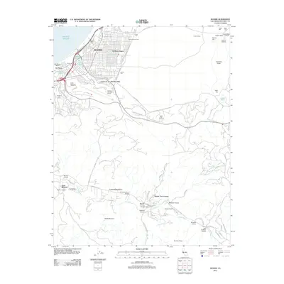
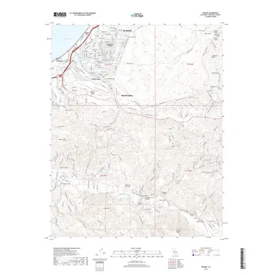
(12)- 2012 Map of Marina, 2012 Print
 2012 Marina2012 Print · USGSCovers Seaside, including Monterey, Marina, and other nearby areas
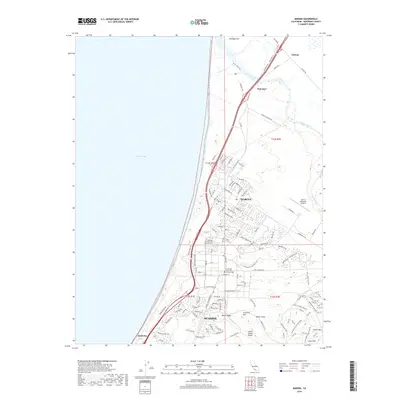
 - 2012 Map of Seaside, 2012 Print
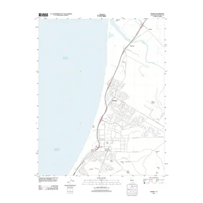
 2012 Seaside2012 Print · USGSCovers Seaside, including Monterey, Del Rey Oaks, and other nearby areas
 - 2012 Map of Monterey OE N, 2012 Print
 2012 Monterey OE N2012 Print · USGSCovers Seaside, including Monterey, Pacific Grove, and other nearby areas
 - 2015 Map of Marina, 2015 Print
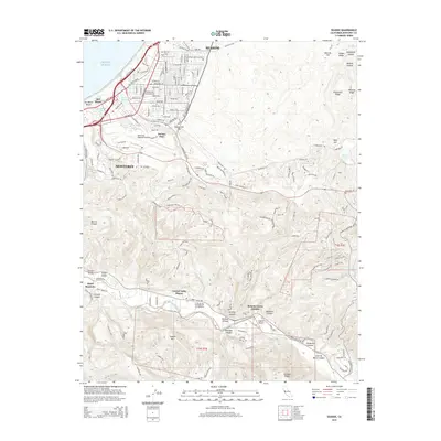
 2015 Marina2015 Print · USGSCovers Seaside, including Monterey, Marina, and other nearby areas
 - 2015 Map of Seaside, 2015 Print
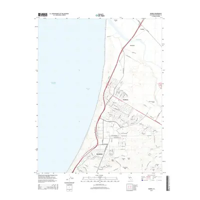
 2015 Seaside2015 Print · USGSCovers Seaside, including Monterey, Del Rey Oaks, and other nearby areas
 - 2015 Map of Monterey OE N, 2015 Print
 2015 Monterey OE N2015 Print · USGSCovers Seaside, including Monterey, Pacific Grove, and other nearby areas
 - 2018 Map of Monterey OE N, 2018 Print
 2018 Monterey OE N2018 Print · USGSCovers Seaside, including Monterey, Pacific Grove, and other nearby areas
 - 2018 Map of Seaside, 2018 Print
 2018 Seaside2018 Print · USGSCovers Seaside, including Monterey, Del Rey Oaks, and other nearby areas
 - 2018 Map of Marina, 2018 Print
 2018 Marina2018 Print · USGSCovers Seaside, including Monterey, Marina, and other nearby areas
 - 2021 Map of Monterey OE N, 2021 Print
 2021 Monterey OE N2021 Print · USGSThe tip of the Monterey Peninsula meets the sea in the early 2020s, showcasing the intricate coastal layout of the region. Local researchers can trace residential growth in Pacific Grove and locate landmarks like El Carmelo Cem and Point Pinos.
 - 2021 Map of Marina, 2021 Print
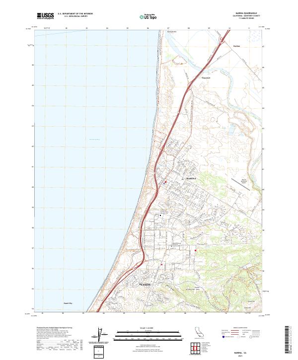 2021 Marina2021 Print · USGSCoastal Monterey County in the early 2020s shows the transition of former military lands into educational and civic spaces. Researchers can trace the layout of the California State University-Monterey Bay campus, the Marina Municipal Airport, and the winding Salinas River.
 - 2021 Map of Seaside, 2021 Print
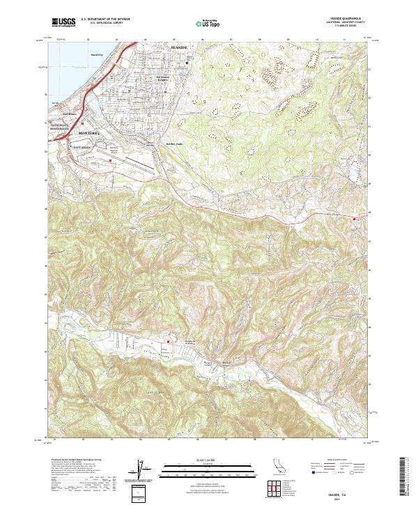 2021 Seaside2021 Print · USGSThe Monterey Peninsula shoreline meets the rising Santa Lucia foothills in this modern survey of the central California coast. Researchers can trace the layout of Seaside and Monterey, locating landmarks like the Laguna Seca International Raceway and the winding course of the Carmel River.
End of results
Showing maps 1-12 of 12
Top cities near Seaside
- Salinas historical maps
- Monterey historical maps
- Marina historical maps
- Prunedale historical maps
- Pacific Grove historical maps
- Carmel-by-the-Sea historical maps
See more
Top neighborhoods of Seaside
Frequently asked questions
- What are the different types of historical maps available for Seaside?
- What is the oldest map of Seaside?
- Where can I purchase historical maps of Seaside for my home or office?
- Where can I download high-res historical maps of Seaside?
- Are there historical topographic maps available for Seaside?
- Is there historical aerial imagery available for Seaside?
- Where are historical maps of Seaside sourced from?