Old Maps of Nevada City, California for Metal Detecting
Plan your next treasure hunt with 26 historic maps of Nevada City. Find old homesites, ghost towns, trails, and gathering spots that may be lost to time — perfect for identifying promising metal detecting locations.
- Locate forgotten sites: Uncover places like long-lost settlements, abandoned rail lines, or gathering spots.
- Plan better hunts: Use map overlays combined with LiDAR or satellite views to narrow in on historically rich areas.
- Made for detectorists: Thousands of hobbyists use these maps to discover relics, coins, and hidden history.
Use these historic maps to boost your research and find new opportunities beneath the surface of Nevada City.
Nevada City, CA maps
(26)- 1888 Map of Smartsville
 1888 Smartsville1888 Print · USGSGold Country was in its industrial prime during the late eighteen-hundreds, with deep-shaft mines and hydraulic camps dotting the Sierra foothills. Researchers can trace early family holdings and mining claims through landmarks like French Corral, the North Star Mine, and the historic settlement of Timbuctoo.
 - 1891 Map of Smartsville
 1891 Smartsville1891 Print · USGSGold Country in the late nineteenth century was a landscape of deep mines and timber rails. This survey allows researchers to trace the industrial footprint of the Idaho and North Star Mine alongside vanished camps like Condemned Bar and French Corral.
 - 1892 Map of Smartsville
 1892 Smartsville1892 Print · USGSThe gold-bearing ridges of the Sierra foothills are captured here in the late nineteenth century, showing the height of the hard-rock mining boom. Researchers can trace the narrow-gauge rail lines and locate famous claims including the Empire Mine, Idaho Mine, and the Sulphuret Works.
 - 1894 Map of Smartsville
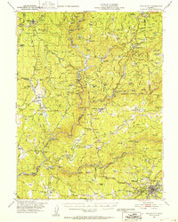
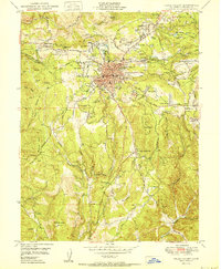
 1894 Smartsville1894 Print · USGSIn the mid-1880s, the Sierra foothills around Nevada City and Grass Valley were a hive of mining and ranching activity. Genealogists and historians can trace old homesteads like Lanes Ranch, follow the Nevada Co Narrow Gauge RR, and locate forgotten camps like Rough & Ready.
 - 1895 Map of Smartsville
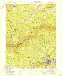
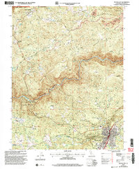
 1895 Smartsville1895 Print · USGSThe Northern Mother Lode thrives during the peak of industrial quartz mining in the late nineteenth century. Researchers can trace the complex rail and mine networks of Nevada City and Grass Valley, alongside historic outposts like Smartsville and Rough & Ready.6 unique versions available
 - 1948 Map of Nevada City, 1953 Print
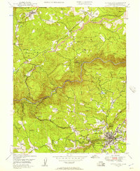
 1948 Nevada City1953 Print · USGSNevada City and the Yuba River canyons are captured here in the late 1940s, just as modern reservoirs began to reshape the old gold country. Genealogists and historians can trace family-named sites like Godfrey Ranch (Pike PO), Pleasant Valley Sch, and the Nevada City Rancheria.4 unique versions available
 - 1948 Map of Nevada City, 1957 Print
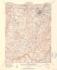
 1948 Nevada City1957 Print · USGSThe Gold Country of the Sierra foothills is captured here shortly after the war, showing the historic mining hubs and river crossings of Nevada County. Researchers can locate legacy sites like Cherokee Diggings, the Nevada City Airport, and family holdings like Robinson Ranch.4 unique versions available
 - 1949 Map of Grass Valley, 1953 Print
 1949 Grass Valley1953 Print · USGSGold mining operations dominate the landscape around the Sierra foothills just after the war. Local researchers can trace the extent of the Empire Mine, find remote outposts like Anthony House, or locate rural schools such as Limekiln Sch and Forest Springs Sch.5 unique versions available
 - 1949 Map of Grass Valley, 1954 Print
 1949 Grass Valley1954 Print · USGSGrass Valley stands at a postwar industrial peak, surrounded by legendary gold mines and expanding mountain neighborhoods. Genealogists and historians can locate family plots at Greenwood Mem Cem and trace old school districts like Forest Springs Sch.3 unique versions available
 - 1950 Map of Grass Valley
 1950 Grass Valley1950 Print · USGSMid-century Nevada County is seen here during a period when massive gold mining operations still defined the Sierra foothills landscape. Genealogists and historians can trace the workings of the Empire Mine, find family plots at Greenwood Mem Cem, or locate the old Forest Springs Sch.
 - 1950 Map of Nevada City
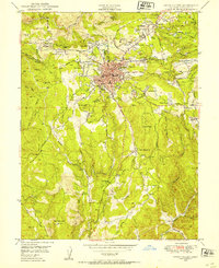
 1950 Nevada City1950 Print · USGSMid-century Nevada County is captured here during a time when hydraulic mining scars and active ranches shaped the landscape. Genealogists and historians can locate family holdings like Marshall Ranch or trace legacy sites such as the Daisy Blue Mine and Newtown.
 - 1958 Map of Chico, 1962 Print
 1958 Chico1962 Print · USGSMid-century Northern California comes to life across the Central Valley and high Sierras as the postwar economy transformed the landscape. Trace the rail lines of the Southern Pacific RR, locate family roots near Chico Cem, or explore the early layout of Paradise and Beale Air Force Base.4 unique versions available
 - 1960 Map of Chico
 1960 Chico1960 Print · USGSThe Northern California high country and Sacramento Valley meet in this 1960s-era landscape of mining towns and river settlements. Trace the rail-and-water economy of the gold country through the Empire Mine, Beale Air Force Base, and the Western Pacific Railroad.
 - 1993 Map of Yuba City, 1994 Print
 1993 Yuba City1994 Print · USGSThe Sacramento Valley and Sierra Nevada foothills meet in the 1990s, where agricultural bypasses and river networks surround the iconic Sutter Buttes. Researchers can trace the rail corridors of the Southern Pacific and Western Pacific through hubs like Marysville and Gridley.
 - 1995 Map of Nevada City
 1995 Nevada City1995 Print · USGSNevada City and the surrounding gold country are shown here in the mid-nineties, revealing a landscape shaped by both nature and industry. Genealogists and historians can trace family-named sites like Reader Ranch and Hillard Ranch, or locate historic mining sites including Cherokee Diggings and the Sebastopol Diggings.2 unique versions available
 - 1995 Map of Grass Valley
 1995 Grass Valley1995 Print · USGSGrass Valley and Nevada City are shown here in the mid-1990s, when the region's deep mining heritage met modern residential growth. Genealogists and historians can trace industrial sites like Empire Mine alongside St Patricks Cem and Peardale.2 unique versions available
 - 1998 Map of Grass Valley, 2002 Print
 1998 Grass Valley2002 Print · USGSGrass Valley and Nevada City represent the heart of the Gold Country during the late 1990s as the region balanced mining history with modern growth. Researchers can locate family landmarks like the Idaho-Maryland Mine, St Patricks Cem, and Granite Hill.
 - 2000 Map of Nevada City, 2003 Print
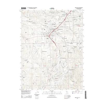
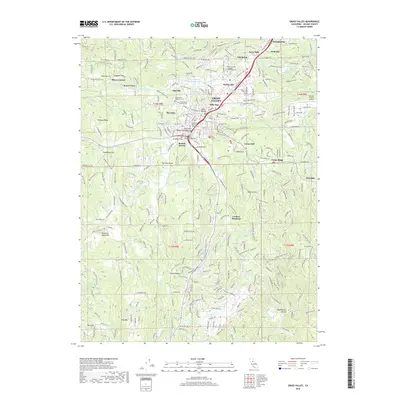
 2000 Nevada City2003 Print · USGSNevada City and the surrounding Sierra foothills are mapped here as the millennium turned, showing a landscape defined by gold-rush history and state park conservation. Trace old hydraulic works at Cherokee Diggings Hydraulic Mine or locate family landmarks like Marshall Ranch and Newtown.
 - 2012 Map of Grass Valley, 2012 Print
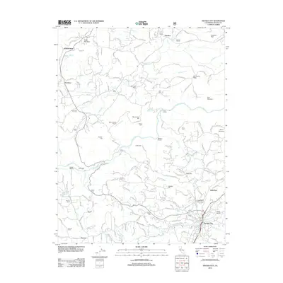
 2012 Grass Valley2012 Print · USGSCovers Nevada City, including Grass Valley, Ridge View, and other nearby areas
 - 2012 Map of Nevada City, 2012 Print
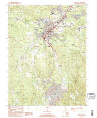
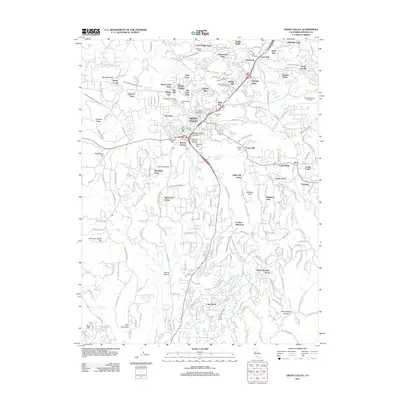
 2012 Nevada City2012 Print · USGSCovers Nevada City, including Woolman School, Sweetland, and other nearby areas
 - 2015 Map of Grass Valley, 2015 Print
 2015 Grass Valley2015 Print · USGSCovers Nevada City, including Grass Valley, Ridge View, and other nearby areas
 - 2015 Map of Nevada City, 2015 Print
 2015 Nevada City2015 Print · USGSCovers Nevada City, including Woolman School, Sweetland, and other nearby areas
 - 2018 Map of Nevada City, 2018 Print
 2018 Nevada City2018 Print · USGSCovers Nevada City, including Woolman School, Sweetland, and other nearby areas
 - 2018 Map of Grass Valley, 2018 Print
 2018 Grass Valley2018 Print · USGSCovers Nevada City, including Grass Valley, Ridge View, and other nearby areas
 - 2022 Map of Nevada City, 2022 Print
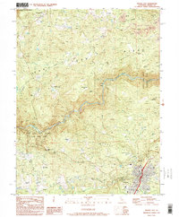
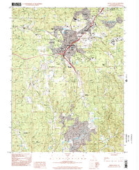
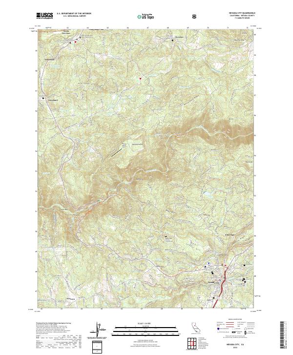 2022 Nevada City2022 Print · USGSNevada City and the surrounding Mother Lode ridges are captured in this recent survey of the Sierra foothills. Researchers can trace historic cemeteries and civic landmarks, from the Nevada County Courthouse to the Maidu Tribal Burying Grounds Cem and Pioneer Cem.
Showing maps 1-25 of 26
Top cities near Nevada City
- Grass Valley historical maps
- Colfax historical maps
- Rough and Ready historical maps
- Washington historical maps
Frequently asked questions
- What are the different types of historical maps available for Nevada City?
- What is the oldest map of Nevada City?
- Where can I purchase historical maps of Nevada City for my home or office?
- Where can I download high-res historical maps of Nevada City?
- Are there historical topographic maps available for Nevada City?
- Is there historical aerial imagery available for Nevada City?
- Where are historical maps of Nevada City sourced from?