1900s (20th Century) Maps of Fiddyment Farm, Roseville
Explore 14 historic maps of Fiddyment Farm from the 1900s (20th Century). These maps offer a rare glimpse into what life looked like during the 1900s — showing old roads, neighborhoods, homes, and landmarks that have changed or disappeared over time.
Whether you're researching your family's past, planning a metal detecting trip, or studying how Fiddyment Farm's landscape evolved across the 1900s, these high-resolution maps are a powerful tool for exploring the history of this region.
- Focus on a specific era: All maps on this page are from the 1900s, giving you a focused view of this time period.
- See what’s changed: Compare century-old streets, trails, and buildings to today's modern landscape using overlays and satellite layers.
- Research with precision: Use these maps for genealogy, historical research, land use analysis, or educational projects.
- View, download, or print: Maps are fully viewable online in high resolution, and can be downloaded or printed for your own records.
Start exploring Fiddyment Farm's history through authentic maps from the 1900s. This is your window into the past.
Fiddyment Farm, Roseville maps
(14)- 1910 Map of Roseville
 1910 Roseville1910 Print · USGSRoseville was a burgeoning railroad town when this 1908 survey recorded its early street grid and rail junctions. Trace the tracks of the Southern Pacific through Whitney or locate rural landmarks like the Pleasant Grove School and Kaseberg farm.2 unique versions available
 - 1910 Map of Pleasant Grove
 1910 Pleasant Grove1910 Print · USGSThe Sacramento Valley landscape near the Sutter and Placer county line appears here in the early twentieth century, dominated by agricultural plains and interurban rail. Researchers can trace the early path of the Northern Electric RR and find rural landmarks like Eagle School and Alpha School.2 unique versions available
 - 1942 Map of Markham Ravine
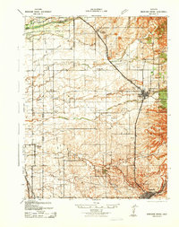 1942 Markham Ravine1942 Print · USGSWestern Placer County was a landscape of busy rail lines and rural schoolhouses in the early 1940s. Genealogists and historians can trace old homesteads near Sheridan, locate the Clay Quarry at Lincoln, or find former community centers like Central Sch.
 - 1947 Map of Sacramento, 1948 Print
 1947 Sacramento1948 Print · USGSThe Sacramento Valley meets the high Sierra during a period of post-war expansion. Trace the historic river delta islands like Grand Island or locate early airfield footprints at McClellan Air Force Base and Mather Air Force Base.2 unique versions available
 - 1948 Map of Sacramento, 1951 Print
 1948 Sacramento1951 Print · USGSPost-war Northern California comes alive in this regional survey, capturing the era of expansion between the Central Valley and the High Sierra. Researchers can trace the rail networks of the Central California Traction and Sacramento Northern RR or locate landmarks like the State Capitol and University of California Davis.
 - 1953 Map of Pleasant Grove, 1954 Print
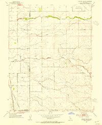 1953 Pleasant Grove1954 Print · USGSThe Sutter and Placer county borderlands are shown here in the mid-twentieth century as a productive landscape of ranches and rail lines. Genealogists and historians can trace family locations near Pleasant Grove, the Alpha Sch, or the small station at Sankey.2 unique versions available
 - 1953 Map of Roseville, 1955 Print
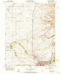 1953 Roseville1955 Print · USGSRoseville was expanding as a major rail hub and agricultural center in the mid-1950s, surrounded by vast orchards and family ranches. Local historians can trace early landholdings such as the W F Fiddyment Ranch and community landmarks like the Public Cem and Woodbridge Sch.2 unique versions available
 - 1953 Map of Lincoln, 1959 Print
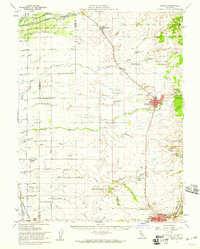 1953 Lincoln1959 Print · USGSMid-century Placer County is captured here during a period of agricultural stability and industrial growth. Researchers can trace family ranching legacies at WF Fiddyment Ranch or explore the clay industry near Clayton and Lincoln.2 unique versions available
 - 1956 Map of Sacramento
 1956 Sacramento1956 Print · USGSMid-century California unfolds from the delta to the high Sierra, capturing a landscape of growing valley cities and burgeoning military airbases. Genealogists and historians can trace the rail lines and river towns from Woodland to Lodi, or explore the foothill settlements of Placerville and Jackson.2 unique versions available
 - 1957 Map of Sacramento, 1966 Print
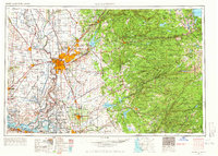 1957 Sacramento1966 Print · USGSIn the mid-twentieth century, the California heartland was a hub of river transport, rail lines, and military airbases. Genealogists and historians can trace the development of Gold Country towns like Angels Camp and Sonora or follow the path of the Southern Pacific RR through the growing suburbs of Sacramento.4 unique versions available
 - 1967 Map of Pleasant Grove, 1968 Print
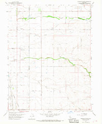 1967 Pleasant Grove1968 Print · USGSThe agricultural heart of the Central Valley at the Sutter and Placer county line comes into focus in this late-sixties survey. Genealogists and historians can trace rail-side settlements like Riego and Sankey or locate landmarks such as the Radio Towers (KFBK).2 unique versions available
 - 1967 Map of Roseville, 1968 Print
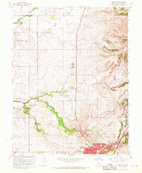 1967 Roseville1968 Print · USGSRoseville and Rocklin appear during a period of agricultural transition in the late sixties as ranching lands met new suburban growth. Genealogists and researchers can locate family-named properties like the W F Fiddlyment Ranch, the Roseville Cem, and the old Southern Pacific rail line.3 unique versions available
 - 1992 Map of Roseville, 1997 Print
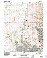 1992 Roseville1997 Print · USGSRoseville and Rocklin are shown during a phase of rapid transition in the early nineties, where historical ranching meets modern suburban development. Genealogists and local historians can trace the W F Fiddyment Ranch, locate the Roseville Cemetery, or follow the Southern Pacific rail lines.
 - 1994 Map of Sacramento
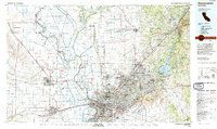 1994 Sacramento1994 Print · USGSThe Sacramento valley was a landscape of massive flood control and military aviation during the mid-nineties. Researchers can trace the complex network of the Yolo Bypass and the Sacramento River alongside McClellan Air Force Base and Zamora.2 unique versions available
End of results
Showing maps 1-14 of 14
Frequently asked questions
- What are the different types of historical maps available for Fiddyment Farm?
- What is the oldest map of Fiddyment Farm?
- Where can I purchase historical maps of Fiddyment Farm for my home or office?
- Where can I download high-res historical maps of Fiddyment Farm?
- Are there historical topographic maps available for Fiddyment Farm?
- Is there historical aerial imagery available for Fiddyment Farm?
- Where are historical maps of Fiddyment Farm sourced from?