Old Maps of Desert Hot Springs, California for Academic Research
Study the evolution of Desert Hot Springs with 33 high-resolution historic maps. Whether you're teaching, researching, or modeling changes in land use, these maps provide essential visual documentation of urban, environmental, and geographic change.
- Analyze long-term change: Track patterns in development, transportation, and natural features.
- Ideal for environmental or urban studies: Support academic projects with primary historical map data.
- Use in the classroom or lab: Educators and researchers rely on these maps to bring historical context to life.
These maps are a powerful tool for teaching, research, and visualizing how Desert Hot Springs has changed over the decades.
Desert Hot Springs, CA maps
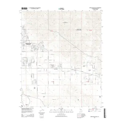
(33)- 1901 Map of Southern California Sheet No. 1
 1901 Southern California Sheet No. 11901 Print · USGSGreater Los Angeles at the dawn of the twentieth century is a landscape of growing citrus towns and a burgeoning rail network. Genealogists and historians can trace the early gridded streets of Hollywood and Pasadena or locate landmarks like Bear Lake and the Cahuilla Indian Reservation.6 unique versions available
 - 1901 Map of San Jacinto
 1901 San Jacinto1901 Print · USGSRiverside County at the dawn of the twentieth century shows a landscape transitioning from tribal lands and mountain reserves to citrus and rail hubs. Genealogists can trace early homesteads and rail stops like Palm Springs Sta. and the grid of Florida or the secluded Kenworthy.9 unique versions available
 - 1904 Map of Southern California Sheet No. 1, 1905 Print
 1904 Southern California Sheet No. 11905 Print · USGSSouthern California at the dawn of the twentieth century shows a landscape of citrus groves and coastal towns connected by rail. Genealogists and historians can trace early settlements like San Juan Capistrano, find remote sites like the Rose Mine, and study the original water systems of the Santa Ana River.2 unique versions available
 - 1940 Map of Palm Springs, 1955 Print
 1940 Palm Springs1955 Print · USGSPalm Springs and the Coachella Valley are captured here as the mid-century resort era began. Trace the early street grids of Palm Springs, the rail operations at Palm Springs Station, and the boundaries of the Agua Caliente Indian Reservation.
 - 1941 Map of Edom, 1957 Print
 1941 Edom1957 Print · USGSThe Coachella Valley and Little San Bernardino Mountains appear here during the early 1940s as desert ranching and date cultivation expanded. Genealogists and historians can locate family-named landmarks like Two Bunch Palms Ranch, Snyder Date Gardens, and the original settlement at Edom.
 - 1944 Map of Palm Springs
 1944 Palm Springs1944 Print · USGSIn the mid-1940s, the desert resort of Palm Springs was still a compact settlement bordered by the Agua Caliente Indian Reservation. Genealogists and researchers can trace the early rail stops at Garnet and Palm Springs Station, or locate mountain retreats like Fern Valley and Pine Cove Camp.
 - 1944 Map of Edom
 1944 Edom1944 Print · USGSThe Coachella Valley was a landscape of date gardens and emerging desert retreats during the early 1940s. Genealogists and desert historians can trace early settlements at Desert Hot Springs and Cathedral City, or locate historic sites like Yerba Trading Post and Thousand Palms Oasis.
 - 1947 Map of Santa Ana, 1949 Print
 1947 Santa Ana1949 Print · USGSSouthern California is depicted here in the late forties, showing the expansion of the Inland Empire and the Orange County coast. Researchers can trace the early layout of Palm Springs or locate long-standing tribal lands like the Pala Indian Reservation and Rincon Indian Res.
 - 1949 Map of Santa Ana
 1949 Santa Ana1949 Print · USGSSouthern California underwent a profound transformation in the late 1940s as military installations and citrus groves shared the landscape. Researchers can trace early coastal growth at Laguna Beach, military history at Camp Pendleton, and the rail corridors of the Pacific Electric.
 - 1955 Map of Desert Hot Springs, 1956 Print
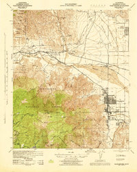
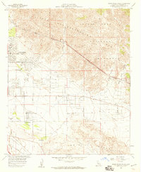
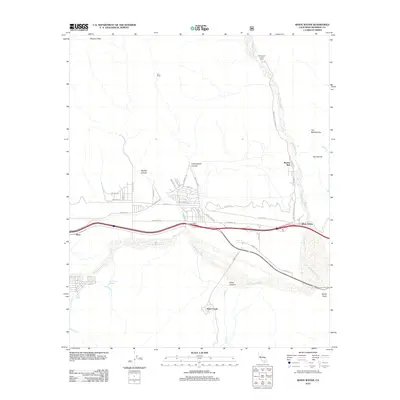
 1955 Desert Hot Springs1956 Print · USGSThe Coachella Valley comes into focus in the mid-1950s as Desert Hot Springs expands alongside the Southern Pacific rail line. Trace family landmarks like Lost Heads Ranch and Lazy C Ranch or the path of the Colorado River Aqueduct.4 unique versions available
 - 1955 Map of Whitewater, 1956 Print
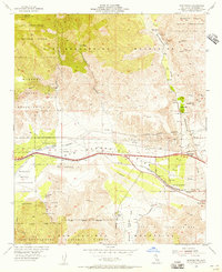 1955 Whitewater1956 Print · USGSSan Gorgonio Pass in the mid-fifties is captured as a vital corridor for water, rail, and early desert settlement. Genealogists and historians can trace family-named sites like Cox Ranch or locate the old Palm Springs Station and White Water PO.4 unique versions available
 - 1956 Map of Santa Ana
 1956 Santa Ana1956 Print · USGSSouthern California underwent massive mid-century transformation as suburban growth met major military and water projects. Trace the postwar expansion of Santa Ana and Riverside, the layout of Camp Pendleton, and the path of the Colorado River Aqueduct.
 - 1957 Map of Palm Springs, 1960 Print
 1957 Palm Springs1960 Print · USGSPalm Springs and the San Jacinto peaks are captured here in the late fifties, showing the desert resort's mid-century expansion. Researchers can locate established landmarks like the White Water PO, trace old mountain retreats at Laws Camp, and see early desert schools like Coffman Sch.4 unique versions available
 - 1958 Map of Seven Palms Valley, 1959 Print
 1958 Seven Palms Valley1959 Print · USGSThe Coachella Valley was transforming into a destination for ranching and geothermal health in the late fifties. You can locate early local landmarks like Two Bunch Palms and Miracle Hill alongside the path of the Colorado River Aqueduct.5 unique versions available
 - 1958 Map of Thousand Palms, 1960 Print
 1958 Thousand Palms1960 Print · USGSThe Coachella Valley was rapidly transforming in the late fifties as ranch life met modern resort culture. You can trace the lineage of early desert settlements like Edom and Miracle Hill, or locate family-named landmarks like Chuckwalla Ranch and Macomber Palms.3 unique versions available
 - 1959 Map of Santa Ana, 1971 Print
 1959 Santa Ana1971 Print · USGSSouthern California is captured in a decade of transformation, from the Orange County coast to the desert floor. Researchers can trace the mid-century footprints of Camp Pendleton, March Air Force Base, and the original Ortega Highway.3 unique versions available
 - 1960 Map of Santa Ana
 1960 Santa Ana1960 Print · USGSSouthern California's coastal plains and inland deserts meet in this mid-century survey of the burgeoning Orange and Riverside county corridors. Researchers can trace the layout of early freeway systems, find tribal lands like the Soboba Indian Reservation, and locate military landmarks such as March Field.2 unique versions available
 - 1965 Map of Santa Ana
 1965 Santa Ana1965 Print · USGSSouthern California is captured in a decade of rapid growth, showing the coastal expansion from Santa Ana down to Oceanside. Genealogists and historians can trace the mid-century development of places like Garden Grove or the rural reaches of Escondido and the Palomar Observatory.
 - 1984 Map of Palm Springs, 1986 Print
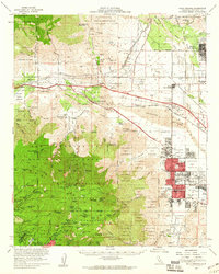
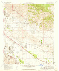
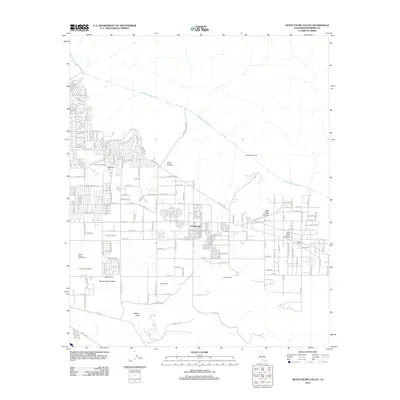
 1984 Palm Springs1986 Print · USGSRiverside County’s desert resorts and valley agriculture are captured here in the mid-eighties as modern development expanded across the Coachella Valley. Genealogists and researchers can trace the growth of Palm Springs, locate family land near the Soboba Indian Reservation, or follow the Southern Pacific rail line through Banning.3 unique versions available
 - 1996 Map of White Water, 1999 Print
 1996 White Water1999 Print · USGSSan Gorgonio Pass in the late nineties serves as a vital artery for California's desert infrastructure and transit. Researchers can trace the path of the Colorado River Aqueduct and the Southern Pacific railroad past White Water PO and the Painted Hill Quarry.
 - 2012 Map of White Water, 2012 Print
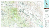
 2012 White Water2012 Print · USGSCovers Desert Hot Springs, including Palm Springs, Whitewater, and other nearby areas
 - 2012 Map of Seven Palms Valley, 2012 Print
 2012 Seven Palms Valley2012 Print · USGSCovers Desert Hot Springs, including Cathedral City, Palm Springs, and other nearby areas
 - 2012 Map of Desert Hot Springs, 2012 Print
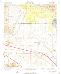
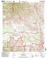
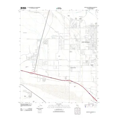 2012 Desert Hot Springs2012 Print · USGSCovers Desert Hot Springs, including Cathedral City, Palm Springs, and other nearby areas
 - 2015 Map of Desert Hot Springs, 2015 Print
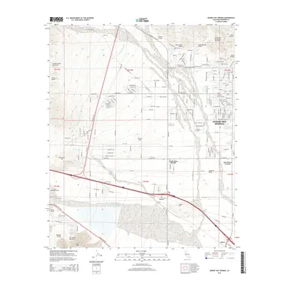 2015 Desert Hot Springs2015 Print · USGSCovers Desert Hot Springs, including Cathedral City, Palm Springs, and other nearby areas
 - 2015 Map of Seven Palms Valley, 2015 Print
 2015 Seven Palms Valley2015 Print · USGSCovers Desert Hot Springs, including Cathedral City, Palm Springs, and other nearby areas
Showing maps 1-25 of 33
Top cities near Desert Hot Springs
- Cathedral City historical maps
- Palm Desert historical maps
- Palm Springs historical maps
- La Quinta historical maps
- Yucca Valley historical maps
- Rancho Mirage historical maps
See more
Frequently asked questions
- What are the different types of historical maps available for Desert Hot Springs?
- What is the oldest map of Desert Hot Springs?
- Where can I purchase historical maps of Desert Hot Springs for my home or office?
- Where can I download high-res historical maps of Desert Hot Springs?
- Are there historical topographic maps available for Desert Hot Springs?
- Is there historical aerial imagery available for Desert Hot Springs?
- Where are historical maps of Desert Hot Springs sourced from?