2000s (21st Century) Maps of Jurupa Valley, California
Explore 20 historic maps of Jurupa Valley from the 2000s (21st Century). These maps offer a rare glimpse into what life looked like during the 2000s — showing old roads, neighborhoods, homes, and landmarks that have changed or disappeared over time.
Whether you're researching your family's past, planning a metal detecting trip, or studying how Jurupa Valley's landscape evolved across the 2000s, these high-resolution maps are a powerful tool for exploring the history of this region.
- Focus on a specific era: All maps on this page are from the 2000s, giving you a focused view of this time period.
- See what’s changed: Compare century-old streets, trails, and buildings to today's modern landscape using overlays and satellite layers.
- Research with precision: Use these maps for genealogy, historical research, land use analysis, or educational projects.
- View, download, or print: Maps are fully viewable online in high resolution, and can be downloaded or printed for your own records.
Start exploring Jurupa Valley's history through authentic maps from the 2000s. This is your window into the past.
Jurupa Valley, CA maps
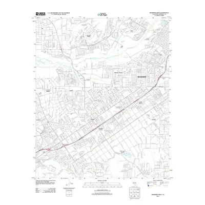
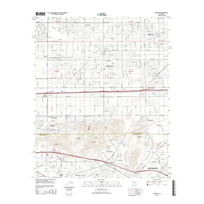
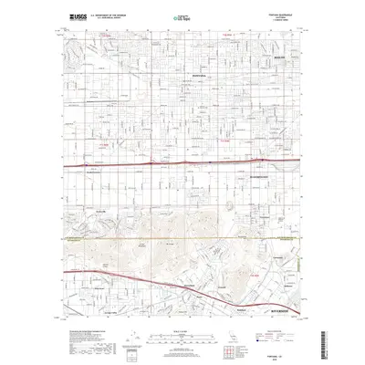
(20)- 2012 Map of Fontana, 2012 Print
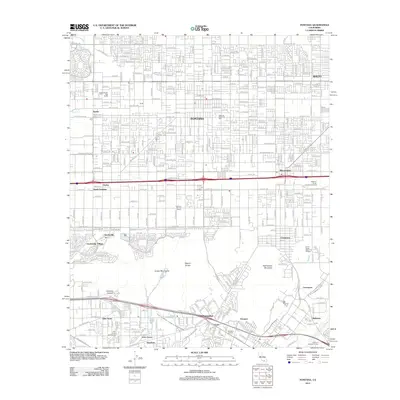 2012 Fontana2012 Print · USGSCovers Jurupa Valley, including Riverside, Fontana, and other nearby areas
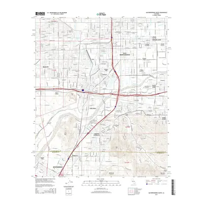
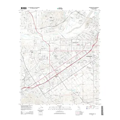
 - 2012 Map of San Bernardino South, 2012 Print
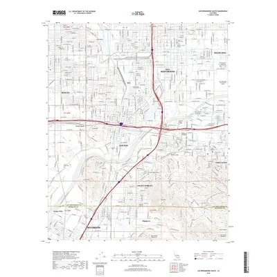
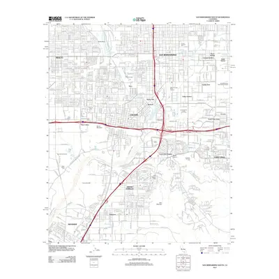 2012 San Bernardino South2012 Print · USGSCovers Jurupa Valley, including Riverside, Rialto, and other nearby areas
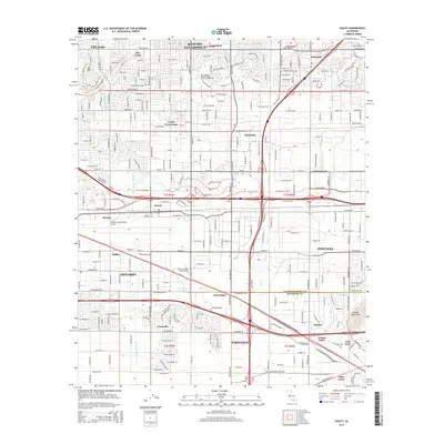
 - 2012 Map of Guasti, 2012 Print
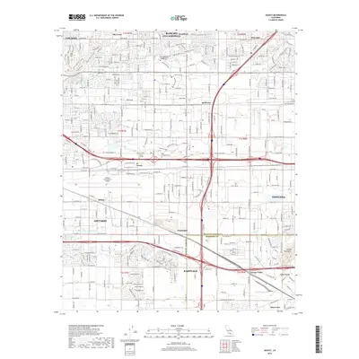
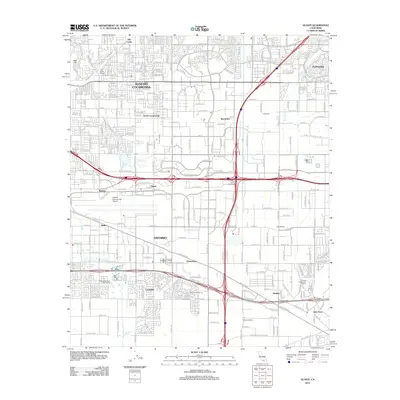 2012 Guasti2012 Print · USGSCovers Jurupa Valley, including Fontana, Ontario, and other nearby areas
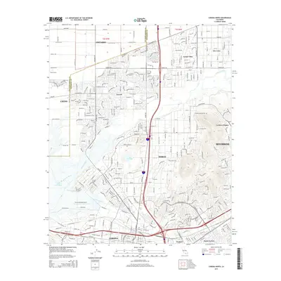
 - 2012 Map of Corona North, 2012 Print
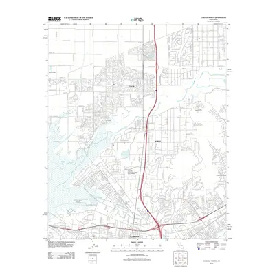 2012 Corona North2012 Print · USGSCovers Jurupa Valley, including Riverside, Ontario, and other nearby areas
 - 2012 Map of Riverside West, 2012 Print
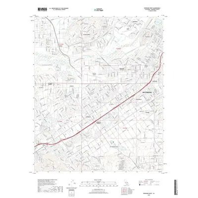
 2012 Riverside West2012 Print · USGSCovers Jurupa Valley, including Riverside, Woodcrest, and other nearby areas
 - 2015 Map of San Bernardino South, 2015 Print
 2015 San Bernardino South2015 Print · USGSCovers Jurupa Valley, including Riverside, Rialto, and other nearby areas
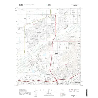
 - 2015 Map of Corona North, 2015 Print
 2015 Corona North2015 Print · USGSCovers Jurupa Valley, including Riverside, Ontario, and other nearby areas
 - 2015 Map of Guasti, 2015 Print
 2015 Guasti2015 Print · USGSCovers Jurupa Valley, including Fontana, Ontario, and other nearby areas
 - 2015 Map of Fontana, 2015 Print
 2015 Fontana2015 Print · USGSCovers Jurupa Valley, including Riverside, Fontana, and other nearby areas
 - 2015 Map of Riverside West, 2015 Print
 2015 Riverside West2015 Print · USGSCovers Jurupa Valley, including Riverside, Woodcrest, and other nearby areas
 - 2018 Map of Guasti, 2018 Print
 2018 Guasti2018 Print · USGSCovers Jurupa Valley, including Fontana, Ontario, and other nearby areas
 - 2018 Map of Fontana, 2018 Print
 2018 Fontana2018 Print · USGSCovers Jurupa Valley, including Riverside, Fontana, and other nearby areas
 - 2018 Map of San Bernardino South, 2018 Print
 2018 San Bernardino South2018 Print · USGSCovers Jurupa Valley, including Riverside, Rialto, and other nearby areas
 - 2018 Map of Corona North, 2018 Print
 2018 Corona North2018 Print · USGSCovers Jurupa Valley, including Riverside, Ontario, and other nearby areas
 - 2018 Map of Riverside West, 2018 Print
 2018 Riverside West2018 Print · USGSCovers Jurupa Valley, including Riverside, Woodcrest, and other nearby areas
 - 2021 Map of Guasti, 2021 Print
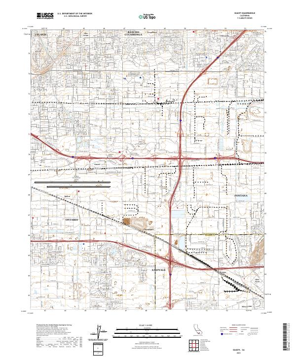 2021 Guasti2021 Print · USGSThe Inland Empire's transition from agricultural roots to a global logistics hub is on full display here. Trace the complex transport network surrounding Ontario International Airport, the historic Pacific Electric Ry line, and the community of Guasti.
 - 2021 Map of San Bernardino South, 2021 Print
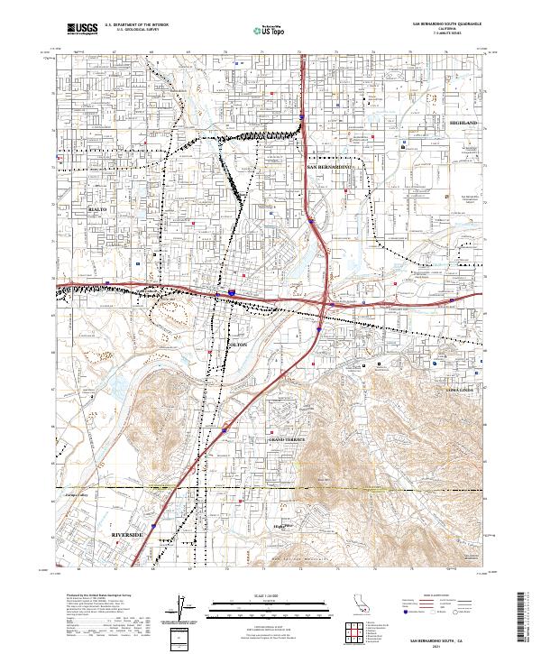 2021 San Bernardino South2021 Print · USGSThe Inland Empire is shown in detail during the early 2020s, centering on the urban connectivity of San Bernardino and Colton. Researchers can trace old family sites at Agua Mansa Pioneer Cemetery or follow industrial lines near Slover Mountain and the BNSF Railway.
 - 2021 Map of Fontana, 2021 Print
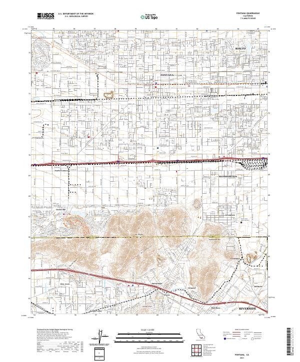 2021 Fontana2021 Print · USGSThe Inland Empire is shown at a point of significant suburban and industrial density in the early 2020s. Researchers can trace the legacy of the regional rail system via the Pacific Electric Trl and locate family history at Rialto Park Cem or Green Acres Memorial Park.
 - 2022 Map of Corona North, 2022 Print
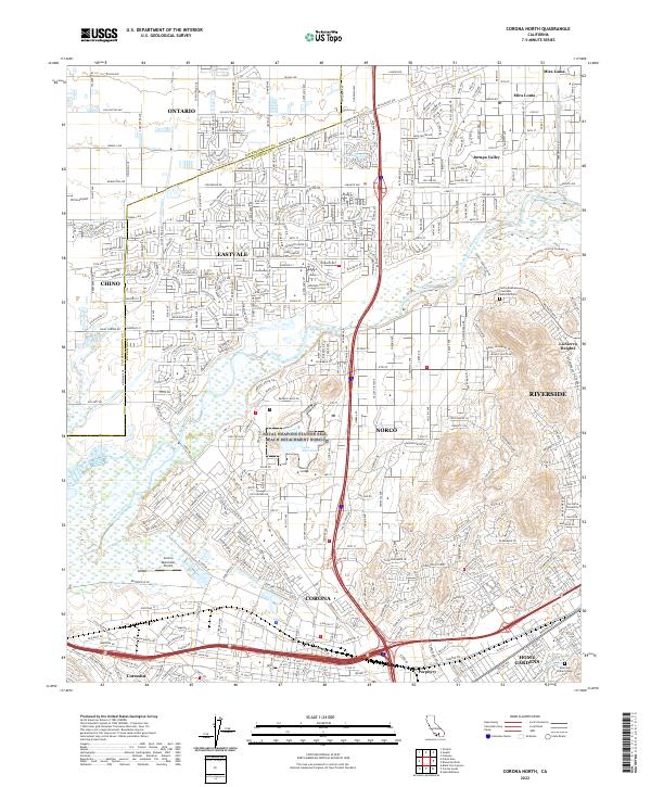 2022 Corona North2022 Print · USGSThe Riverside and Corona corridor shows its modern suburban and industrial character in the early 2020s. Trace the reach of the Riverside Canal and locate important landmarks like Lake Norconian, Norco College, and local cemeteries.
 - 2022 Map of Riverside West, 2022 Print
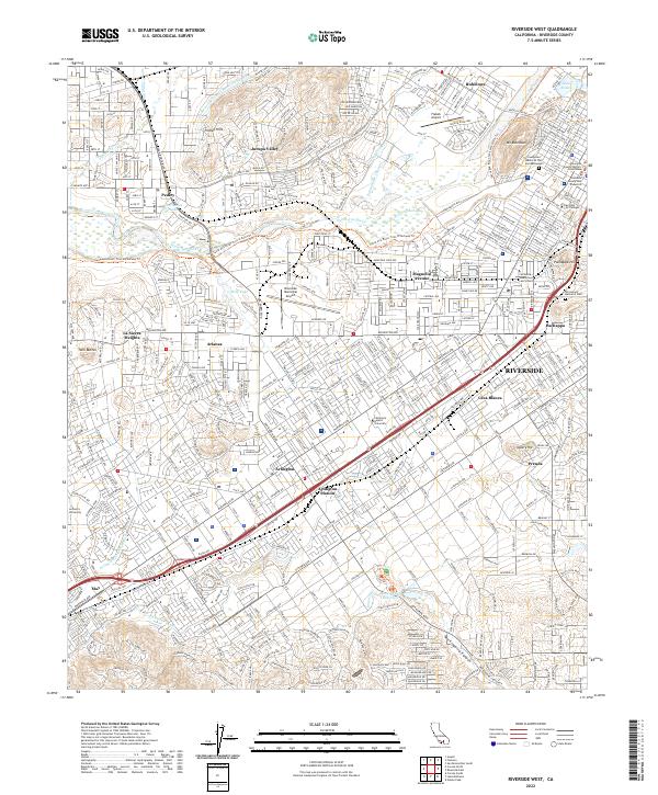 2022 Riverside West2022 Print · USGSRiverside and its surrounding western neighborhoods are captured in detail during this era of modern urban growth. Researchers can trace historic water routes like the Gage Canal or locate local landmarks including Mt Rubidoux, Arlington Station, and Evergreen Memorial Park and Mausoleum.
End of results
Showing maps 1-20 of 20
Top cities near Jurupa Valley
- Anaheim historical maps
- Riverside historical maps
- Irvine historical maps
- Fontana historical maps
- Moreno Valley historical maps
- Ontario historical maps
See more
Top neighborhoods of Jurupa Valley
- Sunnyslope historical maps
- Pedley historical maps
- Glen Avon historical maps
- Rubidoux historical maps
- Mira Loma historical maps
- Crestmore historical maps
See more
Frequently asked questions
- What are the different types of historical maps available for Jurupa Valley?
- What is the oldest map of Jurupa Valley?
- Where can I purchase historical maps of Jurupa Valley for my home or office?
- Where can I download high-res historical maps of Jurupa Valley?
- Are there historical topographic maps available for Jurupa Valley?
- Is there historical aerial imagery available for Jurupa Valley?
- Where are historical maps of Jurupa Valley sourced from?