2000s (21st Century) Maps of La Quinta, California
Explore 16 historic maps of La Quinta from the 2000s (21st Century). These maps offer a rare glimpse into what life looked like during the 2000s — showing old roads, neighborhoods, homes, and landmarks that have changed or disappeared over time.
Whether you're researching your family's past, planning a metal detecting trip, or studying how La Quinta's landscape evolved across the 2000s, these high-resolution maps are a powerful tool for exploring the history of this region.
- Focus on a specific era: All maps on this page are from the 2000s, giving you a focused view of this time period.
- See what’s changed: Compare century-old streets, trails, and buildings to today's modern landscape using overlays and satellite layers.
- Research with precision: Use these maps for genealogy, historical research, land use analysis, or educational projects.
- View, download, or print: Maps are fully viewable online in high resolution, and can be downloaded or printed for your own records.
Start exploring La Quinta's history through authentic maps from the 2000s. This is your window into the past.
La Quinta, CA maps
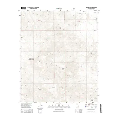
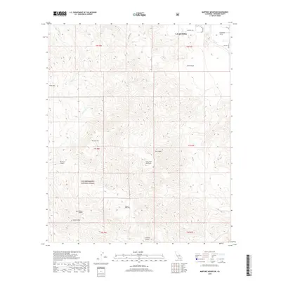
(16)- 2012 Map of Martinez Mountain, 2012 Print
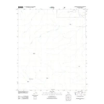 2012 Martinez Mountain2012 Print · USGSCovers La Quinta, including Riverside County, United States, and other nearby areas
 - 2012 Map of La Quinta, 2012 Print
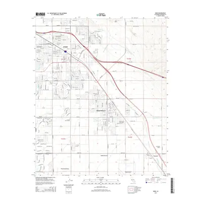
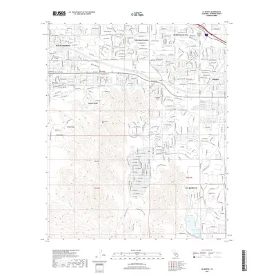
 2012 La Quinta2012 Print · USGSCovers La Quinta, including Indio, Indio, and other nearby areas
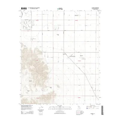
 - 2012 Map of Valerie, 2012 Print
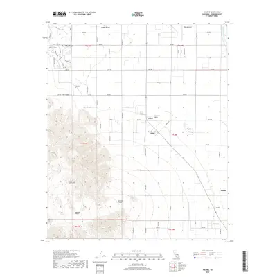
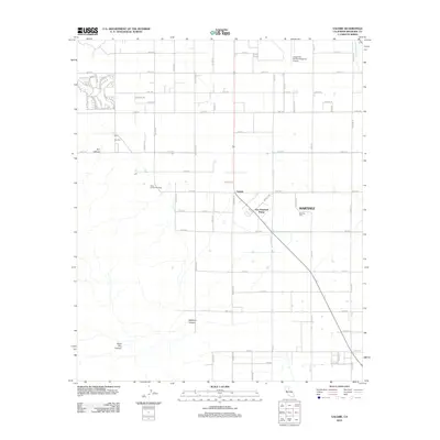 2012 Valerie2012 Print · USGSCovers La Quinta, including Valerie, Martinez, and other nearby areas
 - 2012 Map of Indio, 2012 Print
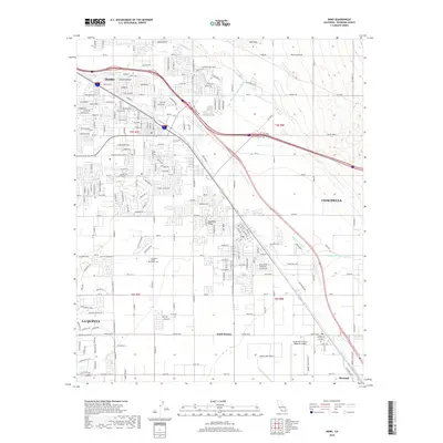
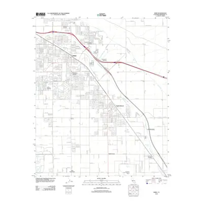 2012 Indio2012 Print · USGSCovers La Quinta, including Indio, Indio, and other nearby areas
 - 2015 Map of Indio, 2015 Print
 2015 Indio2015 Print · USGSCovers La Quinta, including Indio, Indio, and other nearby areas
 - 2015 Map of Martinez Mountain, 2015 Print
 2015 Martinez Mountain2015 Print · USGSCovers La Quinta, including Riverside County, United States, and other nearby areas
 - 2015 Map of La Quinta, 2015 Print
 2015 La Quinta2015 Print · USGSCovers La Quinta, including Indio, Indio, and other nearby areas
 - 2015 Map of Valerie, 2015 Print
 2015 Valerie2015 Print · USGSCovers La Quinta, including Valerie, Martinez, and other nearby areas
 - 2018 Map of La Quinta, 2018 Print
 2018 La Quinta2018 Print · USGSCovers La Quinta, including Indio, Indio, and other nearby areas
 - 2018 Map of Valerie, 2018 Print
 2018 Valerie2018 Print · USGSCovers La Quinta, including Valerie, Martinez, and other nearby areas
 - 2018 Map of Martinez Mountain, 2018 Print
 2018 Martinez Mountain2018 Print · USGSCovers La Quinta, including Riverside County, United States, and other nearby areas
 - 2018 Map of Indio, 2018 Print
 2018 Indio2018 Print · USGSCovers La Quinta, including Indio, Indio, and other nearby areas
 - 2021 Map of Martinez Mountain, 2021 Print
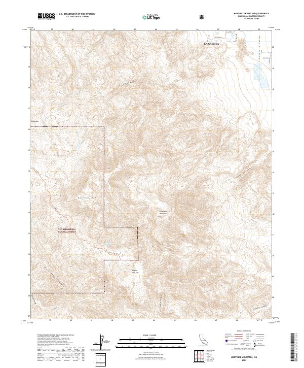 2021 Martinez Mountain2021 Print · USGSRiverside County at the start of the 2020s shows the meeting point of high mountain peaks and the desert floor. Researchers can trace the Cactus Springs Trail through the San Bernardino National Forest past Agua Alta Spring.
 - 2021 Map of La Quinta, 2021 Print
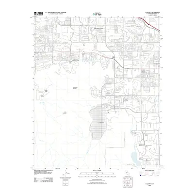
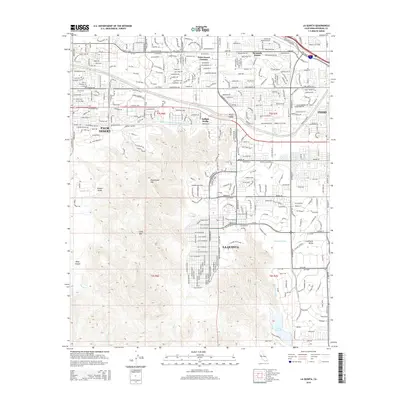
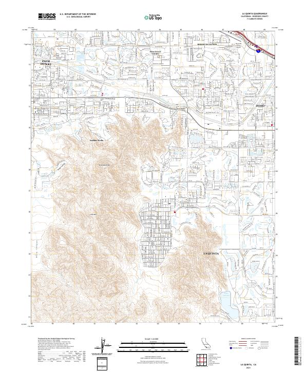 2021 La Quinta2021 Print · USGSLa Quinta and the neighboring Coachella Valley communities are shown during a period of modern expansion. Researchers can trace the development of Indian Wells and Bermuda Dunes, or locate landmarks like Lake Cahuilla and the Coachella Canal.
 - 2021 Map of Indio, 2021 Print
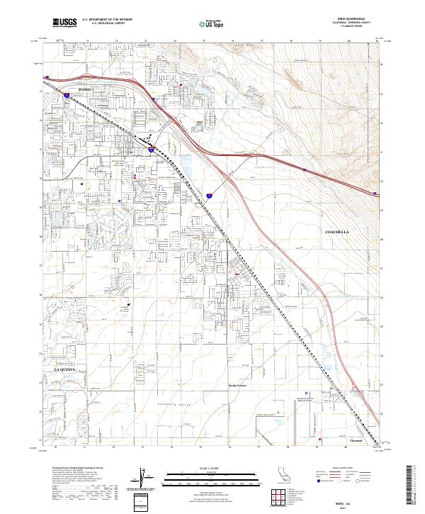 2021 Indio2021 Print · USGSThe Coachella Valley at the start of the 2020s is a landscape of desert cities and essential water infrastructure. Researchers can trace the development of Indio and Coachella, locating landmarks like the Coachella Valley Public Cem and the Jacqueline Cochran Regional Airport.
 - 2021 Map of Valerie, 2021 Print
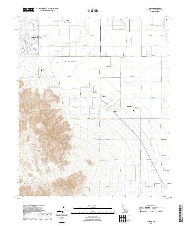 2021 Valerie2021 Print · USGSRiverside County at the start of the 2020s shows a fascinating mix of traditional desert agriculture and modern suburban growth. Genealogists and local historians can trace the foundations of the area at the Toro Cem, One Hundred Palms, and the rural settlement of Oasis.
End of results
Showing maps 1-16 of 16
Top cities near La Quinta
- Indio historical maps
- Indio historical maps
- Cathedral City historical maps
- Palm Desert historical maps
- Palm Springs historical maps
- Coachella historical maps
See more
Frequently asked questions
- What are the different types of historical maps available for La Quinta?
- What is the oldest map of La Quinta?
- Where can I purchase historical maps of La Quinta for my home or office?
- Where can I download high-res historical maps of La Quinta?
- Are there historical topographic maps available for La Quinta?
- Is there historical aerial imagery available for La Quinta?
- Where are historical maps of La Quinta sourced from?