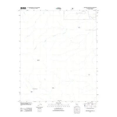
2012 Map of Martinez Mountain
USGS Topo · Published 2012About this map
Martinez Mountain dominates this portion of Riverside County, where the high desert terrain meets the development of the Coachella Valley. The map captures a transitional landscape where suburban infrastructure, such as Washington St and Avenue 60, abruptly gives way to a network of steep canyons and natural drainage systems. Water remains a critical element of the topography, evidenced by the presence of Agua Alta Spring and seasonal watercourses like Guadalupe Cr and Bear Cr.
Find a feature on this map
16 named features on this map. Tap any name to fly to it.
Don’t see what you’re looking for? This feature index may not catch every label — zoom into the map to look around manually.
Map Details
Editions of this 2012 Martinez Mountain Map
This is the sole edition of this map. No revisions or reprints were ever made.
Other maps of this area

1904 · Indio
USGS Topo · 1:125,000

1931 · Vallecito
USGS Topo · 1:125,000

1941 · Toro Peak
USGS Topo · 1:62,500

1941 · Clark Lake
USGS Topo · 1:62,500

1941 · Coachella
USGS Topo · 1:62,500

1942 · Agua Dulce
USGS Topo · 1:62,500

1942 · Clark Lake
USGS Topo · 1:62,500

1943 · Vallecito
USGS Topo · 1:125,000

1943 · Coachella
USGS Topo · 1:62,500

1944 · Agua Dulce
USGS Topo · 1:62,500