Old Maps of La Quinta, California for Academic Research
Study the evolution of La Quinta with 36 high-resolution historic maps. Whether you're teaching, researching, or modeling changes in land use, these maps provide essential visual documentation of urban, environmental, and geographic change.
- Analyze long-term change: Track patterns in development, transportation, and natural features.
- Ideal for environmental or urban studies: Support academic projects with primary historical map data.
- Use in the classroom or lab: Educators and researchers rely on these maps to bring historical context to life.
These maps are a powerful tool for teaching, research, and visualizing how La Quinta has changed over the decades.
La Quinta, CA maps
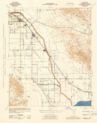
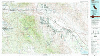
(36)- 1904 Map of Indio
 1904 Indio1904 Print · USGSThe Conchilla Desert and San Jacinto Mountains appear here at the turn of the century as the Southern Pacific rail corridor began to transform the valley. Trace early settlements and tribal lands like Cabezon Indian Res., Figtree John, and the Asbestos Mine.7 unique versions available
 - 1941 Map of Toro Peak, 1954 Print
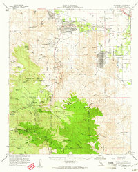
 1941 Toro Peak1954 Print · USGSThe Coachella Valley and Santa Rosa Mountains appear here in the early 1940s, just as modern desert communities were emerging. Trace the early development of Rancho Mirage and La Quinta or locate historical sites like the Garnet Queen Mine and Pinyon Flat.
 - 1941 Map of Coachella, 1956 Print
 1941 Coachella1956 Print · USGSRiverside County at the dawn of the 1940s reveals a desert landscape undergoing a profound transformation through irrigation and rail. Genealogists and historians can trace family-named landmarks and tribal boundaries near Indio, Mecca, and the Coachella Valley High Sch.2 unique versions available
 - 1943 Map of Coachella, 1944 Print
 1943 Coachella1944 Print · USGSThe Coachella Valley was a developing desert agricultural corridor in the early 1940s, centered on the railroad and tribal lands. Researchers can locate early schools like Ensign School, tribal sites including the Torres Martinez Indian Reservation Headquarters, and the shoreline of the Salton Sea.
 - 1944 Map of Toro peak
 1944 Toro peak1944 Print · USGSThe Coachella Valley and Santa Rosa Mountains appear here in the 1940s as desert resorts began to expand. Trace early footprints in Rancho Mirage and La Quinta, or locate the remote Asbestos Mine and Garnet Queen Mine.
 - 1947 Map of Santa Ana, 1949 Print
 1947 Santa Ana1949 Print · USGSSouthern California is depicted here in the late forties, showing the expansion of the Inland Empire and the Orange County coast. Researchers can trace the early layout of Palm Springs or locate long-standing tribal lands like the Pala Indian Reservation and Rincon Indian Res.
 - 1949 Map of Santa Ana
 1949 Santa Ana1949 Print · USGSSouthern California underwent a profound transformation in the late 1940s as military installations and citrus groves shared the landscape. Researchers can trace early coastal growth at Laguna Beach, military history at Camp Pendleton, and the rail corridors of the Pacific Electric.
 - 1956 Map of Santa Ana
 1956 Santa Ana1956 Print · USGSSouthern California underwent massive mid-century transformation as suburban growth met major military and water projects. Trace the postwar expansion of Santa Ana and Riverside, the layout of Camp Pendleton, and the path of the Colorado River Aqueduct.
 - 1956 Map of Indio, 1957 Print
 1956 Indio1957 Print · USGSThe Coachella Valley in the mid-fifties reveals an intensive desert irrigation landscape anchored by the Southern Pacific railroad. Genealogists and historians can trace the foundations of Indio through locations like the County Fairground and Coachella Valley Cemetery.5 unique versions available
 - 1956 Map of Valerie, 1957 Print
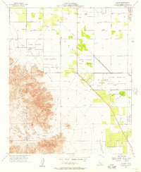 1956 Valerie1957 Print · USGSThe Colorado Desert at the edge of the Salton Sink comes to life in the mid-fifties as agriculture and ancient heritage intersect. Researchers can locate the Early Indian Fish Traps, Martinez Cemetery, and the original site of 100 Palms.4 unique versions available
 - 1956 Map of Coachella, 1961 Print
 1956 Coachella1961 Print · USGSThe lower Coachella Valley thrived as a mid-century agricultural powerhouse before the modern resort era fully took hold. Genealogists and historians can trace the foundations of local communities through landmarks like the Coachella Valley Cem, the Thermal Airport, and the Early Indian Fish Traps Petroglyphs.2 unique versions available
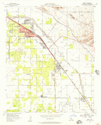
 - 1959 Map of La Quinta, 1960 Print
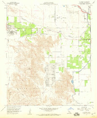 1959 La Quinta1960 Print · USGSPalm Desert and the surrounding Coachella Valley are captured here during a period of rapid mid-century growth. Researchers can trace the early layouts of Indian Wells and La Quinta alongside landmarks like the Coachella Canal and Point Happy.4 unique versions available
 - 1959 Map of Palm Desert, 1961 Print
 1959 Palm Desert1961 Print · USGSThe Coachella Valley was rapidly evolving in the late fifties as desert resorts expanded toward the high peaks. Genealogists and historians can locate early landmarks like Shumway Ranch, the Asbestos Mine, and the Indian Village Site.4 unique versions available
 - 1959 Map of Santa Ana, 1971 Print
 1959 Santa Ana1971 Print · USGSSouthern California is captured in a decade of transformation, from the Orange County coast to the desert floor. Researchers can trace the mid-century footprints of Camp Pendleton, March Air Force Base, and the original Ortega Highway.3 unique versions available
 - 1960 Map of Santa Ana
 1960 Santa Ana1960 Print · USGSSouthern California's coastal plains and inland deserts meet in this mid-century survey of the burgeoning Orange and Riverside county corridors. Researchers can trace the layout of early freeway systems, find tribal lands like the Soboba Indian Reservation, and locate military landmarks such as March Field.2 unique versions available
 - 1965 Map of Santa Ana
 1965 Santa Ana1965 Print · USGSSouthern California is captured in a decade of rapid growth, showing the coastal expansion from Santa Ana down to Oceanside. Genealogists and historians can trace the mid-century development of places like Garden Grove or the rural reaches of Escondido and the Palomar Observatory.
 - 1975 Map of Indio, 1977 Print
 1975 Indio1977 Print · USGSThe Coachella Valley in the mid-1970s reveals a massive expansion of desert agriculture centered on the rail-and-road corridors. Genealogists and researchers can trace the early footprints of Indio, Coachella, and the small community of Thermal.
 - 1981 Map of Martinez Mtn, 1982 Print
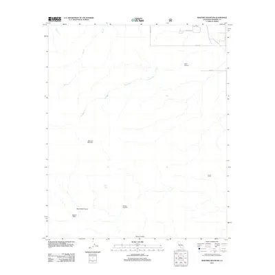
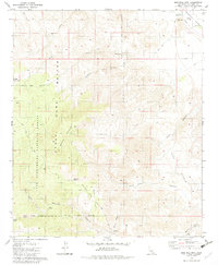 1981 Martinez Mtn1982 Print · USGSThe Riverside County desert highlands are captured here in the early eighties, showcasing the transition from national forest to valley floor. Researchers can trace the Cactus Spring Trail and locate remote water sources like Aqua Alta Spring and Martinez Spring.2 unique versions available
 - 1984 Map of Palm Springs, 1986 Print
 1984 Palm Springs1986 Print · USGSRiverside County’s desert resorts and valley agriculture are captured here in the mid-eighties as modern development expanded across the Coachella Valley. Genealogists and researchers can trace the growth of Palm Springs, locate family land near the Soboba Indian Reservation, or follow the Southern Pacific rail line through Banning.3 unique versions available
 - 1996 Map of Martinez Mountain, 1999 Print
 1996 Martinez Mountain1999 Print · USGSThe Santa Rosa range in the mid-nineties was a landscape of steep canyons and critical water management. Hikers and researchers can trace the Cactus Spring Trail through the Santa Rosa Wilderness or locate the Coachella Valley Aqueduct near Lake Cahuilla County Park.
 - 2012 Map of Martinez Mountain, 2012 Print
 2012 Martinez Mountain2012 Print · USGSCovers La Quinta, including Riverside County, United States, and other nearby areas
 - 2012 Map of La Quinta, 2012 Print
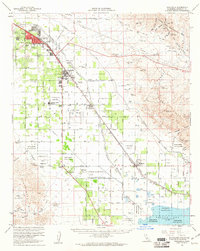
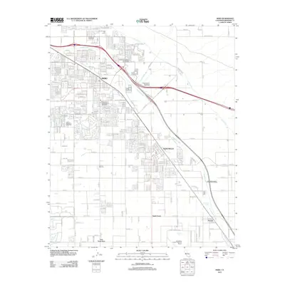
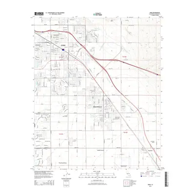
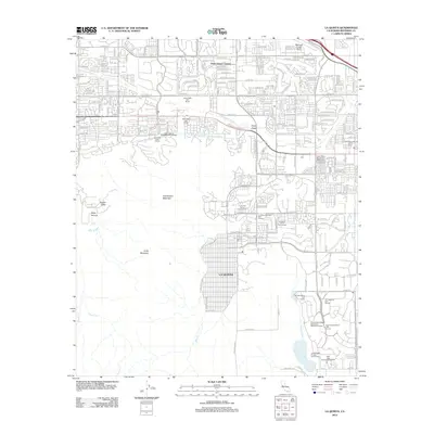 2012 La Quinta2012 Print · USGSCovers La Quinta, including Indio, Indio, and other nearby areas
 - 2012 Map of Valerie, 2012 Print
 2012 Valerie2012 Print · USGSCovers La Quinta, including Valerie, Martinez, and other nearby areas
 - 2012 Map of Indio, 2012 Print
 2012 Indio2012 Print · USGSCovers La Quinta, including Indio, Indio, and other nearby areas
 - 2015 Map of Indio, 2015 Print
 2015 Indio2015 Print · USGSCovers La Quinta, including Indio, Indio, and other nearby areas
Showing maps 1-25 of 36
Top cities near La Quinta
- Indio historical maps
- Indio historical maps
- Cathedral City historical maps
- Palm Desert historical maps
- Palm Springs historical maps
- Coachella historical maps
See more
Frequently asked questions
- What are the different types of historical maps available for La Quinta?
- What is the oldest map of La Quinta?
- Where can I purchase historical maps of La Quinta for my home or office?
- Where can I download high-res historical maps of La Quinta?
- Are there historical topographic maps available for La Quinta?
- Is there historical aerial imagery available for La Quinta?
- Where are historical maps of La Quinta sourced from?