Old Maps of Morse, California for Genealogy
Trace your family roots with 18 historic maps of Morse. These high-res maps reveal old neighborhoods, homesites, landmarks, and streets — helping you uncover where your ancestors lived and how the area evolved over time.
- Explore historic neighborhoods: Identify where your relatives may have lived in the 1800s or 1900s.
- Compare maps over time: Trace the changes in streets, buildings, and landmarks for multi-generational research.
- Perfect for genealogy & ancestry research: Used by family historians and researchers to map out lineage and migration.
These maps are an incredible resource for exploring your personal connection to Morse's past.
Morse, CA maps
(18)- 1919 Map of Hollister
 1919 Hollister1919 Print · USGSThe Santa Clara and San Benito county line area in the late nineteen-teens shows a landscape of expansive ranches and rural school districts. Genealogists can trace early homesteads and family names at Pacheco Ranch, San Justo School, and Dunneville.
 - 1921 Map of Hollister
 1921 Hollister1921 Print · USGSThe San Benito and San Justo valleys come alive in this post-World War I era survey of the Hollister region. Researchers can trace family estates and early landmarks like the County Hospital, Barco Ranch, and the Southern Pacific rail line.4 unique versions available
 - 1923 Map of Hollister, 1955 Print
 1923 Hollister1955 Print · USGSHollister and the surrounding San Benito valley are captured here in the early 1920s as the rail and agricultural networks were fully established. Genealogists can locate family holdings like Indart Ranch and numerous rural landmarks such as Enterprise School and the COUNTY HOSPITAL.
 - 1940 Map of Hollister
 1940 Hollister1940 Print · USGSSan Benito County is shown just before the war as a landscape of productive ranches and emerging civic infrastructure. Genealogists and local historians can trace rural school districts like Anasymas School and the Southern Pacific rail line through Tres Pinos.2 unique versions available
 - 1948 Map of Santa Cruz
 1948 Santa Cruz1948 Print · USGSThe Central Coast and San Joaquin Valley meet in this mid-century look at the region's agricultural and military geography. Genealogists and historians can trace the paths of El Camino Real, locate family farms near Hollister, or study the footprint of the Fort Ord Military Reservation.2 unique versions available
 - 1955 Map of Santa Cruz
 1955 Santa Cruz1955 Print · USGSCoastal Monterey Bay and the fertile Salinas Valley are captured here during the post-war expansion of the mid-fifties. Researchers can trace the era's rail-and-road network via the Southern Pacific lines and find landmarks like Fort Ord or the Lonoak School.
 - 1955 Map of Hollister, 1956 Print
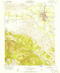 1955 Hollister1956 Print · USGSHollister and the surrounding San Benito valley floor are captured here in the mid-fifties, just as the local community was expanding. Researchers can trace the Southern Pacific rail lines, the old San Benito County H S and Jr College, and early mountain roads through the San Andreas Rift Zone.5 unique versions available
 - 1955 Map of Hollister, 1960 Print
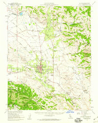 1955 Hollister1960 Print · USGSSan Benito County in the mid-fifties is captured here during a time of agricultural prominence and steady town growth. Genealogists and local historians can trace the foundations of Hollister while locating rural landmarks like San Justo Sch and the Indart Ranch.2 unique versions available
 - 1957 Map of Santa Cruz
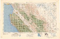 1957 Santa Cruz1957 Print · USGSCentral California comes into sharp focus during the late fifties, from the fog-swept Monterey Bay to the sun-drenched San Joaquin Valley. Genealogists and historians can trace the mid-century footprints of Fort Ord Military Reservation, the Southern Pacific line, and the historic streets of San Juan Bautista.
 - 1958 Map of Santa Cruz
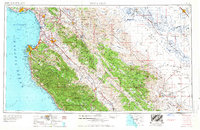 1958 Santa Cruz1958 Print · USGSCoastal California and the central valleys are shown during the mid-fifties, capturing a landscape of massive military reserves and vital rail arteries. Genealogists and historians can trace the Southern Pacific line through Salinas or explore the early footprints of the Fort Ord Military Reservation and San Juan Bautista.2 unique versions available
 - 1965 Map of Santa Cruz, 1968 Print
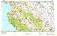 1965 Santa Cruz1968 Print · USGSThe Central Coast and San Joaquin Valley meet here during the mid-sixties, capturing the growth of agricultural and coastal hubs. Trace the historic Southern Pacific RR lines and locate sites like the Presidio of Monterey or Pinnacles National Monument.
 - 1974 Map of Monterey, 1977 Print
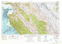 1974 Monterey1977 Print · USGSThe Central Coast and San Joaquin Valley meet in this mid-seventies survey of the Monterey region. Genealogists and historians can locate Spanish-era sites like the San Antonio de Padua Mission, early industrial markers such as the New Idria Mine, and coastal landmarks like the Point Sur Lighthouse.
 - 1983 Map of Monterey, 1984 Print
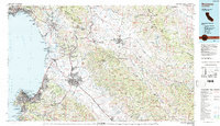 1983 Monterey1984 Print · USGSCoastal Monterey and the Salinas Valley appear in the early eighties as a hub of military activity and deep-rooted agriculture. Researchers can trace historic land grant boundaries like Rancho Buena Vista or locate sites like Mission San Juan Bautista and Spreckels.2 unique versions available
 - 1995 Map of Hollister, 1998 Print
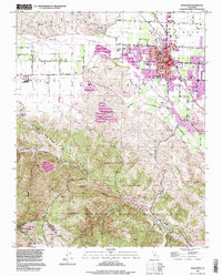 1995 Hollister1998 Print · USGSHollister and the surrounding San Juan Valley are captured here in the mid-nineties as the city expanded toward the Gabilan Range. Local historians can trace established landmarks like the IOOF Cem and San Benito Joint Union High Sch alongside the striking topography of the San Andreas Rift Zone.
 - 2012 Map of Hollister, 2012 Print
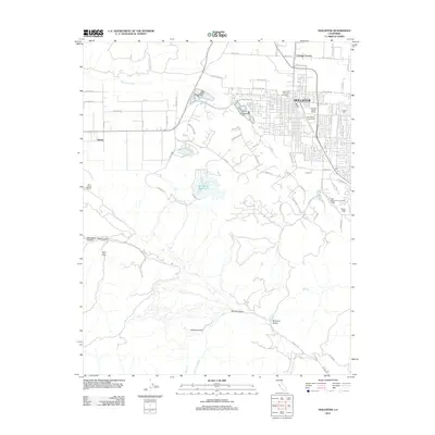 2012 Hollister2012 Print · USGSHollister and the surrounding San Benito County countryside appear in the early 2010s at a peak of agricultural activity. Researchers can trace local landmarks like Calvary Cem, explore the canyons of Hell Hole, or locate the Ozeki San Benito Winery.
 - 2015 Map of Hollister, 2015 Print
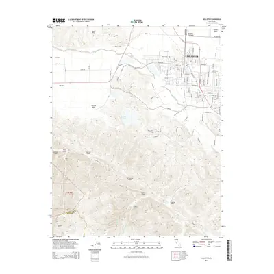 2015 Hollister2015 Print · USGSHollister and the surrounding agricultural valleys are documented here during a period of steady growth along the Central Coast. Researchers can trace the path of the San Andreas Fault past San Justo Reservoir and locate family history at Calvary Cemetery or the settlement of Morse.
 - 2018 Map of Hollister, 2018 Print
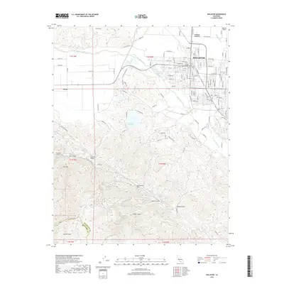 2018 Hollister2018 Print · USGSHollister and the surrounding San Benito County hills are shown in detail during the late twenty-tens, where urban expansion meets the steep Gabilan Range. Researchers can trace the path of the San Andreas Fault or locate landmarks like Calvary Cem and the San Justo Reservoir.
 - 2021 Map of Hollister, 2021 Print
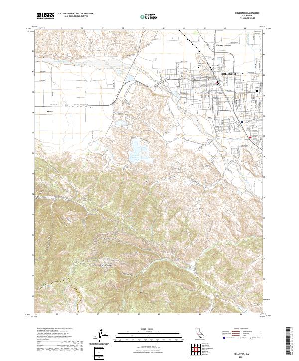 2021 Hollister2021 Print · USGSHollister and the surrounding Gabilan Range foothills are captured here in a period of modern growth and civic development. Researchers can trace local history through landmarks like Odd Fellows Cem, Cottage Corners, and the San Benito County Superior Court.
End of results
Showing maps 1-18 of 18
Top cities near Morse
- Salinas historical maps
- Gilroy historical maps
- Hollister historical maps
- Prunedale historical maps
- San Juan Bautista historical maps
Frequently asked questions
- What are the different types of historical maps available for Morse?
- What is the oldest map of Morse?
- Where can I purchase historical maps of Morse for my home or office?
- Where can I download high-res historical maps of Morse?
- Are there historical topographic maps available for Morse?
- Is there historical aerial imagery available for Morse?
- Where are historical maps of Morse sourced from?