Old Maps of Glen Martin, California for Academic Research
Study the evolution of Glen Martin with 17 high-resolution historic maps. Whether you're teaching, researching, or modeling changes in land use, these maps provide essential visual documentation of urban, environmental, and geographic change.
- Analyze long-term change: Track patterns in development, transportation, and natural features.
- Ideal for environmental or urban studies: Support academic projects with primary historical map data.
- Use in the classroom or lab: Educators and researchers rely on these maps to bring historical context to life.
These maps are a powerful tool for teaching, research, and visualizing how Glen Martin has changed over the decades.
Glen Martin, CA maps
(17)- 1901 Map of Southern California Sheet No. 1
 1901 Southern California Sheet No. 11901 Print · USGSGreater Los Angeles at the dawn of the twentieth century is a landscape of growing citrus towns and a burgeoning rail network. Genealogists and historians can trace the early gridded streets of Hollywood and Pasadena or locate landmarks like Bear Lake and the Cahuilla Indian Reservation.6 unique versions available
 - 1902 Map of San Gorgonio
 1902 San Gorgonio1902 Print · USGSSouthern California at the turn of the century reveals a land of high-desert ranches and remote mountain mining camps. Genealogists and historians can locate early landmarks like Box S Ranch, Old Woman Springs, and the Rose Mine.8 unique versions available
 - 1904 Map of Southern California Sheet No. 1, 1905 Print
 1904 Southern California Sheet No. 11905 Print · USGSSouthern California at the dawn of the twentieth century shows a landscape of citrus groves and coastal towns connected by rail. Genealogists and historians can trace early settlements like San Juan Capistrano, find remote sites like the Rose Mine, and study the original water systems of the Santa Ana River.2 unique versions available
 - 1953 Map of San Bernardino
 1953 San Bernardino1953 Print · USGSSouthern California underwent massive post-war growth as suburban sprawl reached the foothills of the San Bernardino Mountains. Genealogists and historians can trace the rail-and-road roots of the Inland Empire through the Union Pacific RR and Lake Arrowhead resorts.2 unique versions available
 - 1954 Map of San Gorgonio Mountain, 1957 Print
 1954 San Gorgonio Mountain1957 Print · USGSThe San Bernardino high country is captured here during the mid-fifties, showing the peak of alpine resort culture and wilderness preservation. Researchers can locate remote mountain schools like Oak Glen Sch, historic camps such as Camp Angelus, and the old Mill Creek Mine.5 unique versions available
 - 1956 Map of San Bernardino
 1956 San Bernardino1956 Print · USGSSouthern California's Inland Empire and High Desert come into focus in the mid-fifties as agriculture gives way to suburban and military growth. Trace early rail lines like the Pacific Electric or find remote landmarks like Camp Rock Mine and George AFB.
 - 1957 Map of San Bernardino
 1957 San Bernardino1957 Print · USGSSouthern California's Inland Empire and High Desert met during the postwar expansion of the late fifties. Genealogists and historians can trace the growth of San Bernardino and Redlands alongside remote landmarks like Edwards AFB and the Camp Rock Mine.
 - 1958 Map of San Bernardino, 1975 Print
 1958 San Bernardino1975 Print · USGSSouthern California’s Inland Empire and High Desert come into focus during the mid-century boom, showing the rise of suburbs and massive military installations. Researchers can trace the rail networks of the Union Pacific RR or locate landmarks like Norton AFB and Big Bear Lake.
 - 1959 Map of San Bernardino
 1959 San Bernardino1959 Print · USGSSouthern California underwent a massive transformation in the late fifties as suburban growth and military power reshaped the desert and valley. Researchers can trace the legacy of the Union Pacific Railroad and locate early footprints of Joshua Tree National Monument and Edwards Air Force Base.
 - 1966 Map of San Bernardino
 1966 San Bernardino1966 Print · USGSThe San Bernardino Valley and Mojave Desert met during a period of massive military and suburban growth in the mid-sixties. Genealogists and historians can trace the development of Edwards Air Force Base, old desert mines like the Bagdad Chase Mine, and mountain communities near Big Bear Lake.
 - 1970 Map of Big Bear Lake, 1975 Print
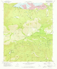 1970 Big Bear Lake1975 Print · USGSBig Bear Lake and the surrounding San Bernardino peaks are captured in the early 1970s, showcasing a landscape of mountain retreats and high-altitude camps. Researchers can trace historic sites like the Seven Oaks Resort, Camp Angelus, and the Glen Martin School.6 unique versions available
 - 1982 Map of Big Bear Lake, 1996 Print
 1982 Big Bear Lake1996 Print · USGSThe San Bernardino Mountains meet the high Mojave desert in the early eighties, showing a landscape defined by mountain resorts and desert basins. Trace the historic Belleville (Site), the rail lines of the Atchison Topeka and Santa Fe, and old mining works like the Gold Belt Mine.
 - 1996 Map of Big Bear Lake, 1999 Print
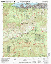 1996 Big Bear Lake1999 Print · USGSBig Bear Lake was a bustling mountain recreation hub in the late nineties, balancing established resort life with deep wilderness. Genealogists and historians can trace the footprint of numerous high-country retreats including Camp O-ongo Rancho, Seven Oaks Resort, and Glen Martin School.
 - 2012 Map of Big Bear Lake, 2012 Print
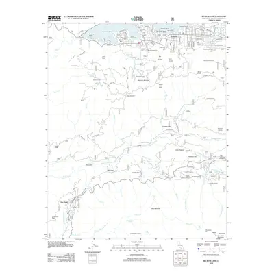 2012 Big Bear Lake2012 Print · USGSBig Bear Lake and the San Bernardino Mountains are shown here during the early twenty-first century. Researchers can trace the development of alpine resorts and camps like Seven Oaks Resort, Camp Radford, and the Snow Summit Ski Area.
 - 2015 Map of Big Bear Lake, 2015 Print
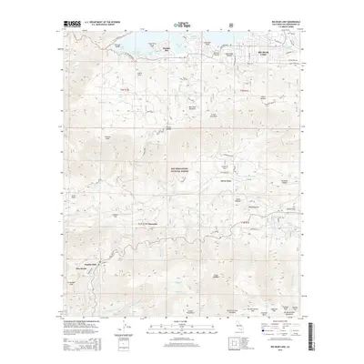 2015 Big Bear Lake2015 Print · USGSThe San Bernardino Mountains come into sharp focus in the mid-2010s, centered on the residential and recreational landscape around Big Bear Lake. Local historians can trace high-altitude settlements and landmarks from Angelus Oaks and Seven Oaks to Snow Summit.
 - 2018 Map of Big Bear Lake, 2018 Print
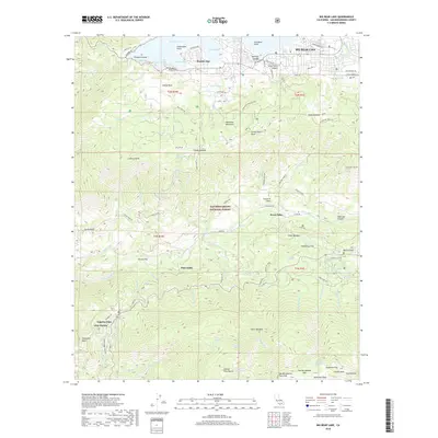 2018 Big Bear Lake2018 Print · USGSBig Bear Lake and the surrounding San Bernardino peaks are captured here in the late twenty-teens, showing a landscape of alpine settlements and forest trails. Researchers can trace the developed shoreline at Boulder Bay, explore mountain enclaves like Angelus Oaks, or follow the Santa Ana River through Seven Oaks.
 - 2021 Map of Big Bear Lake, 2021 Print
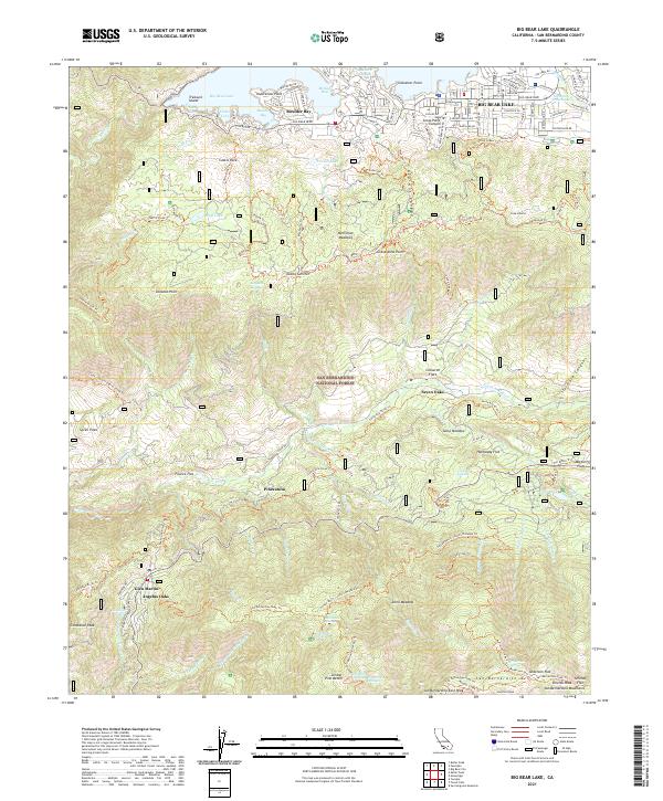 2021 Big Bear Lake2021 Print · USGSThe San Bernardino Mountains come into sharp focus in the early 2020s, centered on the high-altitude communities surrounding the lake. History buffs can trace the development of Big Bear Lake or locate mountain outposts like Seven Oaks and Angelus Oaks.
End of results
Showing maps 1-17 of 17
Top cities near Glen Martin
- Moreno Valley historical maps
- Redlands historical maps
- Highland historical maps
- Yucaipa historical maps
- Banning historical maps
- Beaumont historical maps
See more
Frequently asked questions
- What are the different types of historical maps available for Glen Martin?
- What is the oldest map of Glen Martin?
- Where can I purchase historical maps of Glen Martin for my home or office?
- Where can I download high-res historical maps of Glen Martin?
- Are there historical topographic maps available for Glen Martin?
- Is there historical aerial imagery available for Glen Martin?
- Where are historical maps of Glen Martin sourced from?