Old Maps of Hesperia, California for Hiking & Exploration
Hike through history with 49 historic maps of Hesperia. Explore old trails, ghost towns, and forgotten backroads — perfect for outdoor adventurers and local explorers.
- Rediscover forgotten places: Map out old mining camps, roads, and footpaths that no longer exist on modern maps.
- Layer with modern tools: Combine with LiDAR or satellite views to plan hikes through historical terrain.
- Made for exploration: Popular among hikers, overlanders, and local history lovers.
Use these maps to find adventure and explore the hidden past of Hesperia.
Hesperia, CA maps
(49)- 1901 Map of Southern California Sheet No. 1
 1901 Southern California Sheet No. 11901 Print · USGSGreater Los Angeles at the dawn of the twentieth century is a landscape of growing citrus towns and a burgeoning rail network. Genealogists and historians can trace the early gridded streets of Hollywood and Pasadena or locate landmarks like Bear Lake and the Cahuilla Indian Reservation.6 unique versions available
 - 1902 Map of Deep Creek
 1902 Deep Creek1902 Print · USGSThe San Bernardino high country meets the desert edge at the turn of the century, showing a landscape of early ranches and timber harvesting. Genealogists and historians can trace Coxey Ranch, an early Saw Mill, and the original topography of Little Bear Valley.7 unique versions available
 - 1902 Map of Hesperia
 1902 Hesperia1902 Print · USGSSan Bernardino County at the turn of the century shows the vital rail corridor climbing toward the high desert. Genealogists and historians can trace the early route of the Southern California railroad and locate historic outposts like Burcham Ranch and Hesperia.6 unique versions available
 - 1904 Map of Southern California Sheet No. 1, 1905 Print
 1904 Southern California Sheet No. 11905 Print · USGSSouthern California at the dawn of the twentieth century shows a landscape of citrus groves and coastal towns connected by rail. Genealogists and historians can trace early settlements like San Juan Capistrano, find remote sites like the Rose Mine, and study the original water systems of the Santa Ana River.2 unique versions available
 - 1942 Map of Hesperia
 1942 Hesperia1942 Print · USGSSan Bernardino County ranchlands and mountain passes are captured here during the early years of the war. Genealogists and historians can trace the Atchison Topeka and Santa Fe rail line as it climbs toward Cajon Pass and the Cajon Summit Lookout.
 - 1953 Map of San Bernardino
 1953 San Bernardino1953 Print · USGSSouthern California underwent massive post-war growth as suburban sprawl reached the foothills of the San Bernardino Mountains. Genealogists and historians can trace the rail-and-road roots of the Inland Empire through the Union Pacific RR and Lake Arrowhead resorts.2 unique versions available
 - 1956 Map of San Bernardino
 1956 San Bernardino1956 Print · USGSSouthern California's Inland Empire and High Desert come into focus in the mid-fifties as agriculture gives way to suburban and military growth. Trace early rail lines like the Pacific Electric or find remote landmarks like Camp Rock Mine and George AFB.
 - 1956 Map of Cajon, 1957 Print
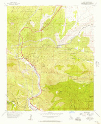 1956 Cajon1957 Print · USGSCajon Pass and the surrounding San Bernardino mountains are shown here during the mid-fifties, capturing the peak of the Route 66 era. You can trace the historic rail lines and find old stops like Cajon Junction, Keenbrook, and Glenn Ranch.8 unique versions available
 - 1956 Map of Baldy Mesa, 1957 Print
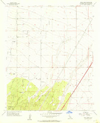 1956 Baldy Mesa1957 Print · USGSThe High Desert south of Victorville is captured in the mid-1950s when ranching and forest boundaries defined the landscape. Genealogists can trace family holdings like Yucca Forest Ranch, Patterson Ranch, and Warner Ranch along the early alignments of Phelan Road.8 unique versions available
 - 1956 Map of Hesperia, 1957 Print
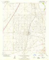 1956 Hesperia1957 Print · USGSHesperia was poised for growth in the mid-fifties as new rail lines and residential grids began to define the high desert landscape. Genealogists and researchers can trace early street layouts and find local landmarks such as the Cem, the Mojave State Fish Hatchery, and the Union Pacific rail corridor.6 unique versions available
 - 1956 Map of Cedar Springs, 1957 Print
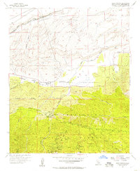 1956 Cedar Springs1957 Print · USGSSummit Valley and the San Bernardino foothills are caught here in the mid-fifties, just as the ranching era met increasing forest management. Researchers can trace the old Las Flores Ranch, find the Las Flores School, and locate the Pillars of God (Open Air Theater) near Camp Seeley.7 unique versions available
 - 1956 Map of Lake Arrowhead, 1957 Print
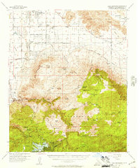 1956 Lake Arrowhead1957 Print · USGSSan Bernardino County's transition from alpine forest to high desert is documented in the mid-1950s as mountain resorts and desert ranches expanded. Genealogists can locate family landmarks like Lone Wolf Colony, Hawes Ranch, and the Apple Valley School.5 unique versions available
 - 1957 Map of San Bernardino
 1957 San Bernardino1957 Print · USGSSouthern California's Inland Empire and High Desert met during the postwar expansion of the late fifties. Genealogists and historians can trace the growth of San Bernardino and Redlands alongside remote landmarks like Edwards AFB and the Camp Rock Mine.
 - 1958 Map of San Bernardino, 1975 Print
 1958 San Bernardino1975 Print · USGSSouthern California’s Inland Empire and High Desert come into focus during the mid-century boom, showing the rise of suburbs and massive military installations. Researchers can trace the rail networks of the Union Pacific RR or locate landmarks like Norton AFB and Big Bear Lake.
 - 1959 Map of San Bernardino
 1959 San Bernardino1959 Print · USGSSouthern California underwent a massive transformation in the late fifties as suburban growth and military power reshaped the desert and valley. Researchers can trace the legacy of the Union Pacific Railroad and locate early footprints of Joshua Tree National Monument and Edwards Air Force Base.
 - 1966 Map of San Bernardino
 1966 San Bernardino1966 Print · USGSThe San Bernardino Valley and Mojave Desert met during a period of massive military and suburban growth in the mid-sixties. Genealogists and historians can trace the development of Edwards Air Force Base, old desert mines like the Bagdad Chase Mine, and mountain communities near Big Bear Lake.
 - 1971 Map of Lake Arrowhead, 1975 Print
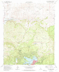 1971 Lake Arrowhead1975 Print · USGSLake Arrowhead and its surrounding national forest summits are captured here in the early seventies during a period of significant alpine development. Researchers can find old mountain enclaves like Deer Lodge Park alongside remote outposts such as Squints Ranch and Rock Camp Guard Station.3 unique versions available
 - 1971 Map of Apple Valley South, 1975 Print
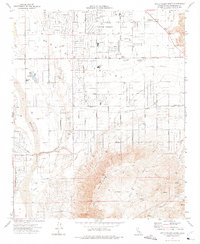 1971 Apple Valley South1975 Print · USGSApple Valley was undergoing a period of high desert expansion in the early 1970s as new residential grids pushed toward the mountains. Researchers can trace local development through landmarks like Jess Ranch, the Lone Wolf Colony, and the Mariana Sch.7 unique versions available
 - 1973 Map of Silverwood Lake, 1980 Print
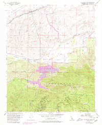 1973 Silverwood Lake1980 Print · USGSThe San Bernardino mountains meet the high desert in the 1970s, as water projects reshape the landscape. Researchers can trace the California Aqueduct and old routes like Las Flores Ranch or the Las Flores School.
 - 1982 Map of San Bernardino, 1983 Print
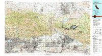 1982 San Bernardino1983 Print · USGSThe Inland Empire and San Gabriel Valley met at a peak of suburban and industrial expansion in the early eighties. Researchers can trace the massive rail infrastructure through Cajon Pass and locate landmarks like Norton Air Force Base or the Fontana International Raceway.
 - 1996 Map of Silverwood Lake, 1999 Print
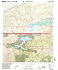 1996 Silverwood Lake1999 Print · USGSThe San Bernardino mountains meet the high desert in the mid-nineties as the reservoir system at Silverwood Lake reshapes the landscape. Researchers can locate the Las Flores Ranch, trace the California Aqueduct, or follow the Pacific Crest National Scenic Trail through the national forest.
 - 1996 Map of Cajon, 1999 Print
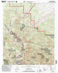 1996 Cajon1999 Print · USGSThe San Bernardino mountains during the 1990s reveal a landscape dominated by the engineering of the Santa Fe and Southern Pacific railroads. Researchers can trace the narrow mountain settlements at Cosy Dell, the historic Little Horsethief Ranch, and the path of the Pacific Crest National Scenic Trail.
 - 1996 Map of Lake Arrowhead, 1999 Print
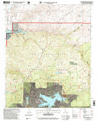 1996 Lake Arrowhead1999 Print · USGSThe San Bernardino mountains near Lake Arrowhead were well-developed by the late nineties, featuring a mix of residential life and wild backcountry. Genealogists and historians can trace local landmarks like Cedar Glen, Squints Ranch, and the Henick School.
 - 1996 Map of Baldy Mesa, 1999 Print
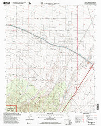 1996 Baldy Mesa1999 Print · USGSThe High Desert region south of Victorville is captured here in the mid-1990s as suburban growth began to meet traditional ranching lands. Genealogists and local historians can trace family-named sites like Fish Ranch and White Ranch near the San Bernardino National Forest boundary.
 - 2012 Map of Apple Valley South, 2012 Print
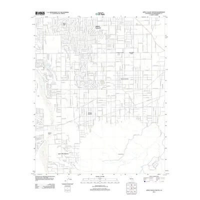 2012 Apple Valley South2012 Print · USGSThe high desert south of the Victor Valley in the early 2010s shows a unique mix of suburban grids and legacy ranch lands. Researchers can trace the layout of specific residential developments like Mariana Ranchos, Lone Wolf Colony, and the historic Jess Ranch.
Showing maps 1-25 of 49
Top cities near Hesperia
- Fontana historical maps
- Rancho Cucamonga historical maps
- Victorville historical maps
- Rialto historical maps
- Apple Valley historical maps
- Adelanto historical maps
See more
Top neighborhoods of Hesperia
Frequently asked questions
- What are the different types of historical maps available for Hesperia?
- What is the oldest map of Hesperia?
- Where can I purchase historical maps of Hesperia for my home or office?
- Where can I download high-res historical maps of Hesperia?
- Are there historical topographic maps available for Hesperia?
- Is there historical aerial imagery available for Hesperia?
- Where are historical maps of Hesperia sourced from?