Old Maps of Highland, California for Genealogy
Trace your family roots with 59 historic maps of Highland. These high-res maps reveal old neighborhoods, homesites, landmarks, and streets — helping you uncover where your ancestors lived and how the area evolved over time.
- Explore historic neighborhoods: Identify where your relatives may have lived in the 1800s or 1900s.
- Compare maps over time: Trace the changes in streets, buildings, and landmarks for multi-generational research.
- Perfect for genealogy & ancestry research: Used by family historians and researchers to map out lineage and migration.
These maps are an incredible resource for exploring your personal connection to Highland's past.
Highland, CA maps
(59)- 1896 Map of San Bernardino
 1896 San Bernardino1896 Print · USGSSan Bernardino and Colton emerge as vital rail junctions during the late nineteenth-century boom. Genealogists and historians can trace early citrus-belt settlements like Rosena, Mound City, and Bloomington alongside the historic Gage Canal.
 - 1898 Map of San Bernardino
 1898 San Bernardino1898 Print · USGSThe San Bernardino valley was a critical railroad junction in the late nineteenth century, defined by rapid irrigation and mountain access. Researchers can trace the early footprints of Colton and Rialto, alongside local landmarks like Glen Helen Ranch and the industrial Quarry at Declezville.
 - 1899 Map of Redlands, 1958 Print
 1899 Redlands1958 Print · USGSThe San Bernardino Valley flourished at the end of the century as an irrigation-fed agricultural power. Trace the early citrus economy through Redlands and Mentone, or locate the Asylum at Patton and the mountain retreat at Squirrel Inn.
 - 1901 Map of Southern California Sheet No. 1
 1901 Southern California Sheet No. 11901 Print · USGSGreater Los Angeles at the dawn of the twentieth century is a landscape of growing citrus towns and a burgeoning rail network. Genealogists and historians can trace the early gridded streets of Hollywood and Pasadena or locate landmarks like Bear Lake and the Cahuilla Indian Reservation.6 unique versions available
 - 1901 Map of San Bernardino
 1901 San Bernardino1901 Print · USGSThe San Bernardino valley thrived as a railway and agricultural crossroads in the late nineteenth century. Genealogists and historians can trace early citrus-belt settlements like Rialto and Colton, or locate landmarks such as Arrowhead Springs and Glen Helen Ranch.8 unique versions available
 - 1901 Map of Redlands
 1901 Redlands1901 Print · USGSRedlands and the San Bernardino valley are seen here at the turn of the century as agriculture and rail networks began to reshape the landscape. Genealogists and historians can trace early irrigation ditches like the Zanja or locate vanished landmarks like the Asylum and Harlem Springs.9 unique versions available
 - 1904 Map of Southern California Sheet No. 1, 1905 Print
 1904 Southern California Sheet No. 11905 Print · USGSSouthern California at the dawn of the twentieth century shows a landscape of citrus groves and coastal towns connected by rail. Genealogists and historians can trace early settlements like San Juan Capistrano, find remote sites like the Rose Mine, and study the original water systems of the Santa Ana River.2 unique versions available
 - 1936 Map of Arrowhead
 1936 Arrowhead1936 Print · USGSSan Bernardino expanded toward the foothills during the mid-thirties as the rail network reached its peak. Genealogists and historians can trace the early footprints of Muscoy, locate the Del Rosa Ranger Sta, and follow the Pacific Electric lines through the valley.
 - 1938 Map of Colton
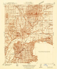 1938 Colton1938 Print · USGSThe rail and citrus hubs of San Bernardino County are in full bloom during the late 1930s. Researchers can trace the industrial infrastructure of Colton and Rialto, including the Cement Plant and the grounds of the National Orange Show.
 - 1941 Map of Arrowhead
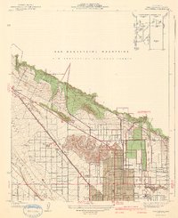 1941 Arrowhead1941 Print · USGSSan Bernardino expanded toward the mountain front during the late thirties and early forties. Trace the complex rail networks of the Union Pacific and Pacific Electric through old neighborhoods like Ono, Muscoy, and Del Rosa.2 unique versions available
 - 1942 Map of San Bernardino
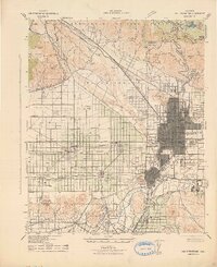 1942 San Bernardino1942 Print · USGSThe San Bernardino Valley flourished as a railroad and citrus hub during the early years of the war. Researchers can trace the extensive tracks of the Atchison Topeka and Santa Fe, the National Orange Show grounds, and local landmarks like the Loma Linda Sanatorium.
 - 1943 Map of Colton
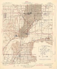 1943 Colton1943 Print · USGSThe Inland Empire’s rail and citrus heritage is on full display during the early 1940s as industry expands around the San Bernardino line. Trace the historic convergence of the Southern Pacific and Union Pacific near Slover Mtn and the National Orange Show grounds.2 unique versions available
 - 1953 Map of San Bernardino
 1953 San Bernardino1953 Print · USGSSouthern California underwent massive post-war growth as suburban sprawl reached the foothills of the San Bernardino Mountains. Genealogists and historians can trace the rail-and-road roots of the Inland Empire through the Union Pacific RR and Lake Arrowhead resorts.2 unique versions available
 - 1953 Map of Harrison Mtn., 1955 Print
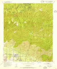 1953 Harrison Mtn.1955 Print · USGSThe San Bernardino foothills and mountain resorts are captured here in the early fifties as valley communities began to expand toward the forest. Genealogists and local historians can trace the footprint of Patton State Hospital and mountain settlements like Skyforest and Fredalba.2 unique versions available
 - 1954 Map of Yucaipa, 1955 Print
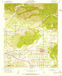 1954 Yucaipa1955 Print · USGSIn the mid-1950s, the citrus groves and mountain foothills of eastern San Bernardino County supported growing communities like Yucaipa and Mentone. Genealogists and historians can trace local landmarks such as Jackson Ranch, Greenleaf School, and the old Southern Pacific rail line.2 unique versions available
 - 1954 Map of Redlands, 1955 Print
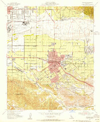 1954 Redlands1955 Print · USGSRedlands and the surrounding citrus groves are captured here in the mid-fifties, just as the region's rail and water networks reached their peak complexity. Genealogists and local historians can trace the foundations of the community through Norton Air Force Base, the University of Redlands, and the San Gabriel Mission Asistencia.2 unique versions available
 - 1954 Map of San Bernardino North, 1955 Print
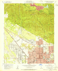 1954 San Bernardino North1955 Print · USGSPostwar growth meets the mountain foothills in the mid-1950s as San Bernardino expands toward the national forest. Researchers can trace historic schools like Polytechnic High Sch, the Pacific Electric rail lines, and resorts at Lake Gregory.2 unique versions available
 - 1954 Map of San Bernardino South, 1955 Print
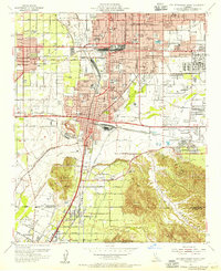 1954 San Bernardino South1955 Print · USGSThe Inland Empire is shown at a pivotal moment of post-war development, where citrus groves meet expanding rail and military hubs. Genealogists and historians can locate legacy sites like Agua Mansa Cemetery, the Union Academy, and the early footprint of Norton Air Force Base.2 unique versions available
 - 1954 Map of San Bernardino, 1959 Print
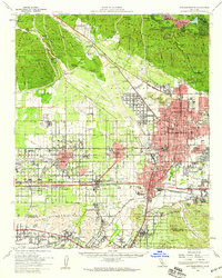 1954 San Bernardino1959 Print · USGSSan Bernardino and the booming valley floor are shown in the mid-fifties as the citrus groves began giving way to suburban and industrial growth. Researchers can trace family roots through Waterman Gardens, find small regional hubs like Miro-Fontana Airport, or locate the historic Agua Mansa Cem.2 unique versions available
 - 1954 Map of Redlands, 1960 Print
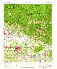 1954 Redlands1960 Print · USGSThe Inland Empire is shown at a mid-century peak of citrus production and mountain development. Genealogists can locate family landmarks from Harlem Springs to Yucaipa, including the San Gabriel Mission Asistencia and University of Redlands.3 unique versions available
 - 1956 Map of San Bernardino
 1956 San Bernardino1956 Print · USGSSouthern California's Inland Empire and High Desert come into focus in the mid-fifties as agriculture gives way to suburban and military growth. Trace early rail lines like the Pacific Electric or find remote landmarks like Camp Rock Mine and George AFB.
 - 1957 Map of San Bernardino
 1957 San Bernardino1957 Print · USGSSouthern California's Inland Empire and High Desert met during the postwar expansion of the late fifties. Genealogists and historians can trace the growth of San Bernardino and Redlands alongside remote landmarks like Edwards AFB and the Camp Rock Mine.
 - 1958 Map of San Bernardino, 1975 Print
 1958 San Bernardino1975 Print · USGSSouthern California’s Inland Empire and High Desert come into focus during the mid-century boom, showing the rise of suburbs and massive military installations. Researchers can trace the rail networks of the Union Pacific RR or locate landmarks like Norton AFB and Big Bear Lake.
 - 1959 Map of San Bernardino
 1959 San Bernardino1959 Print · USGSSouthern California underwent a massive transformation in the late fifties as suburban growth and military power reshaped the desert and valley. Researchers can trace the legacy of the Union Pacific Railroad and locate early footprints of Joshua Tree National Monument and Edwards Air Force Base.
 - 1966 Map of San Bernardino
 1966 San Bernardino1966 Print · USGSThe San Bernardino Valley and Mojave Desert met during a period of massive military and suburban growth in the mid-sixties. Genealogists and historians can trace the development of Edwards Air Force Base, old desert mines like the Bagdad Chase Mine, and mountain communities near Big Bear Lake.
Showing maps 1-25 of 59
Top cities near Highland
- Riverside historical maps
- Moreno Valley historical maps
- Rialto historical maps
- Jurupa Valley historical maps
- Hesperia historical maps
- Redlands historical maps
See more
Top neighborhoods of Highland
- East Highlands historical maps
- Harlem Springs historical maps
- North Norton historical maps
- Molino historical maps
- Warm Springs historical maps
Frequently asked questions
- What are the different types of historical maps available for Highland?
- What is the oldest map of Highland?
- Where can I purchase historical maps of Highland for my home or office?
- Where can I download high-res historical maps of Highland?
- Are there historical topographic maps available for Highland?
- Is there historical aerial imagery available for Highland?
- Where are historical maps of Highland sourced from?