Old Maps of Thunderbird Ranches, California for Hiking & Exploration
Hike through history with 16 historic maps of Thunderbird Ranches. Explore old trails, ghost towns, and forgotten backroads — perfect for outdoor adventurers and local explorers.
- Rediscover forgotten places: Map out old mining camps, roads, and footpaths that no longer exist on modern maps.
- Layer with modern tools: Combine with LiDAR or satellite views to plan hikes through historical terrain.
- Made for exploration: Popular among hikers, overlanders, and local history lovers.
Use these maps to find adventure and explore the hidden past of Thunderbird Ranches.
Thunderbird Ranches, CA maps
(16)- 1932 Map of Barstow, 1956 Print
 1932 Barstow1956 Print · USGSIn the early 1930s, the High Desert economy centered on the Mojave River corridor and the steel rails of the Atchison Topeka and Santa Fe RR. Researchers can trace the early footprints of Barstow and Victorville or locate mining operations like the Apex Mine.
 - 1934 Map of Barstow
 1934 Barstow1934 Print · USGSThe Mojave Desert and its river-based corridor are captured here in the early thirties, during the heyday of Route 66. Researchers can trace the original Atchison Topeka and Santa Fe line and locate mining sites like the Western States Mine or the settlement at Helendale.3 unique versions available
 - 1953 Map of San Bernardino
 1953 San Bernardino1953 Print · USGSSouthern California underwent massive post-war growth as suburban sprawl reached the foothills of the San Bernardino Mountains. Genealogists and historians can trace the rail-and-road roots of the Inland Empire through the Union Pacific RR and Lake Arrowhead resorts.2 unique versions available
 - 1956 Map of San Bernardino
 1956 San Bernardino1956 Print · USGSSouthern California's Inland Empire and High Desert come into focus in the mid-fifties as agriculture gives way to suburban and military growth. Trace early rail lines like the Pacific Electric or find remote landmarks like Camp Rock Mine and George AFB.
 - 1957 Map of Apple Valley
 1957 Apple Valley1957 Print · USGSApple Valley and its surrounding high desert valleys are captured here in the late fifties during a period of suburban growth and active mining. Genealogists and historians can trace early neighborhood layouts and find industrial landmarks like the Sidewinder Mining Railroad, Sidewinder Mine, and Catholic Hill.3 unique versions available
 - 1957 Map of San Bernardino
 1957 San Bernardino1957 Print · USGSSouthern California's Inland Empire and High Desert met during the postwar expansion of the late fifties. Genealogists and historians can trace the growth of San Bernardino and Redlands alongside remote landmarks like Edwards AFB and the Camp Rock Mine.
 - 1958 Map of San Bernardino, 1975 Print
 1958 San Bernardino1975 Print · USGSSouthern California’s Inland Empire and High Desert come into focus during the mid-century boom, showing the rise of suburbs and massive military installations. Researchers can trace the rail networks of the Union Pacific RR or locate landmarks like Norton AFB and Big Bear Lake.
 - 1959 Map of San Bernardino
 1959 San Bernardino1959 Print · USGSSouthern California underwent a massive transformation in the late fifties as suburban growth and military power reshaped the desert and valley. Researchers can trace the legacy of the Union Pacific Railroad and locate early footprints of Joshua Tree National Monument and Edwards Air Force Base.
 - 1966 Map of San Bernardino
 1966 San Bernardino1966 Print · USGSThe San Bernardino Valley and Mojave Desert met during a period of massive military and suburban growth in the mid-sixties. Genealogists and historians can trace the development of Edwards Air Force Base, old desert mines like the Bagdad Chase Mine, and mountain communities near Big Bear Lake.
 - 1970 Map of Fairview Valley, 1975 Print
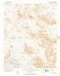
 1970 Fairview Valley1975 Print · USGSThe high desert of San Bernardino County comes into focus in this 1970 survey of industry and terrain. Researchers can trace the industrial layout of the Cement Plant and Red Top Mine or locate historic desert water sources like Isabelle Spring.
 - 1982 Map of Victorville
 1982 Victorville1982 Print · USGSThe High Desert during the early eighties reveals a landscape of massive aerospace installations and growing desert communities. Researchers can trace the sprawling boundaries of Edwards Air Force Base alongside the vital California Aqueduct and the rail hub at Barstow.2 unique versions available
 - 1993 Map of Fairview Valley
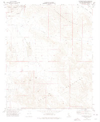
 1993 Fairview Valley1993 Print · USGSHigh desert industry and rugged mountain terrain define this San Bernardino County landscape in the 1990s. Researchers can trace the footprint of mining operations at Black Mountain and locate remote water sources like Quail Spring and Amaral Spring.
 - 2012 Map of Fairview Valley, 2012 Print
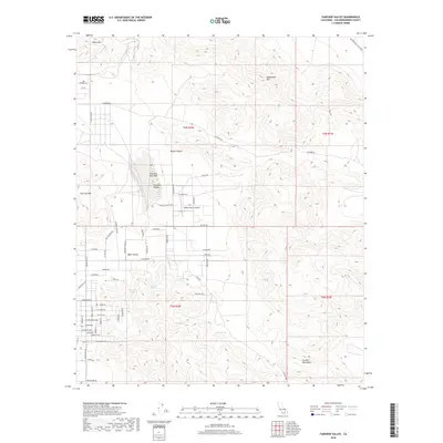
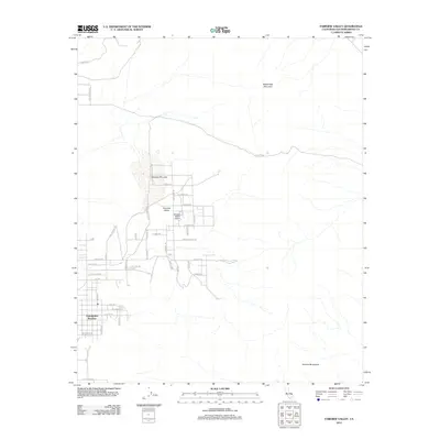 2012 Fairview Valley2012 Print · USGSCovers Thunderbird Ranches, including Lucerne Valley, San Bernardino County, and other nearby areas
 - 2015 Map of Fairview Valley, 2015 Print
 2015 Fairview Valley2015 Print · USGSCovers Thunderbird Ranches, including Lucerne Valley, San Bernardino County, and other nearby areas
 - 2018 Map of Fairview Valley, 2018 Print
 2018 Fairview Valley2018 Print · USGSCovers Thunderbird Ranches, including Lucerne Valley, San Bernardino County, and other nearby areas
 - 2021 Map of Fairview Valley, 2021 Print
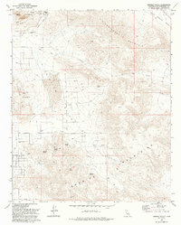
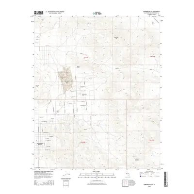
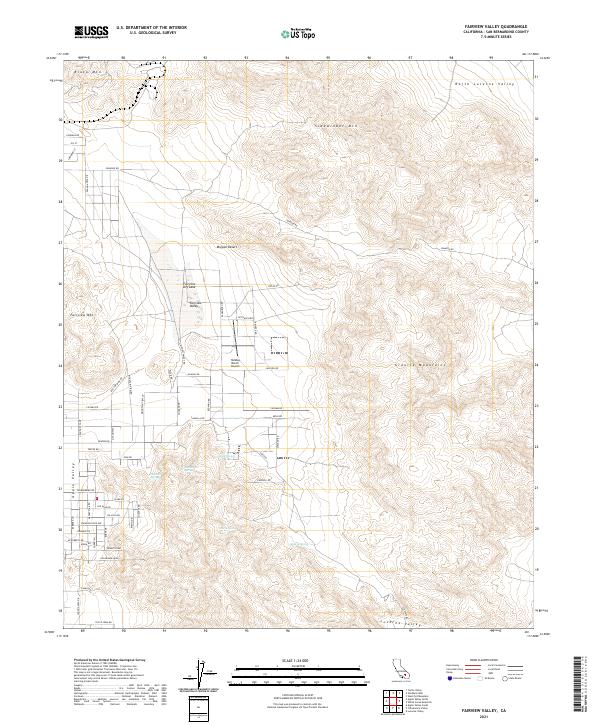 2021 Fairview Valley2021 Print · USGSThe high Mojave Desert comes alive on this survey from the early 2020s, showcasing the intersection of residential growth and wild basin-and-range terrain. Local historians can trace the paths to Quail Spring or locate landmarks like the Holiday Ranch Airport and Fairview Dry Lake.
End of results
Showing maps 1-16 of 16
Top cities near Thunderbird Ranches
- Victorville historical maps
- Hesperia historical maps
- Apple Valley historical maps
- Adelanto historical maps
Frequently asked questions
- What are the different types of historical maps available for Thunderbird Ranches?
- What is the oldest map of Thunderbird Ranches?
- Where can I purchase historical maps of Thunderbird Ranches for my home or office?
- Where can I download high-res historical maps of Thunderbird Ranches?
- Are there historical topographic maps available for Thunderbird Ranches?
- Is there historical aerial imagery available for Thunderbird Ranches?
- Where are historical maps of Thunderbird Ranches sourced from?