Old Maps of Campo, California for Hiking & Exploration
Hike through history with 15 historic maps of Campo. Explore old trails, ghost towns, and forgotten backroads — perfect for outdoor adventurers and local explorers.
- Rediscover forgotten places: Map out old mining camps, roads, and footpaths that no longer exist on modern maps.
- Layer with modern tools: Combine with LiDAR or satellite views to plan hikes through historical terrain.
- Made for exploration: Popular among hikers, overlanders, and local history lovers.
Use these maps to find adventure and explore the hidden past of Campo.
Campo, CA maps
(15)- 1931 Map of Carrizo, 1938 Print
 1931 Carrizo1938 Print · USGSBorderland life in the 1930s is defined by remote ranching outposts and vital desert springs along the international line. Trace old family sites and water sources like Campo P.O., Agua Caliente Hot Springs, and Laguna Ranch.
 - 1939 Map of Campo, 1956 Print
 1939 Campo1956 Print · USGSSouthern San Diego County's high desert and mountain ranchlands are documented here just before the mid-century, featuring the winding international border. Researchers can trace the path of the San Diego and Arizona Eastern railroad through Campo and locate historic sites like Mountain Empire Sch or the U S Customs office.
 - 1942 Map of Campo, 1944 Print
 1942 Campo1944 Print · USGSThe international border and the winding route of the San Diego and Arizona Eastern railroad define this mountain region during the early 1940s. Genealogists and local historians can trace family locations at Castle Rock Ranch, Boulder Oaks, and the Hipass Station rail stop.
 - 1950 Map of San Diego, 1954 Print
 1950 San Diego1954 Print · USGSCoastal San Diego and the Baja California border region come alive in this mid-century survey. Trace the early layout of National City and Chula Vista, or locate historic landmarks like the San Diego and Arizona Eastern RR and Fort Rosecrans.
 - 1954 Map of San Diego
 1954 San Diego1954 Print · USGSSan Diego and the northern reaches of Baja California are captured here during a decade of rapid post-war growth and military expansion. Researchers can trace the mid-century shoreline of Mission Beach, find established tribal lands like Capitan Grande Indian Reservation, and follow the border crossing into Tijuana.
 - 1955 Map of San Diego
 1955 San Diego1955 Print · USGSSouthern California underwent massive growth in the post-war years, as suburban development pushed into the canyons and foothills. Researchers can trace the mid-century infrastructure of Lindbergh Field, the Otay River, and numerous sites like Lemon Grove.
 - 1958 Map of San Diego, 1961 Print
 1958 San Diego1961 Print · USGSSan Diego and its inland mountain ranges are captured here in the late fifties as coastal suburbs began to climb the mesas. Researchers can trace the mid-century footprint of Miramar Naval Air Station, the winding San Diego & Arizona Eastern Ry, and local landmarks like Cabrillo Nat Mon.4 unique versions available
 - 1959 Map of Campo
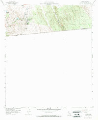 1959 Campo1959 Print · USGSThe high desert and mountain borderlands of San Diego County come into focus during the late fifties. Genealogists and historians can trace the San Diego and Arizona railway through Campo, passing by Rancho Del Campo and Campa Lake.4 unique versions available
 - 1959 Map of Campo, 1961 Print
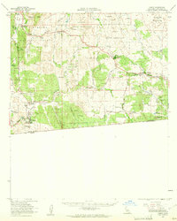 1959 Campo1961 Print · USGSSan Diego's high desert and mountain borderlands are captured here in the late fifties, showing the vital rail link to the coast. Genealogists can trace family holdings and local landmarks from Morena Village to the Coogan Ranch and Tierra del Sol.2 unique versions available
 - 1979 Map of El Cajon
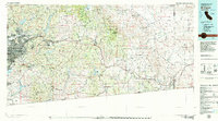 1979 El Cajon1979 Print · USGSSouthern San Diego County and its mountain-to-desert transition are captured here in the late seventies. Researchers can trace the winding San Diego & Arizona Eastern RR, locate rural settlements like Jacumba, and explore the sprawling Cleveland National Forest.2 unique versions available
 - 1996 Map of Campo, 2002 Print
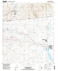 1996 Campo2002 Print · USGSThe California-Mexico border country comes alive in the mid-nineties, showing the rural community of Campo and the PACIFIC CREST NATIONAL SCENIC TRAIL. Genealogists and historians can trace the borderlands from Rancho Del Campo to Santa Margarita.
 - 2012 Map of Campo, 2012 Print
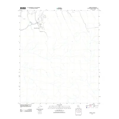 2012 Campo2012 Print · USGSSouthern San Diego County ranch lands and border communities are shown here in the early twenty-first century. Genealogists and local researchers can trace the roads and property boundaries of Rancho Del Campo, Curro Ranch, and the village of Campo.
 - 2015 Map of Campo, 2015 Print
 2015 Campo2015 Print · USGSThe international border and mountain valleys of San Diego County are captured here in the mid-2010s. Trace the path of the Pacific Crest National Scenic Trail as it passes through Campo and past Rancho Del Campo.
 - 2018 Map of Campo, 2018 Print
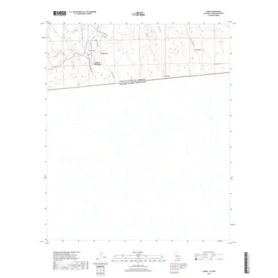 2018 Campo2018 Print · USGSThe international borderlands of San Diego County are captured here in 2018, showing where high-altitude desert life meets the Mexican frontier. Local historians and hikers can trace the Pacific Crest National Scenic Trail as it passes Rancho Del Campo and Campo Lake.
 - 2021 Map of Campo, 2021 Print
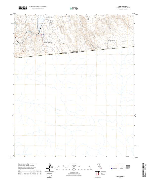 2021 Campo2021 Print · USGSThe international border territory of San Diego County comes into focus in the early 2020s. Trace the path of the Pacific Crest National Scenic Trl near Rancho Del Campo or follow the route of Hwy 94 through Campo Valley.
End of results
Showing maps 1-15 of 15
Top cities near Campo
Frequently asked questions
- What are the different types of historical maps available for Campo?
- What is the oldest map of Campo?
- Where can I purchase historical maps of Campo for my home or office?
- Where can I download high-res historical maps of Campo?
- Are there historical topographic maps available for Campo?
- Is there historical aerial imagery available for Campo?
- Where are historical maps of Campo sourced from?