Old Maps of Coronado, California for Academic Research
Study the evolution of Coronado with 37 high-resolution historic maps. Whether you're teaching, researching, or modeling changes in land use, these maps provide essential visual documentation of urban, environmental, and geographic change.
- Analyze long-term change: Track patterns in development, transportation, and natural features.
- Ideal for environmental or urban studies: Support academic projects with primary historical map data.
- Use in the classroom or lab: Educators and researchers rely on these maps to bring historical context to life.
These maps are a powerful tool for teaching, research, and visualizing how Coronado has changed over the decades.
Coronado, CA maps
(37)- 1904 Map of San Diego
 1904 San Diego1904 Print · USGSSan Diego and its harbor are captured here in the early twentieth century, showing a coastal landscape defined by ranchos and early rail lines. Researchers can trace the development of National City, locate the original grounds of Ft. Rosecrans, and see the early layout of Chulavista.9 unique versions available
 - 1904 Map of Southern California Sheet No. 2
 1904 Southern California Sheet No. 21904 Print · USGSSouthern California during the early 1900s shows the transition from vast ranchos to coastal rail towns. Genealogists and researchers can trace the Southern California R.R. through Oceanside, explore old land grants like Mission Viejo, and locate early settlements from Fallbrook to Julian.5 unique versions available
 - 1930 Map of San Diego, 1960 Print
 1930 San Diego1960 Print · USGSSan Diego and its southern coastal towns appear here at the dawn of the aviation era, showing a landscape defined by naval expansion and ranchos. Trace the early layout of Lindbergh Airport, the military works at Point Loma, and the rails connecting Chula Vista to the United States Mexico border.
 - 1942 Map of Point Loma
 1942 Point Loma1942 Print · USGSSan Diego and the peninsula appear here in the early 1940s, showcasing a landscape of naval installations and coastal neighborhoods. Trace family roots and local history through Roseville Point Loma PO, Tent City, and the Union Sta rail hub.2 unique versions available
 - 1943 Map of San Ysidro
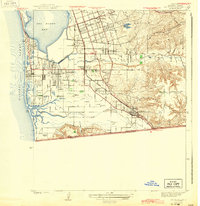 1943 San Ysidro1943 Print · USGSThe Southern California borderlands during the early 1940s reveal a mix of coastal defense, salt harvesting, and emerging towns. Researchers can trace the rail lines through San Ysidro Station or locate family landmarks like Howard Ranch and Emory Sch.2 unique versions available
 - 1944 Map of National City
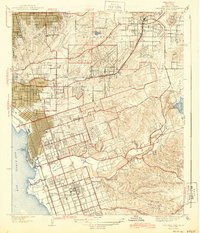 1944 National City1944 Print · USGSPost-war San Diego County comes alive in this survey of the South Bay and its inland valleys. Genealogists and historians can trace family plots at Holy Cross Cem, the growth of Lincoln Acres, or the operations of the Chollas Heights Naval Radio Sta.
 - 1950 Map of San Diego, 1954 Print
 1950 San Diego1954 Print · USGSCoastal San Diego and the Baja California border region come alive in this mid-century survey. Trace the early layout of National City and Chula Vista, or locate historic landmarks like the San Diego and Arizona Eastern RR and Fort Rosecrans.
 - 1953 Map of San Ysidro, 1955 Print
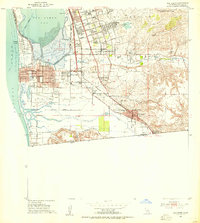 1953 San Ysidro1955 Print · USGSThe South Bay region and Mexican border are captured here in the early fifties as coastal neighborhoods expanded around the massive Salt Evaporators. Genealogists and researchers can trace the development of Palm City, Imperial Beach, and San Ysidro near the Ream Field naval base.2 unique versions available
 - 1953 Map of National City, 1955 Print
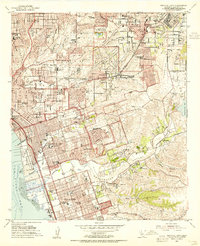 1953 National City1955 Print · USGSThe South Bay region of San Diego comes alive in the early fifties as coastal cities expand toward the inland canyons. Genealogists and historians can trace neighborhood growth through sites like Lincoln Acres, Glenn Abbey Cemetery, and the National City Airport.2 unique versions available
 - 1953 Map of Point Loma, 1955 Print
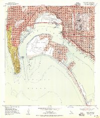 1953 Point Loma1955 Print · USGSMid-century San Diego and Coronado reveal a landscape deeply integrated with military and aviation history, showing the region as it transitioned into a major naval hub. Genealogists and historians can trace the development of Ocean Beach, the layout of Lindbergh Field, and schools like Sacred Heart Academy.
 - 1954 Map of San Diego
 1954 San Diego1954 Print · USGSSan Diego and the northern reaches of Baja California are captured here during a decade of rapid post-war growth and military expansion. Researchers can trace the mid-century shoreline of Mission Beach, find established tribal lands like Capitan Grande Indian Reservation, and follow the border crossing into Tijuana.
 - 1955 Map of San Diego
 1955 San Diego1955 Print · USGSSouthern California underwent massive growth in the post-war years, as suburban development pushed into the canyons and foothills. Researchers can trace the mid-century infrastructure of Lindbergh Field, the Otay River, and numerous sites like Lemon Grove.
 - 1958 Map of San Diego, 1961 Print
 1958 San Diego1961 Print · USGSSan Diego and its inland mountain ranges are captured here in the late fifties as coastal suburbs began to climb the mesas. Researchers can trace the mid-century footprint of Miramar Naval Air Station, the winding San Diego & Arizona Eastern Ry, and local landmarks like Cabrillo Nat Mon.4 unique versions available
 - 1967 Map of Point Loma
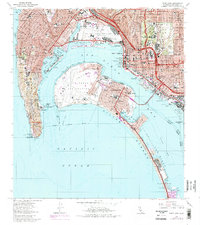 1967 Point Loma1967 Print · USGSSan Diego and Coronado during the late sixties show a landscape defined by naval power and rapid urban growth. Trace the development of Balboa Park, the legacy of Fort Rosecrans National Cemetery, and the era's new San Diego-Coronado Bay Bridge.5 unique versions available
 - 1967 Map of National City, 1970 Print
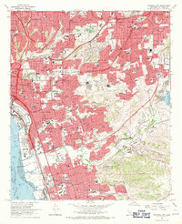 1967 National City1970 Print · USGSThe South Bay region of San Diego undergoes rapid suburbanization in the late sixties as new freeways bridge the coastal mesas. Genealogists and historians can trace the development of Lincoln Acres and Chula Vista or locate landmarks like La Vista Cem and the Naval Radio Sta.3 unique versions available
 - 1967 Map of Imperial Beach, 1970 Print
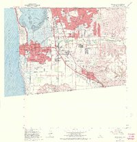 1967 Imperial Beach1970 Print · USGSThe South Bay region during the late sixties shows a landscape of growing suburbs and military installations along the Pacific. Researchers can trace the development of Chula Vista neighborhoods and find sites like the Border Patrol Headquarters and Mt Olivet Cem.
 - 1967 Map of Imperial Beach, 1977 Print
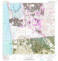 1967 Imperial Beach1977 Print · USGSThe South Bay and international border come alive in this mid-century survey, documenting the growth of Imperial Beach and Chula Vista. Trace the path of the S D & A E RR, locate Mt Olivet Cem, or examine the Salt Evaporators at the bay's edge.
 - 1979 Map of San Diego, 1980 Print
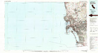 1979 San Diego1980 Print · USGSSan Diego and the southern California coastline are shown in the late seventies as the region's modern layout became firmly established. Researchers can trace the extensive military footprint at Miramar and find local landmarks from Cabrillo National Monument to Mission Bay Park.3 unique versions available
 - 1996 Map of Point Loma, 2001 Print
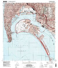 1996 Point Loma2001 Print · USGSSan Diego and Coronado are shown here in the mid-nineties, capturing a landscape defined by massive naval installations and coastal neighborhoods. Researchers can trace the layout of Naval Air Station North Island, Balboa Park, and schools like Collier Jr High Sch.
 - 1996 Map of National City, 2001 Print
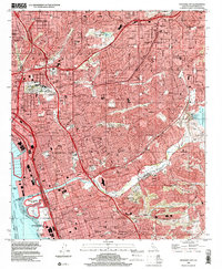 1996 National City2001 Print · USGSThe South Bay and San Diego's eastern suburbs are captured here during a period of peak urban development. Researchers can trace neighborhood growth through Lincoln Acres and Bonita or find family landmarks like Mount Hope Cemetery.
 - 1996 Map of Imperial Beach, 2002 Print
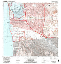 1996 Imperial Beach2002 Print · USGSCoastal San Diego County at the turn of the millennium shows a bustling borderland where intense suburban growth meets protected Pacific estuaries. Genealogists and historians can locate residential landmarks like Mt Olivet Cem, trace the route of the San Diego and Arizona Eastern RR, and study the massive Salt Evaporators on the bay.
 - 2012 Map of Point Loma, 2012 Print
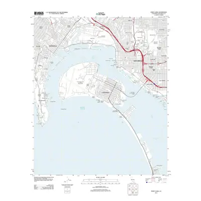 2012 Point Loma2012 Print · USGSSan Diego and its surrounding coastal communities are shown here just after the first decade of the millennium. Researchers can trace the military history of Fort Rosecrans National Cem or explore the urban layouts of Barrio Logan and Hillcrest.
 - 2012 Map of Imperial Beach, 2012 Print
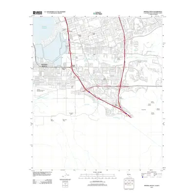 2012 Imperial Beach2012 Print · USGSThe South Bay region of San Diego comes into focus during this era of modern expansion near the international border. Researchers can trace the development of Imperial Beach alongside established neighborhoods like Nestor and the military grounds of Ream Field.
 - 2012 Map of Imperial Beach OE W, 2012 Print
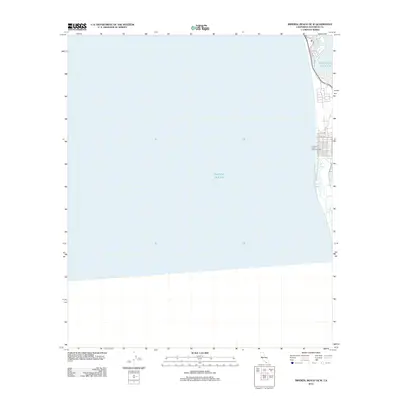 2012 Imperial Beach OE W2012 Print · USGSCoastal California in the early twenty-first century is seen here where the city meets the sea. Researchers can trace the waterfront layout near the Imperial Beach Municipal Pier and the natural reach of the Oneonta Slough.
 - 2012 Map of National City, 2012 Print
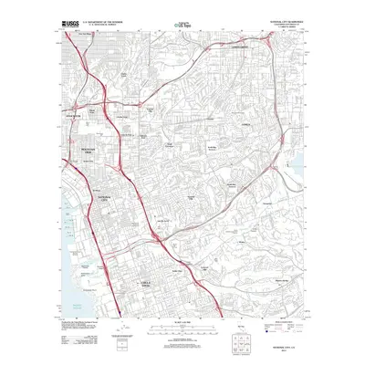 2012 National City2012 Print · USGSThe San Diego coast near National City and Chula Vista is shown here during a period of intense urban density and infrastructure. Genealogists can locate several major burial grounds including Holy Cross Cem and La Vista Cem, or trace the path of the Second San Diego Aqueduct.
Showing maps 1-25 of 37
Top cities near Coronado
- San Diego historical maps
- Chula Vista historical maps
- El Cajon historical maps
- La Mesa historical maps
- Santee historical maps
- National City historical maps
See more
Top neighborhoods of Coronado
Frequently asked questions
- What are the different types of historical maps available for Coronado?
- What is the oldest map of Coronado?
- Where can I purchase historical maps of Coronado for my home or office?
- Where can I download high-res historical maps of Coronado?
- Are there historical topographic maps available for Coronado?
- Is there historical aerial imagery available for Coronado?
- Where are historical maps of Coronado sourced from?