Old Maps of Lemon Grove, California for Hiking & Exploration
Hike through history with 27 historic maps of Lemon Grove. Explore old trails, ghost towns, and forgotten backroads — perfect for outdoor adventurers and local explorers.
- Rediscover forgotten places: Map out old mining camps, roads, and footpaths that no longer exist on modern maps.
- Layer with modern tools: Combine with LiDAR or satellite views to plan hikes through historical terrain.
- Made for exploration: Popular among hikers, overlanders, and local history lovers.
Use these maps to find adventure and explore the hidden past of Lemon Grove.
Lemon Grove, CA maps
(27)- 1903 Map of La Jolla
 1903 La Jolla1903 Print · USGSCoastal San Diego at the turn of the century shows a landscape of deep canyons and emerging rail towns before the rapid expansion of the modern city. Genealogists and historians can trace early settlements like Old Town, Pacific Beach, and the inland community of Poway along the Southern California R. R.9 unique versions available
 - 1904 Map of San Diego
 1904 San Diego1904 Print · USGSSan Diego and its harbor are captured here in the early twentieth century, showing a coastal landscape defined by ranchos and early rail lines. Researchers can trace the development of National City, locate the original grounds of Ft. Rosecrans, and see the early layout of Chulavista.9 unique versions available
 - 1904 Map of Southern California Sheet No. 2
 1904 Southern California Sheet No. 21904 Print · USGSSouthern California during the early 1900s shows the transition from vast ranchos to coastal rail towns. Genealogists and researchers can trace the Southern California R.R. through Oceanside, explore old land grants like Mission Viejo, and locate early settlements from Fallbrook to Julian.5 unique versions available
 - 1930 Map of La Jolla, 1955 Print
 1930 La Jolla1955 Print · USGSCoastal San Diego was undergoing a rapid transformation in the early 1930s as military footprints and rail lines reshaped the landscape. Researchers can trace the early development of La Jolla and Pacific Beach or locate old sites like Camp Kearney and Merton.2 unique versions available
 - 1930 Map of San Diego, 1960 Print
 1930 San Diego1960 Print · USGSSan Diego and its southern coastal towns appear here at the dawn of the aviation era, showing a landscape defined by naval expansion and ranchos. Trace the early layout of Lindbergh Airport, the military works at Point Loma, and the rails connecting Chula Vista to the United States Mexico border.
 - 1942 Map of La Mesa
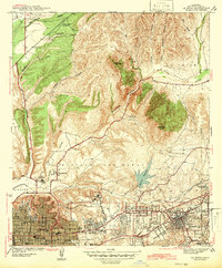 1942 La Mesa1942 Print · USGSSan Diego and La Mesa appear here in the early 1940s, showing a landscape of growing residential neighborhoods and rugged canyon terrain. Genealogists and historians can trace numerous early schools like Hoover High Sch, the grounds of State College, and the historic Mission San Diego.
 - 1944 Map of National City
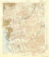 1944 National City1944 Print · USGSPost-war San Diego County comes alive in this survey of the South Bay and its inland valleys. Genealogists and historians can trace family plots at Holy Cross Cem, the growth of Lincoln Acres, or the operations of the Chollas Heights Naval Radio Sta.
 - 1947 Map of La Mesa
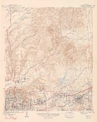 1947 La Mesa1947 Print · USGSSan Diego's eastern suburbs were rapidly expanding in the late 1930s and 1940s as residential blocks pushed toward the foothills. Trace the early development of Normal Hts and State College alongside landmarks like the Murray Reservoir and Grantville.2 unique versions available
 - 1950 Map of San Diego, 1954 Print
 1950 San Diego1954 Print · USGSCoastal San Diego and the Baja California border region come alive in this mid-century survey. Trace the early layout of National City and Chula Vista, or locate historic landmarks like the San Diego and Arizona Eastern RR and Fort Rosecrans.
 - 1953 Map of La Mesa, 1955 Print
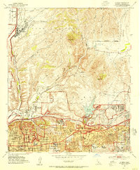 1953 La Mesa1955 Print · USGSThe eastern edge of San Diego and La Mesa are captured during a period of mid-century suburban expansion. Genealogists and local historians can trace neighborhood growth through San Diego State College and local schools like Hoover High Sch.3 unique versions available
 - 1953 Map of National City, 1955 Print
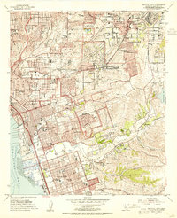 1953 National City1955 Print · USGSThe South Bay region of San Diego comes alive in the early fifties as coastal cities expand toward the inland canyons. Genealogists and historians can trace neighborhood growth through sites like Lincoln Acres, Glenn Abbey Cemetery, and the National City Airport.2 unique versions available
 - 1954 Map of San Diego
 1954 San Diego1954 Print · USGSSan Diego and the northern reaches of Baja California are captured here during a decade of rapid post-war growth and military expansion. Researchers can trace the mid-century shoreline of Mission Beach, find established tribal lands like Capitan Grande Indian Reservation, and follow the border crossing into Tijuana.
 - 1955 Map of San Diego
 1955 San Diego1955 Print · USGSSouthern California underwent massive growth in the post-war years, as suburban development pushed into the canyons and foothills. Researchers can trace the mid-century infrastructure of Lindbergh Field, the Otay River, and numerous sites like Lemon Grove.
 - 1958 Map of San Diego, 1961 Print
 1958 San Diego1961 Print · USGSSan Diego and its inland mountain ranges are captured here in the late fifties as coastal suburbs began to climb the mesas. Researchers can trace the mid-century footprint of Miramar Naval Air Station, the winding San Diego & Arizona Eastern Ry, and local landmarks like Cabrillo Nat Mon.4 unique versions available
 - 1967 Map of La Mesa, 1969 Print
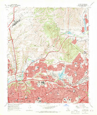 1967 La Mesa1969 Print · USGSSan Diego and La Mesa expand rapidly into the canyons and mesas during the late sixties. Genealogists and historians can locate dozens of neighborhood schools, the newly built San Diego Stadium, and the historic Mission San Diego de Alcala.4 unique versions available
 - 1967 Map of National City, 1970 Print
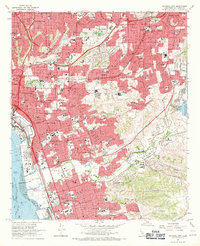 1967 National City1970 Print · USGSThe South Bay region of San Diego undergoes rapid suburbanization in the late sixties as new freeways bridge the coastal mesas. Genealogists and historians can trace the development of Lincoln Acres and Chula Vista or locate landmarks like La Vista Cem and the Naval Radio Sta.3 unique versions available
 - 1979 Map of San Diego, 1980 Print
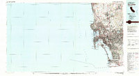 1979 San Diego1980 Print · USGSSan Diego and the southern California coastline are shown in the late seventies as the region's modern layout became firmly established. Researchers can trace the extensive military footprint at Miramar and find local landmarks from Cabrillo National Monument to Mission Bay Park.3 unique versions available
 - 1994 Map of La Mesa, 1998 Print
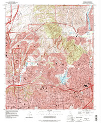 1994 La Mesa1998 Print · USGSSan Diego and La Mesa undergo significant mid-century suburban expansion as military and educational institutions anchor the landscape. Trace local development near San Diego State University, the historic Mission San Diego de Alcala, and Lake Murray.
 - 1996 Map of National City, 2001 Print
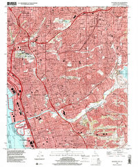 1996 National City2001 Print · USGSThe South Bay and San Diego's eastern suburbs are captured here during a period of peak urban development. Researchers can trace neighborhood growth through Lincoln Acres and Bonita or find family landmarks like Mount Hope Cemetery.
 - 2012 Map of La Mesa, 2012 Print
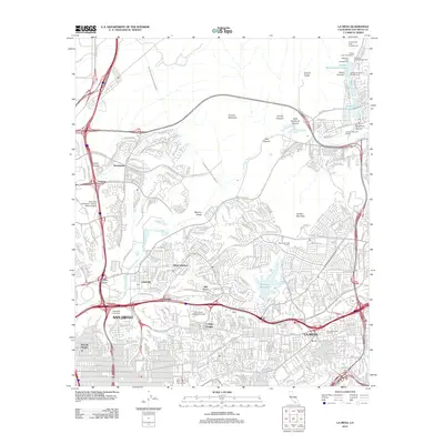 2012 La Mesa2012 Print · USGSSan Diego and La Mesa are shown in the early twenty-first century, defined by a complex intersection of canyon terrain and suburban growth. Researchers can trace the development of College Heights, locate San Diego State University, and follow the Second San Diego Aqueduct through the hills.
 - 2012 Map of National City, 2012 Print
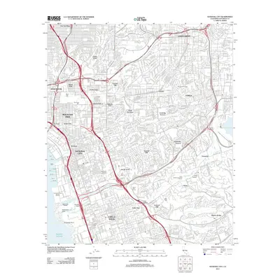 2012 National City2012 Print · USGSThe San Diego coast near National City and Chula Vista is shown here during a period of intense urban density and infrastructure. Genealogists can locate several major burial grounds including Holy Cross Cem and La Vista Cem, or trace the path of the Second San Diego Aqueduct.
 - 2015 Map of National City, 2015 Print
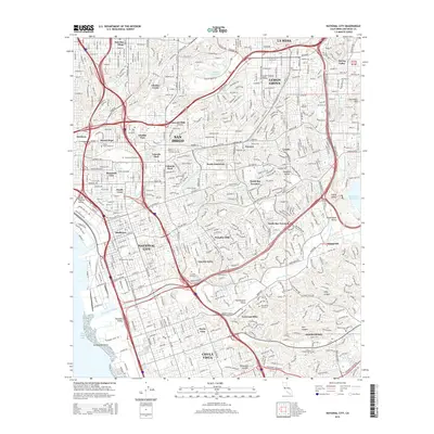 2015 National City2015 Print · USGSSoutheastern San Diego and National City appear in the mid-2010s as a dense network of suburban neighborhoods and major memorial parks. Researchers can trace land use through the sprawling Mount Hope Cemetery or locate landmarks like Dictionary Hill and the Sweetwater Reservoir.
 - 2015 Map of La Mesa, 2015 Print
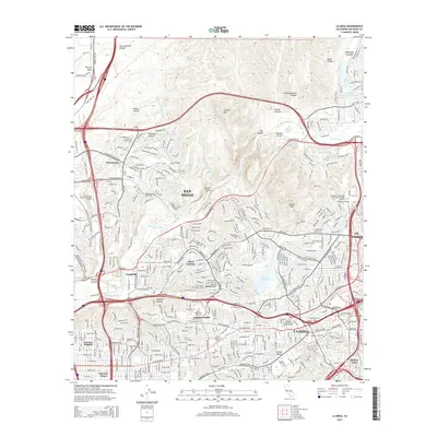 2015 La Mesa2015 Print · USGSEastern San Diego and La Mesa are shown in the mid-2010s as a fully realized landscape of canyon-rim neighborhoods and major educational hubs. Researchers can trace the development of Allied Gardens, find the location of San Diego State University, and follow the San Diego River through Mission Gorge.
 - 2018 Map of La Mesa, 2018 Print
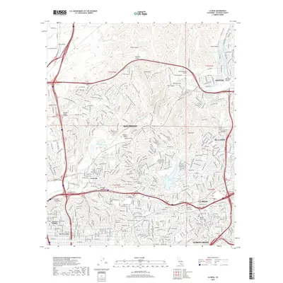 2018 La Mesa2018 Print · USGSSan Diego and its eastern neighbors are shown in the late 2010s during a period of dense suburban maturity and preserved canyon lands. Researchers can trace the modern limits of Grantville and Normal Heights or locate landmarks like Murray Reservoir and San Diego State Univ.
 - 2018 Map of National City, 2018 Print
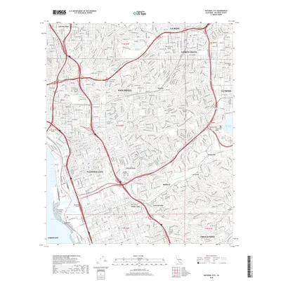 2018 National City2018 Print · USGSNational City and South San Diego County are shown here in the late twenty-teens, highlighting a landscape of dense suburban growth and massive memorial grounds. Researchers can trace family history through sites like Holy Cross Cem and Lincoln Acres or follow the Sweetwater River to the bay.
Showing maps 1-25 of 27
Top cities near Lemon Grove
- San Diego historical maps
- Chula Vista historical maps
- El Cajon historical maps
- La Mesa historical maps
- Santee historical maps
- National City historical maps
See more
Frequently asked questions
- What are the different types of historical maps available for Lemon Grove?
- What is the oldest map of Lemon Grove?
- Where can I purchase historical maps of Lemon Grove for my home or office?
- Where can I download high-res historical maps of Lemon Grove?
- Are there historical topographic maps available for Lemon Grove?
- Is there historical aerial imagery available for Lemon Grove?
- Where are historical maps of Lemon Grove sourced from?