Old Maps of San Onofre, Marine Corps Base Camp Pendleton for Genealogy
Trace your family roots with 19 historic maps of San Onofre. These high-res maps reveal old neighborhoods, homesites, landmarks, and streets — helping you uncover where your ancestors lived and how the area evolved over time.
- Explore historic neighborhoods: Identify where your relatives may have lived in the 1800s or 1900s.
- Compare maps over time: Trace the changes in streets, buildings, and landmarks for multi-generational research.
- Perfect for genealogy & ancestry research: Used by family historians and researchers to map out lineage and migration.
These maps are an incredible resource for exploring your personal connection to San Onofre's past.
San Onofre, Marine Corps Base Camp Pendleton maps
(19)- 1902 Map of Capistrano
 1902 Capistrano1902 Print · USGSThe Orange County coast and its expansive ranchos are captured here just before the twentieth century's rapid changes. Researchers can trace the early Southern California rail line past Capistrano and explore old canyon routes like Cristianitos.4 unique versions available
 - 1904 Map of Southern California Sheet No. 2
 1904 Southern California Sheet No. 21904 Print · USGSSouthern California during the early 1900s shows the transition from vast ranchos to coastal rail towns. Genealogists and researchers can trace the Southern California R.R. through Oceanside, explore old land grants like Mission Viejo, and locate early settlements from Fallbrook to Julian.5 unique versions available
 - 1906 Map of Capistrano, 1921 Print
 1906 Capistrano1921 Print · USGSThe Orange and San Diego county borderlands appear here just before the turn of the century, when large land grants still defined the coast. You can trace the Southern California railroad line through San Juan down to the remote shores of San Onofre.
 - 1942 Map of San Juan Capistrano
 1942 San Juan Capistrano1942 Print · USGSCoastal Orange and San Diego counties are captured here in the early 1940s as the classic California beach towns began to take shape. Genealogists and local historians can trace early settlements and transit hubs from San Juan Capistrano to the Villa Auto Camp and the CCC Camp near San Clemente.
 - 1947 Map of Santa Ana, 1949 Print
 1947 Santa Ana1949 Print · USGSSouthern California is depicted here in the late forties, showing the expansion of the Inland Empire and the Orange County coast. Researchers can trace the early layout of Palm Springs or locate long-standing tribal lands like the Pala Indian Reservation and Rincon Indian Res.
 - 1948 Map of San Clemente, 1958 Print
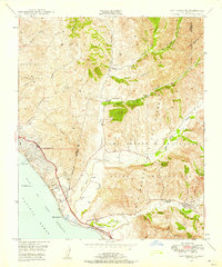 1948 San Clemente1958 Print · USGSThe Orange and San Diego county line met a rapidly changing landscape in the late 1940s as coastal development sat beside military expansion. Researchers can trace the early streets of San Clemente, the path of the Coast Highway, and the expansive Camp Joseph H Pendleton Naval Reservation.2 unique versions available
 - 1949 Map of San Clemente
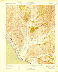 1949 San Clemente1949 Print · USGSThe Orange and San Diego County line met at the Pacific shore in the late 1940s, just as this coastal region began its post-war transformation. Researchers can trace the early city streets of San Clemente, the path of the Atchison Topeka and Santa Fe, and the expansive Mission Viejo territory.
 - 1949 Map of Santa Ana
 1949 Santa Ana1949 Print · USGSSouthern California underwent a profound transformation in the late 1940s as military installations and citrus groves shared the landscape. Researchers can trace early coastal growth at Laguna Beach, military history at Camp Pendleton, and the rail corridors of the Pacific Electric.
 - 1956 Map of Santa Ana
 1956 Santa Ana1956 Print · USGSSouthern California underwent massive mid-century transformation as suburban growth met major military and water projects. Trace the postwar expansion of Santa Ana and Riverside, the layout of Camp Pendleton, and the path of the Colorado River Aqueduct.
 - 1959 Map of Santa Ana, 1971 Print
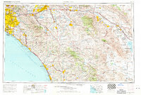 1959 Santa Ana1971 Print · USGSSouthern California is captured in a decade of transformation, from the Orange County coast to the desert floor. Researchers can trace the mid-century footprints of Camp Pendleton, March Air Force Base, and the original Ortega Highway.3 unique versions available
 - 1960 Map of Santa Ana
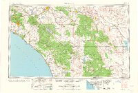 1960 Santa Ana1960 Print · USGSSouthern California's coastal plains and inland deserts meet in this mid-century survey of the burgeoning Orange and Riverside county corridors. Researchers can trace the layout of early freeway systems, find tribal lands like the Soboba Indian Reservation, and locate military landmarks such as March Field.2 unique versions available
 - 1965 Map of Santa Ana
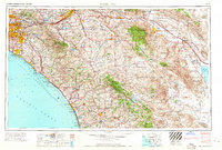 1965 Santa Ana1965 Print · USGSSouthern California is captured in a decade of rapid growth, showing the coastal expansion from Santa Ana down to Oceanside. Genealogists and historians can trace the mid-century development of places like Garden Grove or the rural reaches of Escondido and the Palomar Observatory.
 - 1968 Map of San Clemente, 1970 Print
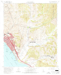 1968 San Clemente1970 Print · USGSThe Orange and San Diego County borderlands meet in the late sixties, where coastal development joins the sprawling Camp Pendleton Marine Corps Base. Genealogists and local historians can trace the early layout of San Clemente schools like Hanson Sch or find the Cristianitos Historic Site tucked within the inland canyons.3 unique versions available
 - 1974 Map of San Clemente, 1975 Print
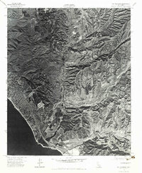 1974 San Clemente1975 Print · USGSCoastal Orange County meets the sprawling training grounds of the Marines in the mid-seventies. Researchers can trace the rugged topography of Gabino Canyon and the coastal interface at Camp Pendleton Marine Corps Base.2 unique versions available
 - 1982 Map of Oceanside, 1983 Print
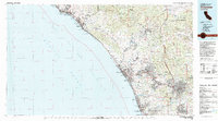 1982 Oceanside1983 Print · USGSCoastal San Diego and Orange counties are captured here in the early eighties, showing the transition from mid-century beach towns to modern suburban hubs. Genealogists and local historians can trace the Atchison Topeka and Santa Fe rail line through Cardiff-by-the-Sea or locate early developments near Lake Hodges.2 unique versions available
 - 2012 Map of San Clemente, 2012 Print
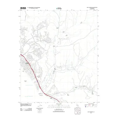 2012 San Clemente2012 Print · USGSCoastal Orange County at the start of the 2010s shows the dense residential grids of San Clemente meeting the open terrain of the Santa Ana foothills. Local historians can trace the canyons of San Mateo Canyon and landmarks like the San Clemente Pier and Trestles Beach.
 - 2015 Map of San Clemente, 2015 Print
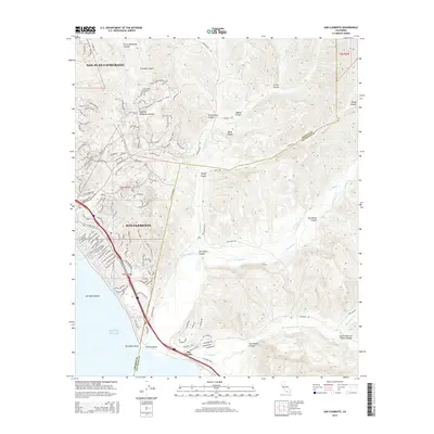 2015 San Clemente2015 Print · USGSCoastal Orange County meets the rugged canyon lands of San Diego County in this detailed mid-2010s survey. Genealogists and local historians can trace the street-level development of San Clemente while locating landmarks like Trestles Beach and the headlands at San Mateo Point.
 - 2018 Map of San Clemente, 2018 Print
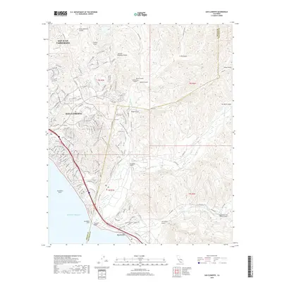 2018 San Clemente2018 Print · USGSThe Orange County coast and the San Diego border come into focus in the late 2010s, showing the dense suburban expansion into the coastal hills. Researchers can trace the path of the Metrolink through San Clemente or explore the rugged canyons of San Mateo Cr and San Onofre Cr.
 - 2022 Map of San Clemente, 2022 Print
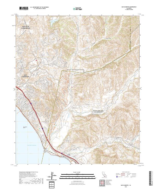 2022 San Clemente2022 Print · USGSThe Orange and San Diego County line comes into focus in this recent survey of the Southern California coast. Trace the suburban development of San Clemente out toward the natural drainages of San Mateo Canyon and the shores of Trestles Beach.
End of results
Showing maps 1-19 of 19
Top cities near San Onofre
- Irvine historical maps
- Oceanside historical maps
- Carlsbad historical maps
- Mission Viejo historical maps
- Newport Beach historical maps
- San Clemente historical maps
See more
Frequently asked questions
- What are the different types of historical maps available for San Onofre?
- What is the oldest map of San Onofre?
- Where can I purchase historical maps of San Onofre for my home or office?
- Where can I download high-res historical maps of San Onofre?
- Are there historical topographic maps available for San Onofre?
- Is there historical aerial imagery available for San Onofre?
- Where are historical maps of San Onofre sourced from?