Old Maps of Grover Beach, California for Genealogy
Trace your family roots with 32 historic maps of Grover Beach. These high-res maps reveal old neighborhoods, homesites, landmarks, and streets — helping you uncover where your ancestors lived and how the area evolved over time.
- Explore historic neighborhoods: Identify where your relatives may have lived in the 1800s or 1900s.
- Compare maps over time: Trace the changes in streets, buildings, and landmarks for multi-generational research.
- Perfect for genealogy & ancestry research: Used by family historians and researchers to map out lineage and migration.
These maps are an incredible resource for exploring your personal connection to Grover Beach's past.
Grover Beach, CA maps
(32)- 1897 Map of Arroyo Grande, 1903 Print
 1897 Arroyo Grande1903 Print · USGSCoastal San Luis Obispo County comes alive in the late nineteenth century as the railroad transforms old ranchos into bustling seaside towns. You can trace early industrial sites like the Asphalt Mines or locate historic coastal points such as Mallagh Landing and Sycamore Springs.5 unique versions available
 - 1900 Map of San Luis
 1900 San Luis1900 Print · USGSCoastal California at the turn of the century shows a landscape where rail lines like the Pacific Coast Ry met the sea. Trace early industrial sites like the Asphalt Mines or follow the coast from Morro Rock to the pier at Port Harford.4 unique versions available
 - 1942 Map of Arroyo Grande
 1942 Arroyo Grande1942 Print · USGSThe San Luis Obispo coastline and the fertile Cienega Valley are shown here in the early 1940s, as steam and narrow-gage rails still shaped the local economy. Genealogists can locate vanished schools like Belleview Sch and trace the paths of the Pacific Coast Railway and Southern Pacific Railroad through Oceano and Edna.3 unique versions available
 - 1947 Map of San Luis Obispo, 1948 Print
 1947 San Luis Obispo1948 Print · USGSCoastal California at the dawn of the Cold War reveals a landscape of massive military reservations and quiet seaside towns. Genealogists and researchers can trace the Southern Pacific rail line, old mining sites like Los Burros Mine, and local landmarks from Point Buchon to the Carrizo Plain.
 - 1948 Map of San Luis Obispo
 1948 San Luis Obispo1948 Print · USGSCentral Coast life in the late 1940s is centered on the Southern Pacific rail line and expanding military bases. Genealogists can trace early rural life through Union School and local operations like the Klau Mine or Buena Vista Mine.
 - 1952 Map of Arroyo Grande, 1953 Print
 1952 Arroyo Grande1953 Print · USGSThe Central Coast comes alive in the early fifties as coastal tourism and inland agriculture thrive side-by-side. Genealogists and historians can trace the Southern Pacific RR corridor through Grover City, locate family landmarks like Branch School, or study the Sand Dunes and lakes around Oceano.3 unique versions available
 - 1956 Map of San Luis Obispo, 1963 Print
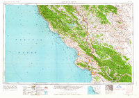 1956 San Luis Obispo1963 Print · USGSCentral California coastal and valley life unfolds in the mid-fifties, from the shoreline of Pismo Beach to the arid Carrizo Plain. Trace early travel routes along the Southern Pacific RR or locate family sites near the Templeton Cemetery and Paso Robles County Cemetery.5 unique versions available
 - 1957 Map of San Luis Obispo
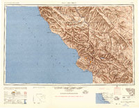 1957 San Luis Obispo1957 Print · USGSCoastal California in the late fifties is defined by the steep Santa Lucia Range and the rail-connected hub of San Luis Obispo. Genealogists and researchers can trace rural life via Union School, the Southern Pacific line, and old sites like the Polar Star Mine.
 - 1958 Map of San Luis Obispo
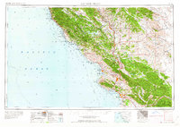 1958 San Luis Obispo1958 Print · USGSThe Central Coast in the late fifties reveals a landscape of ranching and early tourism before the massive expansion of the modern era. Trace the path of the Southern Pacific through Atascadero or locate family roots in coastal towns like Cayucos and Cambria.
 - 1965 Map of Oceano, 1966 Print
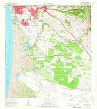 1965 Oceano1966 Print · USGSThe coastal dunes and agricultural mesas of San Luis Obispo County are captured here in the mid-sixties during a period of industrial and residential growth. Genealogists and historians can trace the rail-side infrastructure of Callender, including an oil refinery, or locate family sites in Grover City and Halcyon.2 unique versions available
 - 1965 Map of Arroyo Grande NE, 1967 Print
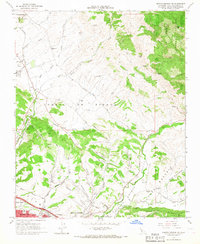 1965 Arroyo Grande NE1967 Print · USGSThe Central Coast hinterlands near Edna were a hub of rail activity and oil production in the mid-sixties. Genealogists and local historians can trace the foundations of the community through several local schools, the Southern Pacific corridor, and the Arroyo Grande Oil Field.6 unique versions available
 - 1965 Map of Pismo Beach, 1967 Print
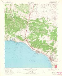 1965 Pismo Beach1967 Print · USGSThe Central Coast is documented during the mid-1960s as the seaside towns of the San Luis Obispo Bay began to expand. Genealogists and local historians can trace family-named sites like Squire Canyon and Gragg Canyon or locate early landmarks like Ontario Hot Springs and the Southern Pacific line.4 unique versions available
 - 1979 Map of Oceano
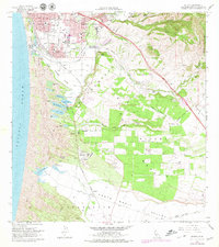 1979 Oceano1979 Print · USGSThe Central Coast landscape transitioned from quiet dunes to industrial and suburban growth in the late seventies. Researchers can trace the Southern Pacific rail infrastructure through Oceano and past the Oil Refinery and Coke Ovens at Callender.
 - 1981 Map of San Luis Obispo
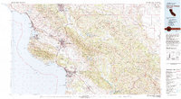 1981 San Luis Obispo1981 Print · USGSThe Central Coast comes alive in the early eighties as the Southern Pacific railroad connects growing coastal towns and rugged inland ranges. Researchers can trace land grants like Santa Manuela, locate Cem sites, and explore the footprint of California Polytechnic State University.3 unique versions available
 - 1995 Map of Arroyo Grande NE, 2000 Print
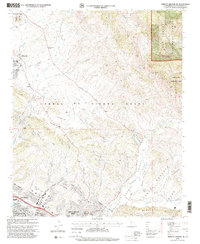 1995 Arroyo Grande NE2000 Print · USGSThe San Luis Obispo coastline and its inland canyons come into focus in the mid-1990s as suburban growth reaches the edge of historic land grants. Genealogists and local historians can trace school sites like Independence School and Brauch School, or the boundaries of the Santa Manuela Grant.
 - 1998 Map of Pismo Beach, 2002 Print
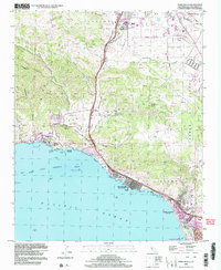 1998 Pismo Beach2002 Print · USGSThe Central California coast near the end of the century shows a unique balance of rugged canyons and expanding seaside towns. Researchers can trace the development of Pismo Beach and Avila Beach, or locate landmarks like the County Wharf and the Pismo Lake Ecological Reserve.
 - 2012 Map of Oceano OE W, 2012 Print
 2012 Oceano OE W2012 Print · USGSThe San Luis Obispo coastline comes into sharp focus during the early twenty-first century as recreation and valley agriculture meet the sea. Local historians can trace the borders of Oceano Beach, the Oceano Campground, and the greens of Le Sage Riviera Golf Course.
 - 2012 Map of Oceano, 2012 Print
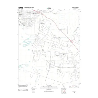 2012 Oceano2012 Print · USGSCoastal San Luis Obispo County thrives here in the early 2010s, where the Pacific dunes meet established communities like Arroyo Grande. You can trace the inland transition from Oceano County Airport to the historic Halcyon Cem and the lakes of Callender Dunes.
 - 2012 Map of Pismo Beach, 2012 Print
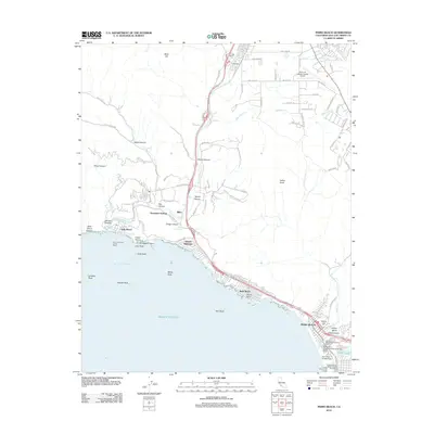 2012 Pismo Beach2012 Print · USGSThe Central California coast near Avila Beach and Pismo Beach is shown here in its modern 21st-century detail. Trace the development of waterfront communities and find coastal landmarks like Smugglers Cave, Ontario Hot Springs, and the San Luis Obispo County Wharf.
 - 2012 Map of Arroyo Grande NE, 2012 Print
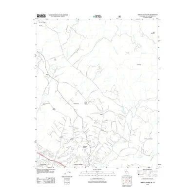 2012 Arroyo Grande NE2012 Print · USGSCoastal California viticulture and energy extraction meet in the hills above Arroyo Grande during the early 21st century. Researchers can trace the footprints of the Arroyo Grande Oil Field or locate established estates like Edna Valley Winery and Corbett Canyon Vineyard.
 - 2015 Map of Oceano OE W, 2015 Print
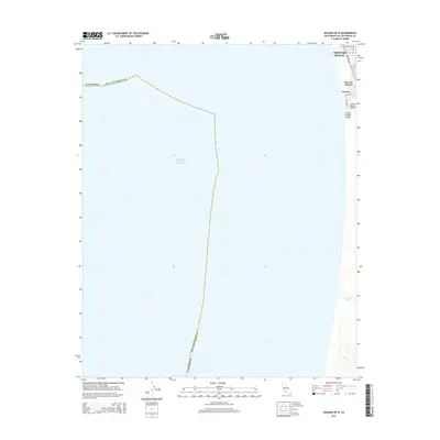 2015 Oceano OE W2015 Print · USGSThe Central Coast shoreline comes into focus in the mid-2010s, capturing the residential and aviation footprints of southern San Luis Obispo County. Local historians can trace the street grids of Grover Beach and Oceano alongside the Oceano County Airport and Oso Flaco Lake.
 - 2015 Map of Arroyo Grande NE, 2015 Print
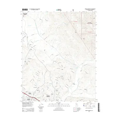 2015 Arroyo Grande NE2015 Print · USGSThe Central Coast of California comes alive in this survey of the valley and canyon lands surrounding the coastal hills. Genealogists and researchers can trace the development of Arroyo Grande and Pismo Beach alongside rural locales like Edna and Verde.
 - 2015 Map of Oceano, 2015 Print
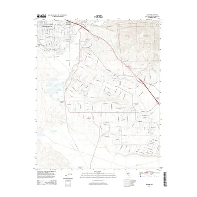 2015 Oceano2015 Print · USGSCoastal San Luis Obispo County is shown here in the mid-2010s, capturing the suburban development and agricultural valleys near the Pacific. Genealogists and local historians can trace the street networks of Grover Beach or locate regional landmarks like the Oceano County Airport and Oso Flaco Lake.
 - 2015 Map of Pismo Beach, 2015 Print
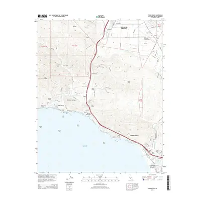 2015 Pismo Beach2015 Print · USGSThe Central California coast is shown in high detail during the mid-2010s, from the city of San Luis Obispo down to the shoreline. Trace local landmarks like San Luis County Regional Airport, the waters of Pismo Lake, and coastal features like Smugglers Cave.
 - 2018 Map of Arroyo Grande NE, 2018 Print
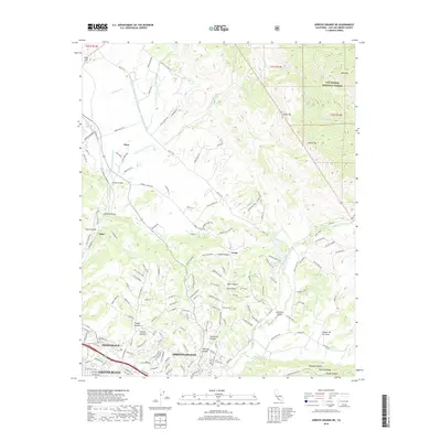 2018 Arroyo Grande NE2018 Print · USGSSan Luis Obispo County in the late 2010s shows a landscape of growing coastal communities and agricultural canyon lands. Genealogists and hikers can trace property lines and trails around Edna, Verde, and the expansive Los Padres National Forest.
Showing maps 1-25 of 32
Top cities near Grover Beach
- Santa Maria historical maps
- San Luis Obispo historical maps
- Arroyo Grande historical maps
- Pismo Beach historical maps
- Oceano historical maps
- Guadalupe historical maps
See more
Frequently asked questions
- What are the different types of historical maps available for Grover Beach?
- What is the oldest map of Grover Beach?
- Where can I purchase historical maps of Grover Beach for my home or office?
- Where can I download high-res historical maps of Grover Beach?
- Are there historical topographic maps available for Grover Beach?
- Is there historical aerial imagery available for Grover Beach?
- Where are historical maps of Grover Beach sourced from?