2000s (21st Century) Maps of San Luis Obispo, California
Explore 16 historic maps of San Luis Obispo from the 2000s (21st Century). These maps offer a rare glimpse into what life looked like during the 2000s — showing old roads, neighborhoods, homes, and landmarks that have changed or disappeared over time.
Whether you're researching your family's past, planning a metal detecting trip, or studying how San Luis Obispo's landscape evolved across the 2000s, these high-resolution maps are a powerful tool for exploring the history of this region.
- Focus on a specific era: All maps on this page are from the 2000s, giving you a focused view of this time period.
- See what’s changed: Compare century-old streets, trails, and buildings to today's modern landscape using overlays and satellite layers.
- Research with precision: Use these maps for genealogy, historical research, land use analysis, or educational projects.
- View, download, or print: Maps are fully viewable online in high resolution, and can be downloaded or printed for your own records.
Start exploring San Luis Obispo's history through authentic maps from the 2000s. This is your window into the past.
San Luis Obispo, CA maps
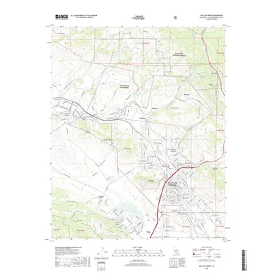
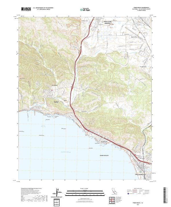
(16)- 2012 Map of Pismo Beach, 2012 Print
 2012 Pismo Beach2012 Print · USGSCovers San Luis Obispo, including Grover Beach, Pismo Beach, and other nearby areas
 - 2012 Map of Arroyo Grande NE, 2012 Print
 2012 Arroyo Grande NE2012 Print · USGSCovers San Luis Obispo, including Arroyo Grande, Grover Beach, and other nearby areas
 - 2012 Map of Lopez Mountain, 2012 Print
 2012 Lopez Mountain2012 Print · USGSCovers San Luis Obispo, including San Luis Obispo County, United States, and other nearby areas
 - 2012 Map of San Luis Obispo, 2012 Print
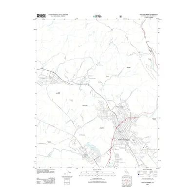 2012 San Luis Obispo2012 Print · USGSCovers San Luis Obispo, including San Luis Obispo County, United States, and other nearby areas
 - 2015 Map of San Luis Obispo, 2015 Print
 2015 San Luis Obispo2015 Print · USGSCovers San Luis Obispo, including San Luis Obispo County, United States, and other nearby areas
 - 2015 Map of Lopez Mountain, 2015 Print
 2015 Lopez Mountain2015 Print · USGSCovers San Luis Obispo, including San Luis Obispo County, United States, and other nearby areas
 - 2015 Map of Arroyo Grande NE, 2015 Print
 2015 Arroyo Grande NE2015 Print · USGSCovers San Luis Obispo, including Arroyo Grande, Grover Beach, and other nearby areas
 - 2015 Map of Pismo Beach, 2015 Print
 2015 Pismo Beach2015 Print · USGSCovers San Luis Obispo, including Grover Beach, Pismo Beach, and other nearby areas
 - 2018 Map of Lopez Mountain, 2018 Print
 2018 Lopez Mountain2018 Print · USGSCovers San Luis Obispo, including San Luis Obispo County, United States, and other nearby areas
 - 2018 Map of Arroyo Grande NE, 2018 Print
 2018 Arroyo Grande NE2018 Print · USGSCovers San Luis Obispo, including Arroyo Grande, Grover Beach, and other nearby areas
 - 2018 Map of San Luis Obispo, 2018 Print
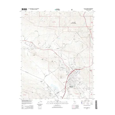
 2018 San Luis Obispo2018 Print · USGSCovers San Luis Obispo, including San Luis Obispo County, United States, and other nearby areas
 - 2018 Map of Pismo Beach, 2018 Print
 2018 Pismo Beach2018 Print · USGSCovers San Luis Obispo, including Grover Beach, Pismo Beach, and other nearby areas
 - 2021 Map of Lopez Mountain, 2021 Print
 2021 Lopez Mountain2021 Print · USGSSan Luis Obispo County’s interior ridges are captured here in the early 2020s, showcasing the intersection of the national forest and the California Aqueduct. Researchers can trace the path of El Camino Real or locate remote landmarks like the Sulphur Pots and Lopez Mtn.
 - 2021 Map of Pismo Beach, 2021 Print
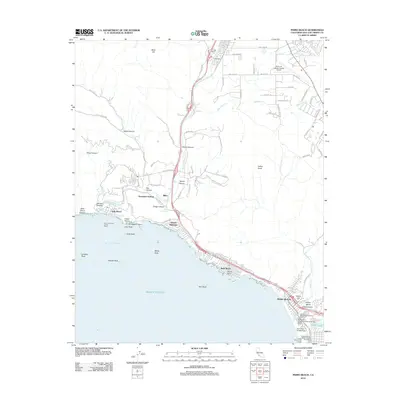
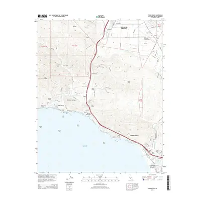
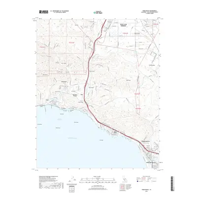
 2021 Pismo Beach2021 Print · USGSThe Central California coast and the Santa Lucia foothills are captured here in the early twenty-first century. Researchers can trace the development of Avila Beach and Pismo Beach or locate landmarks like Smugglers Cave and Indian Knob.
 - 2021 Map of Arroyo Grande NE, 2021 Print
 2021 Arroyo Grande NE2021 Print · USGSCoastal California valleys and the foothills of the Los Padres National Forest are captured in this recent survey. Local historians can trace the paths of the California Aqueduct and old routes through Price Canyon and Edna.
 - 2021 Map of San Luis Obispo, 2021 Print
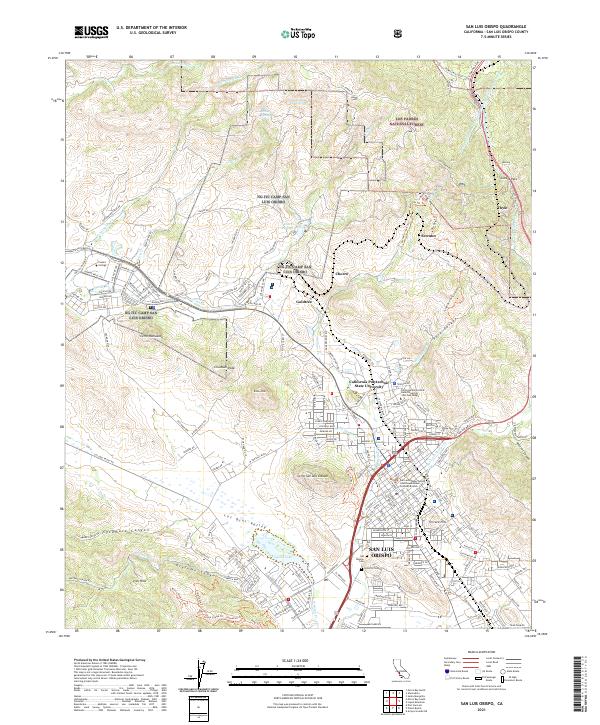 2021 San Luis Obispo2021 Print · USGSSan Luis Obispo and the surrounding volcanic peaks are documented here in the early twenty-first century. Researchers can trace the Southern Pacific RR through Cuesta Pass or locate local landmarks like the Mission Cem and Sutcliffe Cem.
End of results
Showing maps 1-16 of 16
Top cities near San Luis Obispo
- Atascadero historical maps
- Arroyo Grande historical maps
- Grover Beach historical maps
- Morro Bay historical maps
- Pismo Beach historical maps
- Oceano historical maps
See more
Top neighborhoods of San Luis Obispo
- Mill Street District historical maps
- Vinifera historical maps
- South Morros historical maps
- Downtown historical maps
- Japantown historical maps
- Little Italy historical maps
See more
Frequently asked questions
- What are the different types of historical maps available for San Luis Obispo?
- What is the oldest map of San Luis Obispo?
- Where can I purchase historical maps of San Luis Obispo for my home or office?
- Where can I download high-res historical maps of San Luis Obispo?
- Are there historical topographic maps available for San Luis Obispo?
- Is there historical aerial imagery available for San Luis Obispo?
- Where are historical maps of San Luis Obispo sourced from?