2020s Maps of Daly City, California
Explore 2 historic maps of Daly City from the 2020s. These maps offer a rare glimpse into what life looked like during the 2020s — showing old roads, neighborhoods, homes, and landmarks that have changed or disappeared over time.
Whether you're researching your family's past, planning a metal detecting trip, or studying how Daly City's landscape evolved across the 2020s, these high-resolution maps are a powerful tool for exploring the history of this region.
- Focus on a specific era: All maps on this page are from the 2020s, giving you a focused view of this time period.
- See what’s changed: Compare century-old streets, trails, and buildings to today's modern landscape using overlays and satellite layers.
- Research with precision: Use these maps for genealogy, historical research, land use analysis, or educational projects.
- View, download, or print: Maps are fully viewable online in high resolution, and can be downloaded or printed for your own records.
Start exploring Daly City's history through authentic maps from the 2020s. This is your window into the past.
Daly City, CA maps
(2)- 2021 Map of San Francisco South OE W, 2021 Print
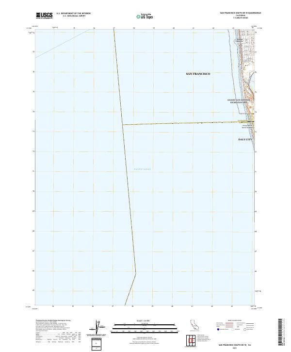 2021 San Francisco South OE W2021 Print · USGSThe Pacific coastline at the edge of the Sunset District is captured here in the early 2020s, where the city grid meets the sea. Researchers can trace coastal routes and landmarks like Phillip Burton Memorial Beach, the Great Hwy, and Skyline Blvd.
 - 2021 Map of San Francisco South, 2021 Print
 2021 San Francisco South2021 Print · USGSThe San Francisco Peninsula and northern San Mateo County appear here as a complex urban corridor during the early twenty-first century. Researchers can trace the vast cemetery lands of Colma, including the Italian Cem, or locate landmarks like Lake Merced and the Bayview District.
End of results
Showing maps 1-2 of 2
Top cities near Daly City
- San Francisco historical maps
- Oakland historical maps
- Berkeley historical maps
- Richmond historical maps
- San Mateo historical maps
- Redwood City historical maps
See more
Top neighborhoods of Daly City
- Westlake historical maps
- Serramonte historical maps
- Bayshore historical maps
- Top of the Hill historical maps
Frequently asked questions
- What are the different types of historical maps available for Daly City?
- What is the oldest map of Daly City?
- Where can I purchase historical maps of Daly City for my home or office?
- Where can I download high-res historical maps of Daly City?
- Are there historical topographic maps available for Daly City?
- Is there historical aerial imagery available for Daly City?
- Where are historical maps of Daly City sourced from?