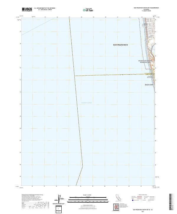
2021 Map of San Francisco South OE W
USGS Topo · Published 2021About this map
Pacific Ocean waters dominate this coastal study, which focuses on the immediate shoreline where the western edge of San Francisco meets the sea. The map documents the residential grid of the Sunset District, where numbered avenues like 48th Ave and 44th Ave terminate near the coast. This interface between urban development and the marine environment is defined by recreational corridors within the Golden Gate National Recreation Area, including the Ocean Beach Route Tri and the Fort Funston Beach Route Tri.
Find a feature on this map
25 named features on this map. Tap any name to fly to it.
Don’t see what you’re looking for? This feature index may not catch every label — zoom into the map to look around manually.
Map Details
Editions of this 2021 San Francisco South OE W Map
This is the sole edition of this map. No revisions or reprints were ever made.
Other maps of this area

1892 · San Mateo
USGS Topo · 1:62,500

1895 · San Francisco
USGS Topo · 1:62,500

1896 · San Mateo
USGS Topo · 1:62,500

1897 · Tamalpais
USGS Topo · 1:62,500

1899 · San Francisco
USGS Topo · 1:62,500

1899 · San Mateo
USGS Topo · 1:62,500

1915 · San Mateo
USGS Topo · 1:62,500

1915 · San Francisco
USGS Topo · 1:62,500

1939 · San Mateo
USGS Topo · 1:62,500

1941 · Tamalpais
USGS Topo · 1:62,500