
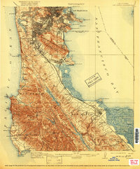
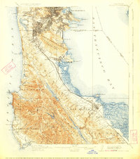
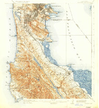
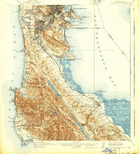
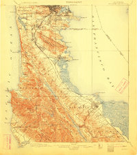
1915 Map of San Mateo
USGS Topo · Published 1915About this map
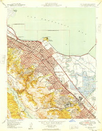
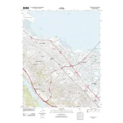
San Francisco Bay and the Pacific coastline of the peninsula define this landscape at a time of significant early growth, as documented in 1914 culture revisions. The urban expansion from San Francisco southward is evident in the development of Daly City and South San Francisco, while established institutions like the Alms House and Industrial School sit near the northern boundary. Inland, the critical water infrastructure of the Spring Valley Ridge is fully detailed, including San Andreas Lake and Crystal Springs Lake held by the Crystal Springs Dam. Transportation networks are dominated by the Southern Pacific RR and the Southern Pacific Interurban, which connect coastal settlements like Moss Beach and Princeton to the growing industrial and residential hubs. Small community landmarks such as Hoyt School and Brewer School provide essential points of reference for local family history research.
Find a feature on this map
112 named features on this map. Tap any name to fly to it.
Don’t see what you’re looking for? This feature index may not catch every label — zoom into the map to look around manually.
Map Details
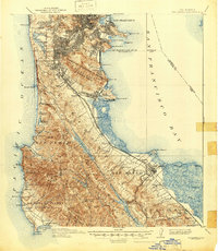
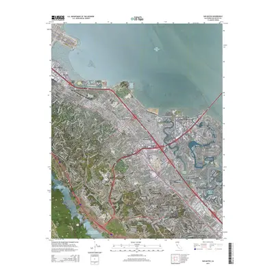
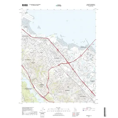
Editions of this 1915 San Mateo Map
6 editions found
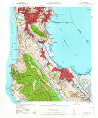
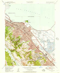
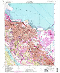
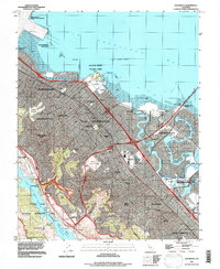
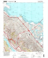
Historical Maps of San Francisco Through Time
15 maps found

1892 San Mateo
San Mateo County, CA

1896 San Mateo
San Mateo County, CA
1899 San Mateo
San Mateo County, CA
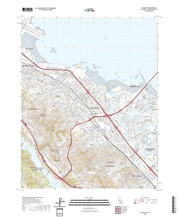
1915 San Mateo
San Mateo County, CA
1939 San Mateo
San Mateo County, CA

1943 San Mateo
San Mateo County, CA
1947 San Mateo
San Mateo County, CA
1949 San Mateo
San Mateo County, CA
1956 San Mateo
San Mateo County, CA
1993 San Mateo
San Mateo County, CA
1997 San Mateo
San Mateo County, CA
2012 San Mateo
San Mateo County, CA
2015 San Mateo
San Mateo County, CA
2018 San Mateo
San Mateo County, CA
2021 San Mateo
San Mateo County, CA