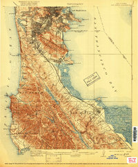
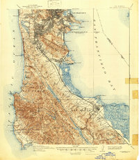
1915 Map of San Mateo
USGS Topo · Published 1920About this map
San Francisco and its southward expansion onto the peninsula are captured here during a period of rapid development and industrialization. The urban grid of the city reaches past Ingleside and Oceanview toward the newly incorporated Daly City, while the eastern shoreline is defined by the rail corridor of the Southern Pacific Railroad and the United Railroad (Interurban). The map reveals a landscape balancing municipal needs with early suburban growth, showing the Industrial School and Alms House alongside growing communities like South San Francisco and Millbrae.
Find a feature on this map
104 named features on this map. Tap any name to fly to it.
Don’t see what you’re looking for? This feature index may not catch every label — zoom into the map to look around manually.
Map Details
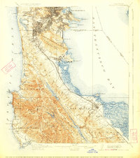
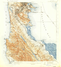
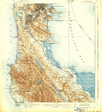
Editions of this 1915 San Mateo Map
6 editions found

Other maps of this area

1892 · San Mateo
USGS Topo · 1:62,500

1895 · San Francisco
USGS Topo · 1:62,500

1896 · San Mateo
USGS Topo · 1:62,500

1897 · Concord
USGS Topo · 1:62,500

1897 · Palo Alto
USGS Topo · 1:62,500

1897 · Tamalpais
USGS Topo · 1:62,500

1899 · San Francisco
USGS Topo · 1:62,500

1899 · Palo Alto
USGS Topo · 1:62,500

1899 · Haywards
USGS Topo · 1:62,500

1899 · San Mateo
USGS Topo · 1:62,500