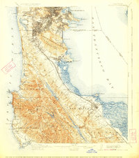
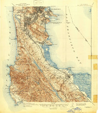
1915 Map of San Mateo
USGS Topo · Published 1923About this map
The San Francisco Peninsula at the opening of the twentieth century was a landscape of rapid suburbanization and industrial utility. Daly City and South San Francisco appear as emerging hubs alongside established stops like Baden Sta and Millbrae. This survey captures the critical water infrastructure serving the growing metropolis, highlighting the San Andreas Lake and Crystal Springs Lake reservoirs secured by the Crystal Springs Dam. Along the Pacific coast, the Ocean Shore route traces the shoreline past the hazardous Devils Slide, while the bay side is dominated by the Southern Pacific rail lines. Social history is etched into the northern district through the Industrial School, the Alms House near Mt Davidson, and the Chinese Cem in Colma. The map also details the early agricultural and coastal settlements of Montara, Moss Beach, and Princeton before modern highway development reshaped the coast.
Find a feature on this map
96 named features on this map. Tap any name to fly to it.
Don’t see what you’re looking for? This feature index may not catch every label — zoom into the map to look around manually.
Map Details
Editions of this 1915 San Mateo Map
6 editions found

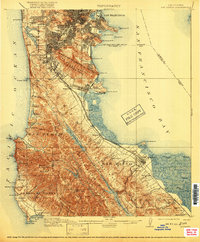
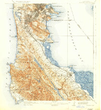
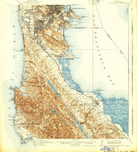
Other maps of this area

1892 · San Mateo
USGS Topo · 1:62,500

1895 · San Francisco
USGS Topo · 1:62,500

1896 · San Mateo
USGS Topo · 1:62,500

1897 · Concord
USGS Topo · 1:62,500

1897 · Palo Alto
USGS Topo · 1:62,500

1897 · Tamalpais
USGS Topo · 1:62,500

1899 · San Francisco
USGS Topo · 1:62,500

1899 · Palo Alto
USGS Topo · 1:62,500

1899 · Haywards
USGS Topo · 1:62,500

1899 · San Mateo
USGS Topo · 1:62,500