2000s (21st Century) Maps of Redwood City, California
Explore 16 historic maps of Redwood City from the 2000s (21st Century). These maps offer a rare glimpse into what life looked like during the 2000s — showing old roads, neighborhoods, homes, and landmarks that have changed or disappeared over time.
Whether you're researching your family's past, planning a metal detecting trip, or studying how Redwood City's landscape evolved across the 2000s, these high-resolution maps are a powerful tool for exploring the history of this region.
- Focus on a specific era: All maps on this page are from the 2000s, giving you a focused view of this time period.
- See what’s changed: Compare century-old streets, trails, and buildings to today's modern landscape using overlays and satellite layers.
- Research with precision: Use these maps for genealogy, historical research, land use analysis, or educational projects.
- View, download, or print: Maps are fully viewable online in high resolution, and can be downloaded or printed for your own records.
Start exploring Redwood City's history through authentic maps from the 2000s. This is your window into the past.
Redwood City, CA maps
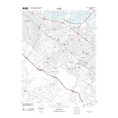
(16)- 2012 Map of San Mateo, 2012 Print
 2012 San Mateo2012 Print · USGSCovers Redwood City, including San Mateo, Foster City, and other nearby areas
 - 2012 Map of Redwood Point, 2012 Print
 2012 Redwood Point2012 Print · USGSCovers Redwood City, including Fremont, Hayward, and other nearby areas
 - 2012 Map of Palo Alto, 2012 Print
 2012 Palo Alto2012 Print · USGSCovers Redwood City, including Palo Alto, Menlo Park, and other nearby areas
 - 2012 Map of Woodside, 2012 Print
 2012 Woodside2012 Print · USGSCovers Redwood City, including San Carlos, Belmont, and other nearby areas
 - 2015 Map of Redwood Point, 2015 Print
 2015 Redwood Point2015 Print · USGSCovers Redwood City, including Fremont, Hayward, and other nearby areas
 - 2015 Map of Woodside, 2015 Print
 2015 Woodside2015 Print · USGSCovers Redwood City, including San Carlos, Belmont, and other nearby areas
 - 2015 Map of San Mateo, 2015 Print
 2015 San Mateo2015 Print · USGSCovers Redwood City, including San Mateo, Foster City, and other nearby areas
 - 2015 Map of Palo Alto, 2015 Print
 2015 Palo Alto2015 Print · USGSCovers Redwood City, including Palo Alto, Menlo Park, and other nearby areas
 - 2018 Map of Palo Alto, 2018 Print
 2018 Palo Alto2018 Print · USGSCovers Redwood City, including Palo Alto, Menlo Park, and other nearby areas
 - 2018 Map of Woodside, 2018 Print
 2018 Woodside2018 Print · USGSCovers Redwood City, including San Carlos, Belmont, and other nearby areas
 - 2018 Map of Redwood Point, 2018 Print
 2018 Redwood Point2018 Print · USGSCovers Redwood City, including Fremont, Hayward, and other nearby areas
 - 2018 Map of San Mateo, 2018 Print
 2018 San Mateo2018 Print · USGSCovers Redwood City, including San Mateo, Foster City, and other nearby areas
 - 2021 Map of Woodside, 2021 Print
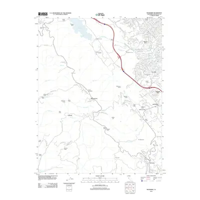
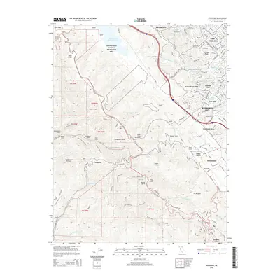
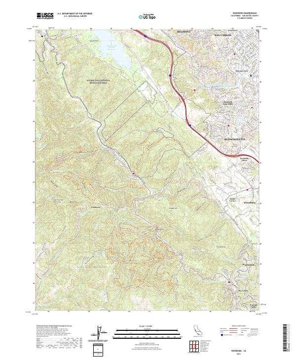 2021 Woodside2021 Print · USGSThe Santa Cruz Mountains meet the Bay Area suburbs in this 2021 study of the ridge-and-valley landscape. Researchers can trace the modern layout of Emerald Lake Hills, the remote trails of Grabtown, and the massive Hetch Hetchy Aqueduct.
 - 2021 Map of Redwood Point, 2021 Print
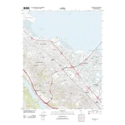
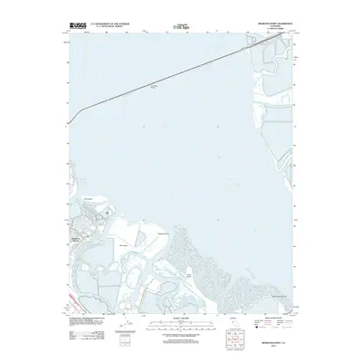
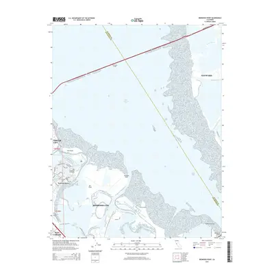
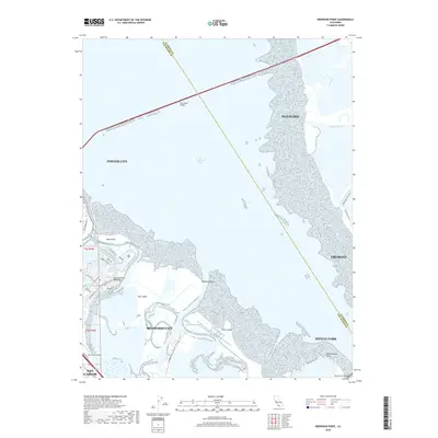
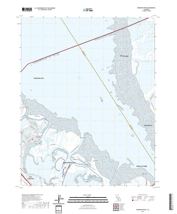 2021 Redwood Point2021 Print · USGSThe San Francisco Bay shoreline in 2021 shows a complex landscape of reclaimed land and tidal marshes. Trace the development of Redwood City and Foster City alongside Bair Island and the San Carlos Airport.
 - 2021 Map of San Mateo, 2021 Print
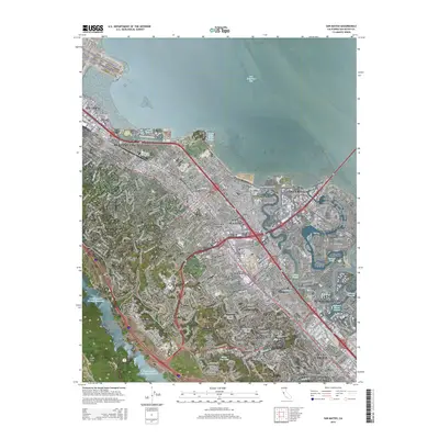
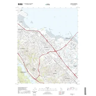
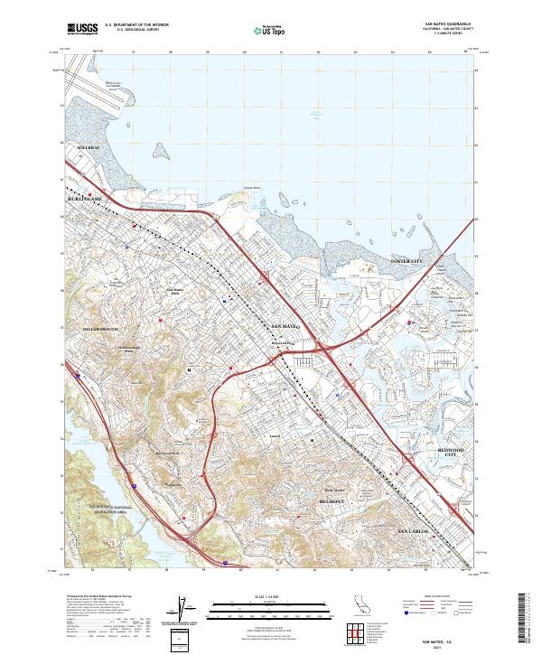 2021 San Mateo2021 Print · USGSThe mid-peninsula shoreline and hills are captured here during a period of dense suburban maturity and complex bayfront development. Researchers can trace the modern layout of neighborhoods like San Mateo Park and Hayward Park alongside landmarks like Saint Johns Cem and the Coyote Point Yacht Harbor.
 - 2021 Map of Palo Alto, 2021 Print
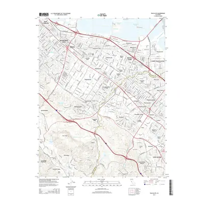
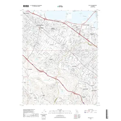
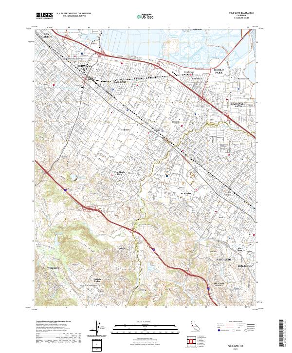 2021 Palo Alto2021 Print · USGSThe Peninsula and the Stanford campus are shown here in the early twenty-first century as the region's academic and residential centers flourished. Researchers can trace the grounds of Stanford University, locate family sites at Alta Mesa Cem, or follow the Hetch Hetchy Aqueduct.
End of results
Showing maps 1-16 of 16
Top cities near Redwood City
- San Jose historical maps
- San Francisco historical maps
- Oakland historical maps
- Fremont historical maps
- Hayward historical maps
- Sunnyvale historical maps
See more
Top neighborhoods of Redwood City
Frequently asked questions
- What are the different types of historical maps available for Redwood City?
- What is the oldest map of Redwood City?
- Where can I purchase historical maps of Redwood City for my home or office?
- Where can I download high-res historical maps of Redwood City?
- Are there historical topographic maps available for Redwood City?
- Is there historical aerial imagery available for Redwood City?
- Where are historical maps of Redwood City sourced from?