Old Maps of Laurel, San Mateo
Explore 26 old maps of Laurel, spanning from 1892 to today. These high-resolution historic maps reveal how streets, neighborhoods, landmarks, and natural features evolved over time — perfect for genealogy, metal detecting, research, and local history exploration.
What you can do with these maps:
- See how Laurel changed over time: Compare historical maps to modern-day views to trace roads, homesites, rail lines & more.
- View detailed metadata: Each map includes creators, publishers, year, scale, and archive source.
- Overlay maps with satellite & LiDAR: Visualize the past alongside modern tools to explore terrain & human change.
- Trusted historical sources: Maps sourced from the USGS, Library of Congress, and other archives.
- Access maps your way: View online, download high-res files, or order prints for personal or research use.
Start exploring old maps of Laurel to uncover forgotten places, hidden landmarks, and the deep history beneath your feet.
Laurel, San Mateo maps
(26)- 1892 Map of San Mateo
 1892 San Mateo1892 Print · USGSThe San Francisco Peninsula in the 1890s reveals a landscape of ranchos and rising rail towns. Trace the early footprints of Colma, Millbrae, and South San Francisco alongside vital water infrastructure like the Crystal Springs Dam.
 - 1896 Map of San Mateo
 1896 San Mateo1896 Print · USGSThe northern San Francisco Peninsula comes alive in this late nineteenth-century survey. Genealogists and historians can trace early trackage of the Southern Pacific R. R. through Colma and Millbrae, or locate the Industrial School and Brewer School.
 - 1899 Map of San Mateo
 1899 San Mateo1899 Print · USGSThe northern San Mateo peninsula appears here in the late nineteenth century as a landscape of early rail lines and critical water infrastructure. Trace the early development of South San Francisco, the sprawling Cemeteries of Colma, and rural schoolhouses like Hoyt School.6 unique versions available
 - 1915 Map of San Mateo
 1915 San Mateo1915 Print · USGSThe San Francisco Peninsula at the start of the twentieth century shows a landscape transitioning from rural ranchos to industrial centers and suburbs. Genealogists can trace family footprints at Colma, locate the Hoyt School, or follow the Southern Pacific RR through Baden Sta.6 unique versions available
 - 1939 Map of San Mateo, 1956 Print
 1939 San Mateo1956 Print · USGSThe San Francisco Peninsula at the brink of the 1940s reveals a landscape of ridge-top vistas and growing railroad towns. Researchers can trace the early layouts of Burlingame, San Bruno, and Millbrae, or locate institutional landmarks like St Josephs Military Academy and the extensive Chinese Cem.3 unique versions available
 - 1943 Map of San Mateo
 1943 San Mateo1943 Print · USGSThe San Francisco Peninsula during the mid-war years shows a region of expanding shoreline industry and established hillside communities. Researchers can trace historic landmarks like St Josephs Military Academy and the Golden Gate National Cem.
 - 1947 Map of San Francisco, 1948 Print
 1947 San Francisco1948 Print · USGSThe Bay Area in the late 1940s reveals a region transitioning from wartime intensity to post-war suburban growth. Trace the historic rail lines of the Southern Pacific RR or locate early military footprints at Fort Funston and Moffett Field.
 - 1947 Map of San Mateo, 1957 Print
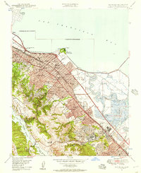 1947 San Mateo1957 Print · USGSMid-century San Mateo County shows a landscape of growing suburbs and salt marshes before the era of massive bay fill. Genealogists and historians can locate the San Mateo Junior College, trace the Southern Pacific line, or find the California Military Academy in Belmont.
 - 1948 Map of San Francisco, 1951 Print
 1948 San Francisco1951 Print · USGSThe Bay Area in the late 1940s reveals a landscape defined by rapid post-war growth and a heavy military presence at the Golden Gate. Trace the development of early trans-bay infrastructure like the Oakland-Bay Bridge and historic coastal defense sites such as Fort Funston and Alcatraz Island.
 - 1949 Map of San Mateo
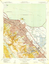 1949 San Mateo1949 Print · USGSThe mid-century San Mateo Peninsula is captured here as a bustling landscape of suburban growth and institutional development. Researchers can trace the legacy of local landmarks like the Bay Meadows Race Track, St Johns Cem, and the historic College of Notre Dame.
 - 1955 Map of San Francisco
 1955 San Francisco1955 Print · USGSThe San Francisco Bay Area and central coast are captured during the postwar boom as suburbs and infrastructure expanded rapidly. Trace the development of local communities and military installations like the Presidio and Fort Mason, or follow the Southern Pacific rail lines.
 - 1956 Map of San Francisco
 1956 San Francisco1956 Print · USGSThe San Francisco Bay Area is captured in the mid-fifties, showing a landscape of rapid post-war growth and massive military installations. Researchers can trace the sprawling rail lines of the Southern Pacific and locate historic sites like Stanford University or the Hunters Point Naval Shipyard.4 unique versions available
 - 1956 Map of San Mateo, 1957 Print
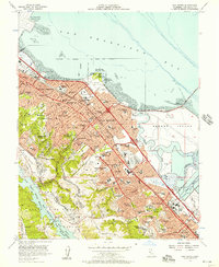 1956 San Mateo1957 Print · USGSThe San Mateo Peninsula is shown during a decade of remarkable suburban growth, stretching from the bayshore mudflats to the San Andreas foothills. Researchers can trace the mid-century layout of San Mateo and Burlingame, locating landmarks like the Bay Meadows Racetrack and the College of San Mateo.6 unique versions available
 - 1957 Map of San Francisco
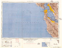 1957 San Francisco1957 Print · USGSThe Bay Area in the mid-fifties reveals a rapidly growing metropolitan landscape connected by its iconic spans and rail networks. Researchers can trace the layout of military sites like the Presidio and the extent of the Southern Pacific and Western Pacific railroads.
 - 1960 Map of San Francisco
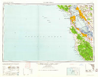 1960 San Francisco1960 Print · USGSThe San Francisco Bay Area at the start of the sixties reveals a landscape of rapid expansion and critical infrastructure. Researchers can trace the development of East Bay communities like Russell City and Mt Eden or locate early rural landmarks like Alpine School.
 - 1961 Map of San Francisco
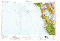 1961 San Francisco1961 Print · USGSThe Bay Area at the dawn of the 1960s reveals a landscape of growing cities and massive Cold War military installations. Genealogists and historians can trace the mid-century urban footprint from Berkeley to San Mateo, while locating landmarks like the Presidio, Alcatraz Island, and Moffett Field Air Station.
 - 1964 Map of San Francisco
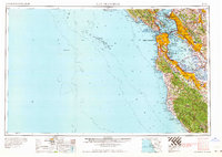 1964 San Francisco1964 Print · USGSThe Bay Area in the mid-sixties shows a region of rapid suburban expansion and major military installations. Researchers can trace the development of the South Bay near Stanford University or locate family plots in the historic Cypress Lawn Cem and Holy Cross Cem.
 - 1971 Map of San Francisco
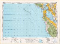 1971 San Francisco1971 Print · USGSThe San Francisco Bay Area at the start of the 1970s is shown here as a dense network of aerospace hubs, naval bases, and expanding suburbs. Researchers can trace the mid-century footprint of Stanford University, the industrial Salt Evaporators, and the Southern Pacific rail lines.
 - 1978 Map of San Francisco, 1979 Print
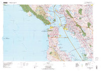 1978 San Francisco1979 Print · USGSThe San Francisco Bay Area in the late seventies reveals a landscape where massive naval installations and federal parklands meet a rapidly maturing urban core. Genealogists and historians can locate family landmarks near the National Cemetery, trace the Southern Pacific rail lines, or study the layout of the Alameda Naval Air Station.2 unique versions available
 - 1985 Map of San Francisco, 1989 Print
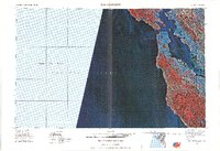 1985 San Francisco1989 Print · USGSThe Bay Area is captured in the mid-1980s through experimental Landsat satellite imagery, offering a unique technological perspective of the California coast. Trace the urban boundaries of San Francisco and Alameda against the San Francisco Bay and Lorenzo.
 - 1993 Map of San Mateo, 1997 Print
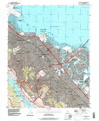 1993 San Mateo1997 Print · USGSThe San Mateo Peninsula is shown here during a period of intense suburban maturity in the early 1990s. Researchers can trace the legacy of the area through landmarks like St Johns Cemetery, the Anza Expedition Historical Marker, and Bay Meadows Racetrack.
 - 1997 Map of San Mateo, 1999 Print
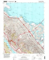 1997 San Mateo1999 Print · USGSThe Peninsula shoreline and coastal hills are captured here in the late nineties as the region’s suburban and industrial footprints reached their peak. Trace the layout of legendary landmarks like the Bay Meadows Racetrack, the College of San Mateo, and the waterfront at Coyote Point.
 - 2012 Map of San Mateo, 2012 Print
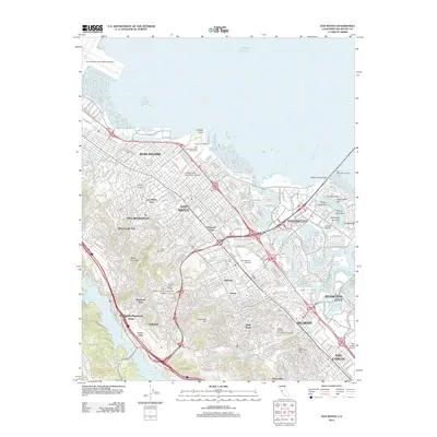 2012 San Mateo2012 Print · USGSThe San Mateo Peninsula at the start of the new millennium displays an intricate balance of dense suburban living and Pacific shoreline engineering. Researchers can trace established landmarks like Saint Johns Cemetery or the engineered islands of Foster City, including Surfbird Isle and Flying Mist Isle.
 - 2015 Map of San Mateo, 2015 Print
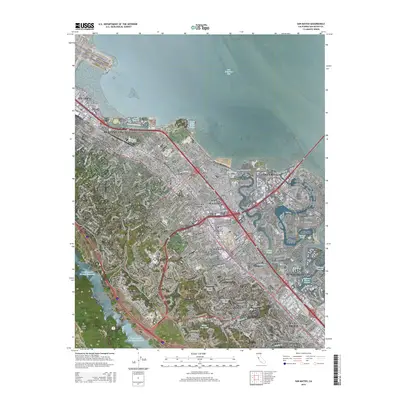 2015 San Mateo2015 Print · USGSThe Peninsula shoreline and its developed interior are captured here in the mid-2010s. Researchers can trace neighborhood growth through San Mateo Park or locate landmarks like Saint Johns Cemetery and the San Andreas Fault.
 - 2018 Map of San Mateo, 2018 Print
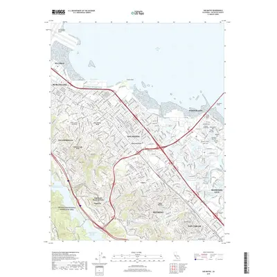 2018 San Mateo2018 Print · USGSThe San Francisco Peninsula's eastern shore comes into focus during the late twenty-teens, showing the dense suburban development between the bay and the mountains. Trace local history through established neighborhoods like San Mateo Park and bayfront features such as Coyote Point and Brewer Island.
Showing maps 1-25 of 26
Top cities near Laurel
- San Francisco historical maps
- Oakland historical maps
- Fremont historical maps
- Hayward historical maps
- San Mateo historical maps
- Daly City historical maps
See more
Frequently asked questions
- What are the different types of historical maps available for Laurel?
- What is the oldest map of Laurel?
- Where can I purchase historical maps of Laurel for my home or office?
- Where can I download high-res historical maps of Laurel?
- Are there historical topographic maps available for Laurel?
- Is there historical aerial imagery available for Laurel?
- Where are historical maps of Laurel sourced from?