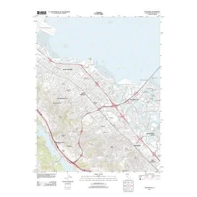
2012 Map of San Mateo
USGS Topo · Published 2012About this map
San Mateo and its neighboring Peninsula communities appear in this early 21st-century study, showcasing a landscape defined by dense residential suburbs and sophisticated water management. The urbanized corridor stretches from Hillsborough Park down to San Carlos, bounded by the waters of the Pacific Ocean to the east and the massive Upper Crystal Springs Reservoir to the west. This era reveals the complex shoreline development of Foster City, where a network of artificial islands like Flying Cloud Isle and Shearwater Isle creates a distinctive nautical suburban pattern.
Find a feature on this map
60 named features on this map. Tap any name to fly to it.
Don’t see what you’re looking for? This feature index may not catch every label — zoom into the map to look around manually.
Map Details
Editions of this 2012 San Mateo Map
This is the sole edition of this map. No revisions or reprints were ever made.
Other maps of this area

1892 · San Mateo
USGS Topo · 1:62,500

1896 · San Mateo
USGS Topo · 1:62,500

1897 · Palo Alto
USGS Topo · 1:62,500

1899 · Palo Alto
USGS Topo · 1:62,500

1899 · Haywards
USGS Topo · 1:62,500

1899 · San Mateo
USGS Topo · 1:62,500

1902 · Santa Cruz
USGS Topo · 1:125,000

1915 · San Mateo
USGS Topo · 1:62,500

1915 · Haywards
USGS Topo · 1:62,500

1939 · San Mateo
USGS Topo · 1:62,500