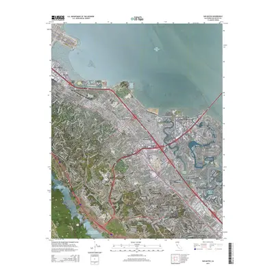
2015 Map of San Mateo
USGS Topo · Published 2015About this map
San Mateo and its neighboring Peninsula communities are showcased here in high-detail, revealing a complex landscape where suburban development meets the edge of the San Francisco Bay. The map traces the dense residential grids of Burlingame, Hillsborough, and Belmont, while the planned waterways of Foster City illustrate a unique lagoon-based neighborhood design featuring Dolphin Isle and Sailfish Isle.
Find a feature on this map
60 named features on this map. Tap any name to fly to it.
Don’t see what you’re looking for? This feature index may not catch every label — zoom into the map to look around manually.
Map Details
Editions of this 2015 San Mateo Map
This is the sole edition of this map. No revisions or reprints were ever made.
Other maps of this area

1892 · San Mateo
USGS Topo · 1:62,500

1896 · San Mateo
USGS Topo · 1:62,500

1897 · Palo Alto
USGS Topo · 1:62,500

1899 · Palo Alto
USGS Topo · 1:62,500

1899 · Haywards
USGS Topo · 1:62,500

1899 · San Mateo
USGS Topo · 1:62,500

1902 · Santa Cruz
USGS Topo · 1:125,000

1915 · San Mateo
USGS Topo · 1:62,500

1915 · Haywards
USGS Topo · 1:62,500

1939 · San Mateo
USGS Topo · 1:62,500