Old Maps of Bicknell, California for Genealogy
Trace your family roots with 19 historic maps of Bicknell. These high-res maps reveal old neighborhoods, homesites, landmarks, and streets — helping you uncover where your ancestors lived and how the area evolved over time.
- Explore historic neighborhoods: Identify where your relatives may have lived in the 1800s or 1900s.
- Compare maps over time: Trace the changes in streets, buildings, and landmarks for multi-generational research.
- Perfect for genealogy & ancestry research: Used by family historians and researchers to map out lineage and migration.
These maps are an incredible resource for exploring your personal connection to Bicknell's past.
Bicknell, CA maps
(19)- 1905 Map of Lompoc
 1905 Lompoc1905 Print · USGSSanta Barbara County at the turn of the century reveals a landscape of historic ranchos and early industry before the rise of modern development. Researchers can trace the early Pacific Coast RR and locate heritage sites like Santa Ynez Mission and the Union Oil Wells.7 unique versions available
 - 1942 Map of Lompoc
 1942 Lompoc1942 Print · USGSSanta Barbara County at the start of World War II reveals a landscape of missions, ranching, and coastal rail. Researchers can trace the Pacific Coast Railroad, locate historic schools like Sisquoc Sch, and find the remote Asphaltum Mine.
 - 1942 Map of Santa Maria
 1942 Santa Maria1942 Print · USGSSanta Barbara County was a hub of petroleum production and river-valley agriculture in the early 1940s. Genealogists and local historians can trace the early footprints of Santa Maria, the Santa Maria Valley Oil Field, and rural stops like Bicknell and Orcutt.
 - 1943 Map of Lompoc
 1943 Lompoc1943 Print · USGSCoastal Santa Barbara County appears in the early 1940s as a land of historic missions, early oil and asphalt mining, and rugged mountain ranges. Researchers can trace the PACIFIC COAST RAILROAD, locate schools like Tepusquet Sch, and explore the grounds of Mission La Purisima.
 - 1947 Map of Orcutt, 1948 Print
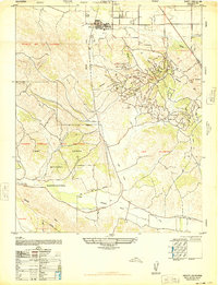 1947 Orcutt1948 Print · USGSThe Central Coast oil boom and military expansion define this mid-century survey of the Santa Maria Valley. Researchers can trace the early industrial layout of Orcutt and its Oil Fields, alongside the sprawling Camp Cooke Military Reservation.
 - 1947 Map of Santa Maria, 1954 Print
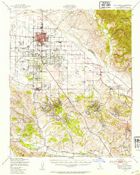 1947 Santa Maria1954 Print · USGSSanta Barbara County’s central coast is shown here during a mid-century period of industrial and military expansion. You can trace the development of the Oil Field near Orcutt, early airfields like Machado Airfield, and the Camp Cooke Military Reservation.
 - 1948 Map of Santa Maria
 1948 Santa Maria1948 Print · USGSSanta Barbara County in the late 1940s reveals a landscape of coastal defense and valley agriculture. Genealogists and historians can trace the footprint of Camp Cooke Military Reservation or locate rural landmarks like Honda School and Betteravia.2 unique versions available
 - 1956 Map of Santa Maria, 1973 Print
 1956 Santa Maria1973 Print · USGSThe Central Coast landscape at the height of the Cold War reveals a mix of aerospace expansion and historic ranching towns. Trace the early footprint of Vandenberg AFB or locate coastal rail stops like Surf and the mission site at La Purisima Mission State Park.2 unique versions available
 - 1957 Map of Santa Maria
 1957 Santa Maria1957 Print · USGSCoastal Santa Barbara County is captured here during the mid-fifties, showing a landscape defined by military installations and petroleum production. Researchers can trace the Southern Pacific rail line and locate rural landmarks like Honda School, Betteravia, and the John Manville Plant.
 - 1958 Map of Santa Maria
 1958 Santa Maria1958 Print · USGSThe Central Coast in the mid-fifties reveals a landscape shaped by military expansion and historic ranching towns. Researchers can trace the Southern Pacific railroad through Betteravia and Guadalupe, or explore the early layout of Camp Cooke Military Reservation.
 - 1959 Map of Orcutt, 1960 Print
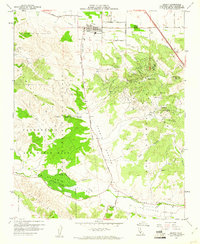 1959 Orcutt1960 Print · USGSIn the Santa Maria Valley during the late fifties, this area was a hub of energy production and military operations. Researchers can trace the extensive footprints of the Orcutt Oil Field, the early borders of Vandenberg Air Force Base, and the Union Sch in the town of Orcutt.5 unique versions available
 - 1959 Map of Santa Maria, 1961 Print
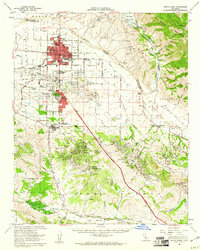 1959 Santa Maria1961 Print · USGSThe Central Coast oil boom and mid-century growth define the Santa Maria Valley during this era of transformation. Researchers can trace the sprawling Orcutt Oil Field, the early borders of Vandenberg Air Force Base, and the tracks of the Santa Maria Valley RR.2 unique versions available
 - 1962 Map of Santa Maria
 1962 Santa Maria1962 Print · USGSCoastal Santa Barbara County and its offshore islands are shown here during the early years of the Space Age. Researchers can trace the rail corridor of the Southern Pacific or locate local landmarks like Los Coches Mine and Solvang.
 - 1982 Map of Santa Maria, 1983 Print
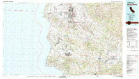 1982 Santa Maria1983 Print · USGSSanta Barbara County in the early eighties shows the expansion of the Central Coast, from the military grounds of the shoreline to the inland valleys. You can trace the Southern Pacific rail lines and locate landmarks like Betteravia, Los Alamos, and the La Purisima Mission State Historical Mon.2 unique versions available
 - 1989 Map of Santa Maria, 1991 Print
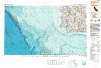 1989 Santa Maria1991 Print · USGSThe Central Coast in the late eighties reveals a landscape of massive coastal installations and deep-rooted agricultural valleys. Genealogists and researchers can trace the Southern Pacific line through Guadalupe or locate landmarks like Betteravia and the La Purisima Mission State Historical Monument.
 - 2012 Map of Orcutt, 2012 Print
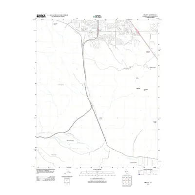 2012 Orcutt2012 Print · USGSSanta Barbara County’s petroleum and military history is on full display here in the early 2010s. Researchers can trace the sprawling Orcutt Oil Field, the northern edge of Vandenberg Air Force Base, and the small settlement of Bicknell.
 - 2015 Map of Orcutt, 2015 Print
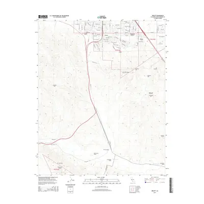 2015 Orcutt2015 Print · USGSOrcutt and its surrounding valleys are captured here in the mid-2010s, showcasing the expansion of residential life into the Santa Maria Valley foothills. Researchers can trace the development of Cimarron Estates, the legacy of Bicknell, and the geography of the Solomon Hills.
 - 2018 Map of Orcutt, 2018 Print
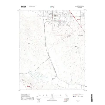 2018 Orcutt2018 Print · USGSCoastal California hills and the community of Orcutt are captured here in the late twenty-teens. Researchers can trace local development around Saint Joseph Seminary and identify landmarks in the Solomon Hills including Mt Solomon and Bicknell.
 - 2021 Map of Orcutt, 2021 Print
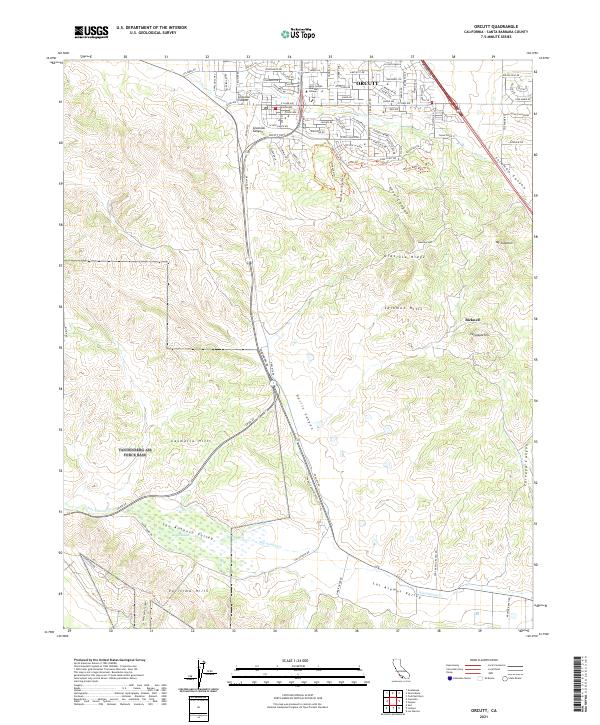 2021 Orcutt2021 Print · USGSOrcutt and the surrounding Santa Maria Valley edge are captured here in 2021, showing the area's mix of suburban growth and ranching terrain. Researchers can find Saint Joseph Seminary College, trace the San Antonio Valley floor, and locate Bicknell among the Solomon Hills.
End of results
Showing maps 1-19 of 19
Top cities near Bicknell
- Santa Maria historical maps
- Lompoc historical maps
- Lompoc historical maps
- Orcutt historical maps
- Vandenberg Village historical maps
- Guadalupe historical maps
See more
Frequently asked questions
- What are the different types of historical maps available for Bicknell?
- What is the oldest map of Bicknell?
- Where can I purchase historical maps of Bicknell for my home or office?
- Where can I download high-res historical maps of Bicknell?
- Are there historical topographic maps available for Bicknell?
- Is there historical aerial imagery available for Bicknell?
- Where are historical maps of Bicknell sourced from?