Old Maps of Loma Chiquita, California
Explore 15 old maps of Loma Chiquita, spanning from 1916 to today. These high-resolution historic maps reveal how streets, neighborhoods, landmarks, and natural features evolved over time — perfect for genealogy, metal detecting, research, and local history exploration.
What you can do with these maps:
- See how Loma Chiquita changed over time: Compare historical maps to modern-day views to trace roads, homesites, rail lines & more.
- View detailed metadata: Each map includes creators, publishers, year, scale, and archive source.
- Overlay maps with satellite & LiDAR: Visualize the past alongside modern tools to explore terrain & human change.
- Trusted historical sources: Maps sourced from the USGS, Library of Congress, and other archives.
- Access maps your way: View online, download high-res files, or order prints for personal or research use.
Start exploring old maps of Loma Chiquita to uncover forgotten places, hidden landmarks, and the deep history beneath your feet.
Loma Chiquita, CA maps
(15)- 1916 Map of New Almaden
 1916 New Almaden1916 Print · USGSThe Santa Cruz Mountains and the Guadalupe River watershed are captured here during the mid-1910s. Researchers can trace the rail-to-mine connections of New Almaden or locate early schools like Vinehill School and the (Abandoned Town) near Almaden Canyon.
 - 1919 Map of New Almaden, 1928 Print
 1919 New Almaden1928 Print · USGSThe Santa Cruz Mountains and the mercury mining district at New Almaden are shown here as they appeared just after the first world war. Researchers can trace the Southern Pacific rail line and locate numerous rural schoolhouses like Summit School and Eureka School.4 unique versions available
 - 1940 Map of Los Gatos, 1961 Print
 1940 Los Gatos1961 Print · USGSThe Santa Cruz Mountains and southern Santa Clara Valley appear in the early 1940s, showing a landscape of mountain resorts and isolated summits. Researchers can trace the footprints of Alma College, the community at Holy City, and historical landmarks like Mine Hill.2 unique versions available
 - 1943 Map of Los Gatos
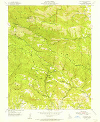
 1943 Los Gatos1943 Print · USGSThe Santa Cruz Mountains and Santa Clara Valley are seen here in the early 1940s, before widespread development reshaped the landscape. Researchers can trace historic mountain communities like Holy City, old rural schools such as Hester Creek Sch, and the high-elevation Loma Prieta Lookout.
 - 1947 Map of San Jose, 1948 Print
 1947 San Jose1948 Print · USGSNorthern California's heartland is captured here just after the war, showing the rapid growth of the Santa Clara and Central Valleys. Researchers can trace the legacy of rail and water at Castle Air Force Base, Stockton, and the Hetch Hetchy Aqueduct.
 - 1955 Map of Loma Prieta, 1956 Print
 1955 Loma Prieta1956 Print · USGSThe Santa Cruz Mountains in the mid-fifties are captured here as a mix of high-altitude technology and deep canyon settlements. Researchers can find old landmarks like the Eureka Sch (Aband), the Future Farmers of America Camp, and the secluded cabins at Sveadal.6 unique versions available
 - 1956 Map of San Jose
 1956 San Jose1956 Print · USGSCentral California in the mid-fifties reveals the transition from sprawling orchards to growing urban hubs like San Jose and Stockton. Genealogists and historians can trace the rail-era landscape of the Mother Lode through Chinese Camp and Tuttletown, or follow the water through the Joaquin River and Calaveras Reservoir.
 - 1962 Map of San Jose
 1962 San Jose1962 Print · USGSCentral California in the early sixties showcases the expansion of the San Joaquin and Santa Clara valleys. Researchers can trace the rail-to-road transition along the Southern Pacific RR or locate landmarks like Castle USAF Base and Loma Prieta.4 unique versions available
 - 1966 Map of San Jose
 1966 San Jose1966 Print · USGSCentral California in the mid-1960s reveals a landscape of massive irrigation projects and expanding Cold War military footprints. Researchers can trace the rail-and-river network of the San Joaquin Valley or locate specialized sites like Castle Air Force Base and the Sharp General Depot (Military).
 - 1978 Map of San Jose
 1978 San Jose1978 Print · USGSSanta Clara County and the East Bay hills are captured in the late seventies, showing the suburban sprawl of San Jose alongside the rural Central Valley. Trace the paths of the Southern Pacific railroad and find landmarks like New Almaden and Lick Observatory.
 - 1996 Map of Loma Prieta, 1999 Print
 1996 Loma Prieta1999 Print · USGSThe Santa Cruz Mountains ridge-line in the mid-nineties shows the distinct geological scarring of the San Andreas Fault Zone. Local historians can trace the old boundary of the Pueblo Lands of San Jose and the drainage of Uvas Creek near Loma Prieta.
 - 2012 Map of Loma Prieta, 2012 Print
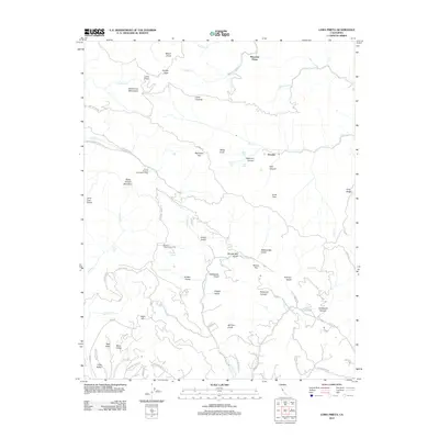 2012 Loma Prieta2012 Print · USGSCovers Loma Chiquita, including San Jose, Watsonville, and other nearby areas
 - 2015 Map of Loma Prieta, 2015 Print
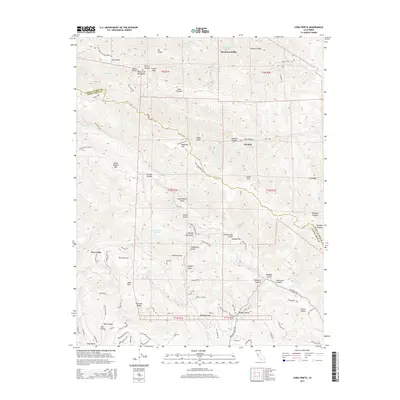 2015 Loma Prieta2015 Print · USGSCovers Loma Chiquita, including San Jose, Watsonville, and other nearby areas
 - 2018 Map of Loma Prieta, 2018 Print
 2018 Loma Prieta2018 Print · USGSCovers Loma Chiquita, including San Jose, Watsonville, and other nearby areas
 - 2021 Map of Loma Prieta, 2021 Print
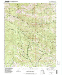
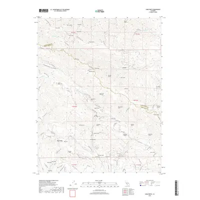
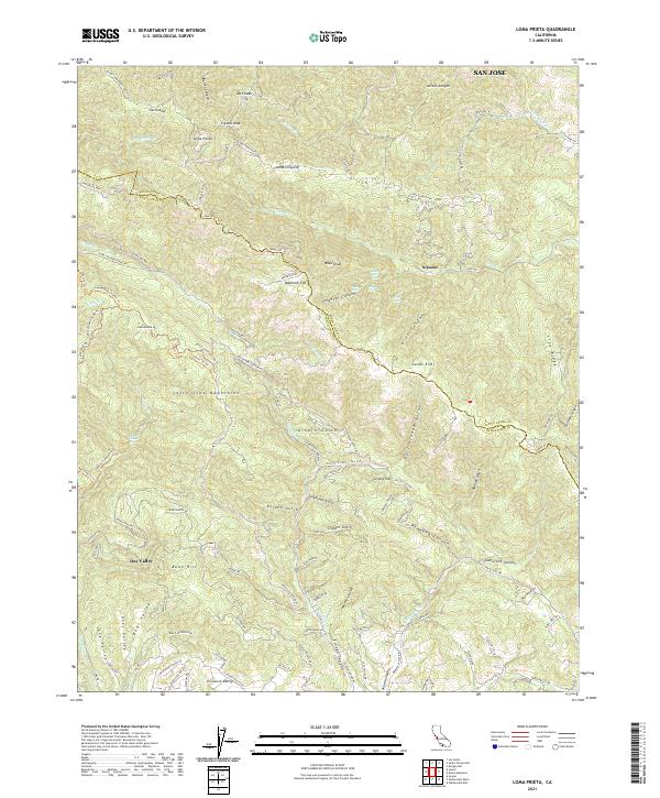 2021 Loma Prieta2021 Print · USGSThe Santa Cruz Mountains and the Santa Clara County line meet at the summit of Loma Prieta in this modern survey of the California coast range. Researchers can trace remote settlements and canyon landmarks such as Sveadal, Grizzly Flat, and Maymens Flat along the winding Highland Way.
End of results
Showing maps 1-15 of 15
Top cities near Loma Chiquita
- San Jose historical maps
- Santa Clara historical maps
- Santa Cruz historical maps
- Gilroy historical maps
- Cupertino historical maps
- Watsonville historical maps
See more
Frequently asked questions
- What are the different types of historical maps available for Loma Chiquita?
- What is the oldest map of Loma Chiquita?
- Where can I purchase historical maps of Loma Chiquita for my home or office?
- Where can I download high-res historical maps of Loma Chiquita?
- Are there historical topographic maps available for Loma Chiquita?
- Is there historical aerial imagery available for Loma Chiquita?
- Where are historical maps of Loma Chiquita sourced from?