Old Maps of Triple El, Palo Alto for Genealogy
Trace your family roots with 23 historic maps of Triple El. These high-res maps reveal old neighborhoods, homesites, landmarks, and streets — helping you uncover where your ancestors lived and how the area evolved over time.
- Explore historic neighborhoods: Identify where your relatives may have lived in the 1800s or 1900s.
- Compare maps over time: Trace the changes in streets, buildings, and landmarks for multi-generational research.
- Perfect for genealogy & ancestry research: Used by family historians and researchers to map out lineage and migration.
These maps are an incredible resource for exploring your personal connection to Triple El's past.
Triple El, Palo Alto maps
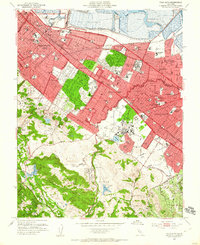
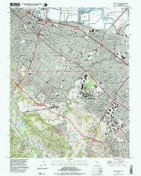
(23)- 1897 Map of Palo Alto
 1897 Palo Alto1897 Print · USGSCovers Triple El, including San Jose, Fremont, and other nearby areas
 - 1899 Map of Palo Alto
 1899 Palo Alto1899 Print · USGSCovers Triple El, including San Jose, Fremont, and other nearby areas11 unique versions available
 - 1902 Map of Santa Cruz
 1902 Santa Cruz1902 Print · USGSCovers Triple El, including San Jose, Fremont, and other nearby areas9 unique versions available
 - 1941 Map of Palo Alto
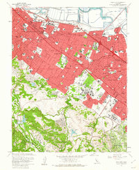
 1941 Palo Alto1941 Print · USGSCovers Triple El, including San Jose, Fremont, and other nearby areas
 - 1943 Map of Palo Alto
 1943 Palo Alto1943 Print · USGSCovers Triple El, including San Jose, Fremont, and other nearby areas
 - 1947 Map of San Francisco, 1948 Print
 1947 San Francisco1948 Print · USGSCovers Triple El, including San Jose, San Francisco, and other nearby areas
 - 1948 Map of San Francisco, 1951 Print
 1948 San Francisco1951 Print · USGSCovers Triple El, including San Jose, San Francisco, and other nearby areas
 - 1948 Map of Palo Alto, 1956 Print
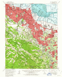
 1948 Palo Alto1956 Print · USGSCovers Triple El, including San Jose, Fremont, and other nearby areas
 - 1953 Map of Palo Alto, 1955 Print
 1953 Palo Alto1955 Print · USGSCovers Triple El, including Redwood City, Palo Alto, and other nearby areas2 unique versions available
 - 1955 Map of San Francisco
 1955 San Francisco1955 Print · USGSCovers Triple El, including San Jose, San Francisco, and other nearby areas
 - 1956 Map of San Francisco
 1956 San Francisco1956 Print · USGSCovers Triple El, including San Jose, San Francisco, and other nearby areas4 unique versions available
 - 1957 Map of San Francisco
 1957 San Francisco1957 Print · USGSCovers Triple El, including San Jose, San Francisco, and other nearby areas
 - 1960 Map of San Francisco
 1960 San Francisco1960 Print · USGSCovers Triple El, including San Jose, San Francisco, and other nearby areas
 - 1961 Map of San Francisco
 1961 San Francisco1961 Print · USGSCovers Triple El, including San Jose, San Francisco, and other nearby areas
 - 1961 Map of Palo Alto, 1962 Print
 1961 Palo Alto1962 Print · USGSCovers Triple El, including Redwood City, Palo Alto, and other nearby areas4 unique versions available
 - 1961 Map of Palo Alto, 1963 Print
 1961 Palo Alto1963 Print · USGSCovers Triple El, including San Jose, Fremont, and other nearby areas3 unique versions available
 - 1964 Map of San Francisco
 1964 San Francisco1964 Print · USGSCovers Triple El, including San Jose, San Francisco, and other nearby areas
 - 1971 Map of San Francisco
 1971 San Francisco1971 Print · USGSCovers Triple El, including San Jose, San Francisco, and other nearby areas
 - 1982 Map of Palo Alto, 1983 Print
 1982 Palo Alto1983 Print · USGSCovers Triple El, including San Jose, Fremont, and other nearby areas2 unique versions available
 - 1985 Map of San Francisco, 1989 Print
 1985 San Francisco1989 Print · USGSCovers Triple El, including San Jose, San Francisco, and other nearby areas
 - 1991 Map of Palo Alto, 1995 Print
 1991 Palo Alto1995 Print · USGSCovers Triple El, including Redwood City, Palo Alto, and other nearby areas2 unique versions available
 - 1997 Map of Palo Alto, 1999 Print
 1997 Palo Alto1999 Print · USGSCovers Triple El, including Redwood City, Palo Alto, and other nearby areas
 - 2021 Map of Palo Alto, 2021 Print
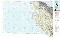
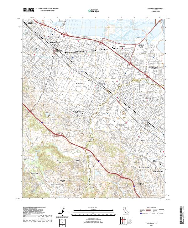 2021 Palo Alto2021 Print · USGSCovers Triple El, including Redwood City, Palo Alto, and other nearby areas
End of results
Showing maps 1-23 of 23
Frequently asked questions
- What are the different types of historical maps available for Triple El?
- What is the oldest map of Triple El?
- Where can I purchase historical maps of Triple El for my home or office?
- Where can I download high-res historical maps of Triple El?
- Are there historical topographic maps available for Triple El?
- Is there historical aerial imagery available for Triple El?
- Where are historical maps of Triple El sourced from?