Old Maps of Triple El, Palo Alto for Metal Detecting
Plan your next treasure hunt with 23 historic maps of Triple El. Find old homesites, ghost towns, trails, and gathering spots that may be lost to time — perfect for identifying promising metal detecting locations.
- Locate forgotten sites: Uncover places like long-lost settlements, abandoned rail lines, or gathering spots.
- Plan better hunts: Use map overlays combined with LiDAR or satellite views to narrow in on historically rich areas.
- Made for detectorists: Thousands of hobbyists use these maps to discover relics, coins, and hidden history.
Use these historic maps to boost your research and find new opportunities beneath the surface of Triple El.
Triple El, Palo Alto maps
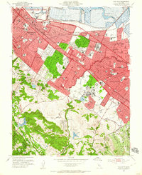
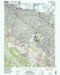
(23)- 1897 Map of Palo Alto
 1897 Palo Alto1897 Print · USGSCovers Triple El, including San Jose, Fremont, and other nearby areas
 - 1899 Map of Palo Alto
 1899 Palo Alto1899 Print · USGSCovers Triple El, including San Jose, Fremont, and other nearby areas11 unique versions available
 - 1902 Map of Santa Cruz
 1902 Santa Cruz1902 Print · USGSCovers Triple El, including San Jose, Fremont, and other nearby areas9 unique versions available
 - 1941 Map of Palo Alto
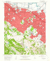
 1941 Palo Alto1941 Print · USGSCovers Triple El, including San Jose, Fremont, and other nearby areas
 - 1943 Map of Palo Alto
 1943 Palo Alto1943 Print · USGSCovers Triple El, including San Jose, Fremont, and other nearby areas
 - 1947 Map of San Francisco, 1948 Print
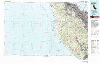
 1947 San Francisco1948 Print · USGSCovers Triple El, including San Jose, San Francisco, and other nearby areas
 - 1948 Map of San Francisco, 1951 Print
 1948 San Francisco1951 Print · USGSCovers Triple El, including San Jose, San Francisco, and other nearby areas
 - 1948 Map of Palo Alto, 1956 Print
 1948 Palo Alto1956 Print · USGSCovers Triple El, including San Jose, Fremont, and other nearby areas
 - 1953 Map of Palo Alto, 1955 Print
 1953 Palo Alto1955 Print · USGSCovers Triple El, including Redwood City, Palo Alto, and other nearby areas2 unique versions available
 - 1955 Map of San Francisco
 1955 San Francisco1955 Print · USGSCovers Triple El, including San Jose, San Francisco, and other nearby areas
 - 1956 Map of San Francisco
 1956 San Francisco1956 Print · USGSCovers Triple El, including San Jose, San Francisco, and other nearby areas4 unique versions available
 - 1957 Map of San Francisco
 1957 San Francisco1957 Print · USGSCovers Triple El, including San Jose, San Francisco, and other nearby areas
 - 1960 Map of San Francisco
 1960 San Francisco1960 Print · USGSCovers Triple El, including San Jose, San Francisco, and other nearby areas
 - 1961 Map of San Francisco
 1961 San Francisco1961 Print · USGSCovers Triple El, including San Jose, San Francisco, and other nearby areas
 - 1961 Map of Palo Alto, 1962 Print
 1961 Palo Alto1962 Print · USGSCovers Triple El, including Redwood City, Palo Alto, and other nearby areas4 unique versions available
 - 1961 Map of Palo Alto, 1963 Print
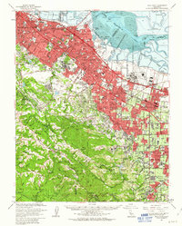 1961 Palo Alto1963 Print · USGSCovers Triple El, including San Jose, Fremont, and other nearby areas3 unique versions available
 - 1964 Map of San Francisco
 1964 San Francisco1964 Print · USGSCovers Triple El, including San Jose, San Francisco, and other nearby areas
 - 1971 Map of San Francisco
 1971 San Francisco1971 Print · USGSCovers Triple El, including San Jose, San Francisco, and other nearby areas
 - 1982 Map of Palo Alto, 1983 Print
 1982 Palo Alto1983 Print · USGSCovers Triple El, including San Jose, Fremont, and other nearby areas2 unique versions available
 - 1985 Map of San Francisco, 1989 Print
 1985 San Francisco1989 Print · USGSCovers Triple El, including San Jose, San Francisco, and other nearby areas
 - 1991 Map of Palo Alto, 1995 Print
 1991 Palo Alto1995 Print · USGSCovers Triple El, including Redwood City, Palo Alto, and other nearby areas2 unique versions available
 - 1997 Map of Palo Alto, 1999 Print
 1997 Palo Alto1999 Print · USGSCovers Triple El, including Redwood City, Palo Alto, and other nearby areas
 - 2021 Map of Palo Alto, 2021 Print
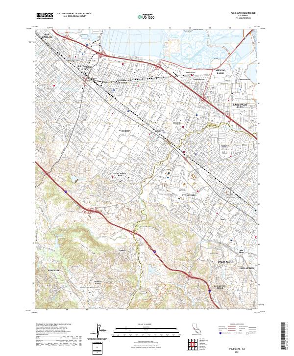 2021 Palo Alto2021 Print · USGSCovers Triple El, including Redwood City, Palo Alto, and other nearby areas
End of results
Showing maps 1-23 of 23
Frequently asked questions
- What are the different types of historical maps available for Triple El?
- What is the oldest map of Triple El?
- Where can I purchase historical maps of Triple El for my home or office?
- Where can I download high-res historical maps of Triple El?
- Are there historical topographic maps available for Triple El?
- Is there historical aerial imagery available for Triple El?
- Where are historical maps of Triple El sourced from?