Old Maps of Happy Valley, California for Academic Research
Study the evolution of Happy Valley with 15 high-resolution historic maps. Whether you're teaching, researching, or modeling changes in land use, these maps provide essential visual documentation of urban, environmental, and geographic change.
- Analyze long-term change: Track patterns in development, transportation, and natural features.
- Ideal for environmental or urban studies: Support academic projects with primary historical map data.
- Use in the classroom or lab: Educators and researchers rely on these maps to bring historical context to life.
These maps are a powerful tool for teaching, research, and visualizing how Happy Valley has changed over the decades.
Happy Valley, CA maps
(15)- 1916 Map of New Almaden
 1916 New Almaden1916 Print · USGSThe Santa Cruz Mountains and the Guadalupe River watershed are captured here during the mid-1910s. Researchers can trace the rail-to-mine connections of New Almaden or locate early schools like Vinehill School and the (Abandoned Town) near Almaden Canyon.
 - 1919 Map of New Almaden, 1928 Print
 1919 New Almaden1928 Print · USGSThe Santa Cruz Mountains and the mercury mining district at New Almaden are shown here as they appeared just after the first world war. Researchers can trace the Southern Pacific rail line and locate numerous rural schoolhouses like Summit School and Eureka School.4 unique versions available
 - 1940 Map of Los Gatos, 1961 Print
 1940 Los Gatos1961 Print · USGSThe Santa Cruz Mountains and southern Santa Clara Valley appear in the early 1940s, showing a landscape of mountain resorts and isolated summits. Researchers can trace the footprints of Alma College, the community at Holy City, and historical landmarks like Mine Hill.2 unique versions available
 - 1943 Map of Los Gatos
 1943 Los Gatos1943 Print · USGSThe Santa Cruz Mountains and Santa Clara Valley are seen here in the early 1940s, before widespread development reshaped the landscape. Researchers can trace historic mountain communities like Holy City, old rural schools such as Hester Creek Sch, and the high-elevation Loma Prieta Lookout.
 - 1947 Map of San Jose, 1948 Print
 1947 San Jose1948 Print · USGSNorthern California's heartland is captured here just after the war, showing the rapid growth of the Santa Clara and Central Valleys. Researchers can trace the legacy of rail and water at Castle Air Force Base, Stockton, and the Hetch Hetchy Aqueduct.
 - 1955 Map of Laurel, 1956 Print
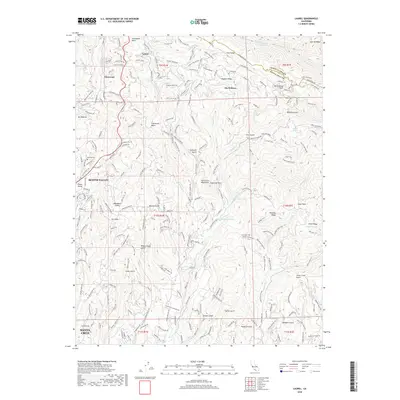
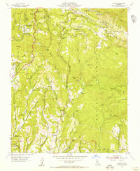 1955 Laurel1956 Print · USGSThe Santa Cruz Mountains are shown during the mid-fifties, detailing the rugged terrain along the San Andreas Rift Zone. Researchers can trace the path of the Southern Pacific RR (Abandoned) and locate centers of community life like Hester Creek Church and Skyland.7 unique versions available
 - 1956 Map of San Jose
 1956 San Jose1956 Print · USGSCentral California in the mid-fifties reveals the transition from sprawling orchards to growing urban hubs like San Jose and Stockton. Genealogists and historians can trace the rail-era landscape of the Mother Lode through Chinese Camp and Tuttletown, or follow the water through the Joaquin River and Calaveras Reservoir.
 - 1962 Map of San Jose
 1962 San Jose1962 Print · USGSCentral California in the early sixties showcases the expansion of the San Joaquin and Santa Clara valleys. Researchers can trace the rail-to-road transition along the Southern Pacific RR or locate landmarks like Castle USAF Base and Loma Prieta.4 unique versions available
 - 1966 Map of San Jose
 1966 San Jose1966 Print · USGSCentral California in the mid-1960s reveals a landscape of massive irrigation projects and expanding Cold War military footprints. Researchers can trace the rail-and-river network of the San Joaquin Valley or locate specialized sites like Castle Air Force Base and the Sharp General Depot (Military).
 - 1978 Map of San Jose
 1978 San Jose1978 Print · USGSSanta Clara County and the East Bay hills are captured in the late seventies, showing the suburban sprawl of San Jose alongside the rural Central Valley. Trace the paths of the Southern Pacific railroad and find landmarks like New Almaden and Lick Observatory.
 - 1996 Map of Laurel, 2000 Print
 1996 Laurel2000 Print · USGSThe Santa Cruz Mountains in the late twentieth century reveal a landscape of mountain retreats and old railroad towns. Genealogists and local historians can trace the foundations of Glenwood, the Loma Prieta Church, and the Bethany Bible College.
 - 2012 Map of Laurel, 2012 Print
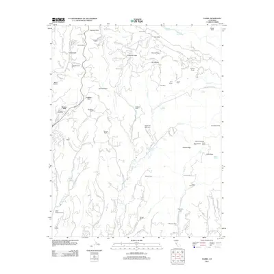 2012 Laurel2012 Print · USGSCovers Happy Valley, including Santa Cruz, Scotts Valley, and other nearby areas
 - 2015 Map of Laurel, 2015 Print
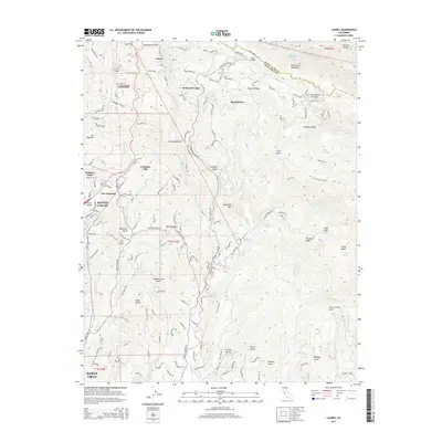 2015 Laurel2015 Print · USGSCovers Happy Valley, including Santa Cruz, Scotts Valley, and other nearby areas
 - 2018 Map of Laurel, 2018 Print
 2018 Laurel2018 Print · USGSCovers Happy Valley, including Santa Cruz, Scotts Valley, and other nearby areas
 - 2021 Map of Laurel, 2021 Print
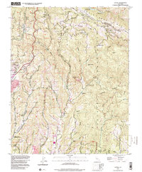
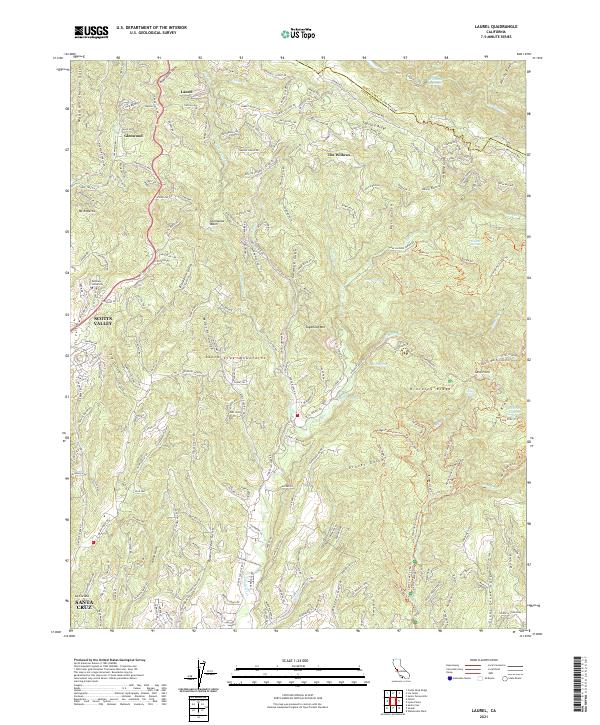 2021 Laurel2021 Print · USGSThe Santa Cruz Mountains at the start of the 2020s are seen here in detail, from the ridge-top roads of Skyland Ridge to the outskirts of Santa Cruz. Local historians can trace family-named landmarks like Mountain Charlie Gulch and the older mountain settlements of Laurel and Glenwood.
End of results
Showing maps 1-15 of 15
Top cities near Happy Valley
- San Jose historical maps
- Santa Cruz historical maps
- Watsonville historical maps
- Los Gatos historical maps
- Saratoga historical maps
- Scotts Valley historical maps
See more
Frequently asked questions
- What are the different types of historical maps available for Happy Valley?
- What is the oldest map of Happy Valley?
- Where can I purchase historical maps of Happy Valley for my home or office?
- Where can I download high-res historical maps of Happy Valley?
- Are there historical topographic maps available for Happy Valley?
- Is there historical aerial imagery available for Happy Valley?
- Where are historical maps of Happy Valley sourced from?