Old Maps of Cottonwood, California for Genealogy
Trace your family roots with 11 historic maps of Cottonwood. These high-res maps reveal old neighborhoods, homesites, landmarks, and streets — helping you uncover where your ancestors lived and how the area evolved over time.
- Explore historic neighborhoods: Identify where your relatives may have lived in the 1800s or 1900s.
- Compare maps over time: Trace the changes in streets, buildings, and landmarks for multi-generational research.
- Perfect for genealogy & ancestry research: Used by family historians and researchers to map out lineage and migration.
These maps are an incredible resource for exploring your personal connection to Cottonwood's past.
Cottonwood, CA maps
(11)- 1890 Map of Red Bluff
 1890 Red Bluff1890 Print · USGSNorthern California in the late nineteenth century was a hub of river-and-rail activity where the Central Pacific Railroad met the rugged Klamath Mountains. Researchers can trace old ferry crossings like Ball's Ferry, locate the U.S. Fishery, or find early mining camps and stations such as Minersville and Buck Horn Station.
 - 1894 Map of Red Bluff, 1896 Print
 1894 Red Bluff1896 Print · USGSNorthern California's mining and river-trading frontier comes alive in this survey of the late nineteenth century. Genealogists and historians can trace the growth of rail hubs like Redding or locate early river crossings and industrial sites such as Jelley's Ferry and the Copper Mine.6 unique versions available
 - 1947 Map of Anderson, 1963 Print
 1947 Anderson1963 Print · USGSShasta and Tehama counties appear here in the late 1940s as a thriving corridor of riverside ranching and rail transport. Researchers can trace family sites like Gaines Ranch, early rural schools including Farquhar Sch, and the historical path of the Southern Pacific Railroad.2 unique versions available
 - 1948 Map of Anderson
 1948 Anderson1948 Print · USGSThe northern Sacramento Valley is captured here in the late 1940s, anchored by the rail corridor and the winding Sacramento River. Genealogists can trace family landmarks like Baker Ranch, Cloverdale Cem, and the rural Evergreen Sch.2 unique versions available
 - 1958 Map of Redding
 1958 Redding1958 Print · USGSNorthern California's valley and mountain landscapes are captured in the late fifties, showing the region as new reservoirs reshaped the river systems. Genealogists and historians can trace rail-side towns like Cottonwood, the military presence at Red Bluff Air Force Station, and mountain outposts like Weaverville.5 unique versions available
 - 1965 Map of Cottonwood, 1966 Print
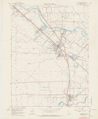 1965 Cottonwood1966 Print · USGSShasta and Tehama counties appear during a period of agricultural and industrial transition in the mid-sixties. Researchers can trace the Southern Pacific rail line and irrigation networks alongside local landmarks like the Oddfellows Cem and Shasta District Fairgrounds.3 unique versions available
 - 1979 Map of Red Bluff
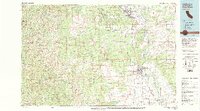 1979 Red Bluff1979 Print · USGSTehama and Shasta counties come alive in the late seventies as the agricultural heart of the northern valley meets the high wilderness. Genealogists and local historians can trace the rail-and-river corridor from Red Bluff to Los Molinos, finding sites like Balls Ferry and the Southern Pacific line.3 unique versions available
 - 2012 Map of Cottonwood, 2012 Print
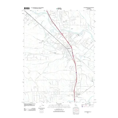 2012 Cottonwood2012 Print · USGSThe Sacramento River corridor near Redding is shown here in the early twenty-first century, spanning from the town centers to the surrounding ranchlands. Genealogists and local researchers can trace family-named sites like Duncan Ranch and landmarks like Oddfellows Cem.
 - 2015 Map of Cottonwood, 2015 Print
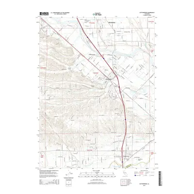 2015 Cottonwood2015 Print · USGSShasta and Tehama counties meet here along the Sacramento River in the mid-2010s, tracing the rail and water routes that built this region. Researchers can locate family sites and landmarks like Oddfellows Cemetery, the Southern Pacific line, and the Anderson Cottonwood Canal.
 - 2018 Map of Cottonwood, 2018 Print
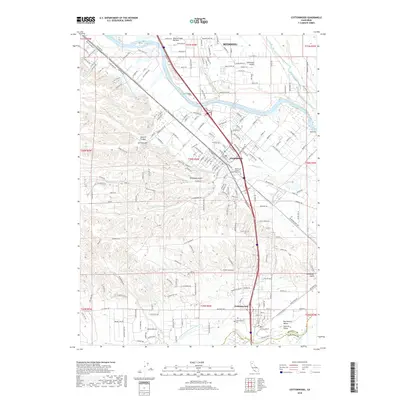 2018 Cottonwood2018 Print · USGSThe Sacramento Valley in the late 2010s is defined by its river-driven geography and the growing communities of Anderson and Cottonwood. Researchers can locate family sites near the Anderson Pioneer / Oddfellows Cem or trace the engineering of the Anderson Cottonwood Canal.
 - 2022 Map of Cottonwood, 2022 Print
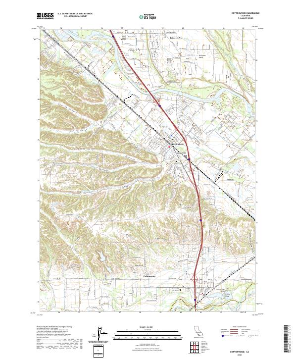 2022 Cottonwood2022 Print · USGSShasta and Tehama Counties are seen here in the 2020s, where the Sacramento River anchors a landscape of canyons and fertile plains. Researchers can trace local heritage at the Anderson Pioneer Oddfellows Cem and the Cottonwood Cem District.
End of results
Showing maps 1-11 of 11
Top cities near Cottonwood
- Redding historical maps
- Red Bluff historical maps
- Anderson historical maps
- Cottonwood historical maps
- Millville historical maps
Frequently asked questions
- What are the different types of historical maps available for Cottonwood?
- What is the oldest map of Cottonwood?
- Where can I purchase historical maps of Cottonwood for my home or office?
- Where can I download high-res historical maps of Cottonwood?
- Are there historical topographic maps available for Cottonwood?
- Is there historical aerial imagery available for Cottonwood?
- Where are historical maps of Cottonwood sourced from?