2000s (21st Century) Maps of Nelson Mill, California
Explore 5 historic maps of Nelson Mill from the 2000s (21st Century). These maps offer a rare glimpse into what life looked like during the 2000s — showing old roads, neighborhoods, homes, and landmarks that have changed or disappeared over time.
Whether you're researching your family's past, planning a metal detecting trip, or studying how Nelson Mill's landscape evolved across the 2000s, these high-resolution maps are a powerful tool for exploring the history of this region.
- Focus on a specific era: All maps on this page are from the 2000s, giving you a focused view of this time period.
- See what’s changed: Compare century-old streets, trails, and buildings to today's modern landscape using overlays and satellite layers.
- Research with precision: Use these maps for genealogy, historical research, land use analysis, or educational projects.
- View, download, or print: Maps are fully viewable online in high resolution, and can be downloaded or printed for your own records.
Start exploring Nelson Mill's history through authentic maps from the 2000s. This is your window into the past.
Nelson Mill, CA maps
(5)- 2000 Map of Pike, 2003 Print
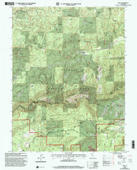 2000 Pike2003 Print · USGSThe Sierra Nevada mining district is documented here at the turn of the millennium, showing a landscape defined by the Middle Yuba River. Genealogists and historians can trace old homesteads and mining claims like Miller Ranch, Alaska Mine, and the historic Malakoff Diggings.
 - 2012 Map of Pike, 2012 Print
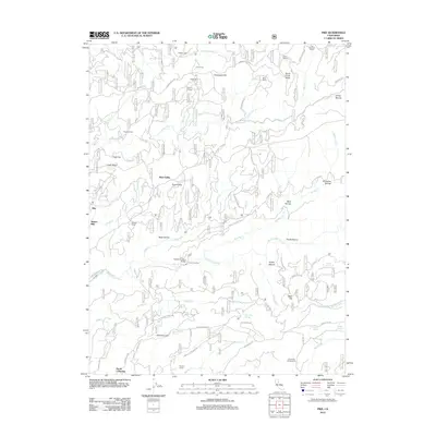 2012 Pike2012 Print · USGSCovers Nelson Mill, including Cruzonville, Nevada County, and other nearby areas
 - 2015 Map of Pike, 2015 Print
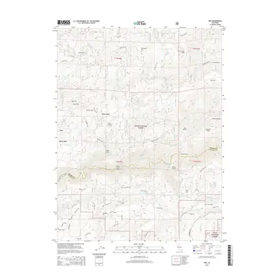 2015 Pike2015 Print · USGSCovers Nelson Mill, including Cruzonville, Nevada County, and other nearby areas
 - 2018 Map of Pike, 2018 Print
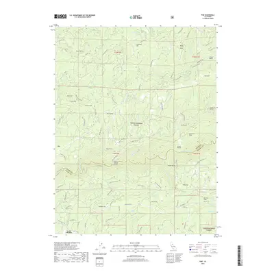 2018 Pike2018 Print · USGSCovers Nelson Mill, including Cruzonville, Nevada County, and other nearby areas
 - 2021 Map of Pike, 2021 Print
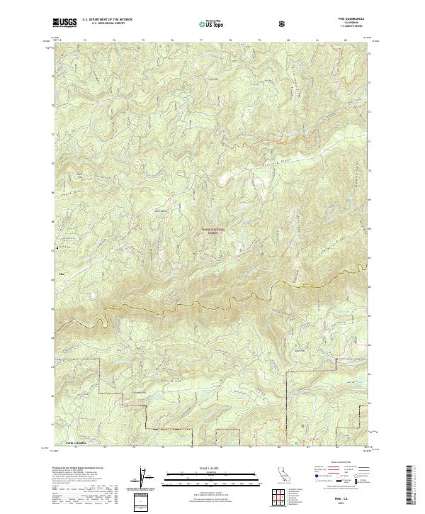 2021 Pike2021 Print · USGSThe Sierra Nevada foothills come into sharp focus in this recent survey of the rugged divide between the Yuba and its tributaries. Researchers can trace the layout of Pike and North Columbia, or locate historic sites like the Pike City Cem and the Black Sands Mine.
End of results
Showing maps 1-5 of 5
Top cities near Nelson Mill
- Grass Valley historical maps
- Nevada City historical maps
- Rough and Ready historical maps
- Washington historical maps
Frequently asked questions
- What are the different types of historical maps available for Nelson Mill?
- What is the oldest map of Nelson Mill?
- Where can I purchase historical maps of Nelson Mill for my home or office?
- Where can I download high-res historical maps of Nelson Mill?
- Are there historical topographic maps available for Nelson Mill?
- Is there historical aerial imagery available for Nelson Mill?
- Where are historical maps of Nelson Mill sourced from?