Old Maps of Hooper, California for Hiking & Exploration
Hike through history with 16 historic maps of Hooper. Explore old trails, ghost towns, and forgotten backroads — perfect for outdoor adventurers and local explorers.
- Rediscover forgotten places: Map out old mining camps, roads, and footpaths that no longer exist on modern maps.
- Layer with modern tools: Combine with LiDAR or satellite views to plan hikes through historical terrain.
- Made for exploration: Popular among hikers, overlanders, and local history lovers.
Use these maps to find adventure and explore the hidden past of Hooper.
Hooper, CA maps
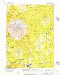
(16)- 1886 Map of Shasta
 1886 Shasta1886 Print · USGSUpper California in the mid-1880s is captured here during the height of the mining era and the early days of mountain tourism. Genealogists can locate family holdings near Yreka, trace river crossings like the ferry at Oaks Bar, or find early resorts at Upper Soda Spring.3 unique versions available
 - 1894 Map of Shasta, 1903 Print
 1894 Shasta1903 Print · USGSNorthern California at the turn of the century reveals a landscape defined by the shadow of Mt Shasta and a booming mining economy. Genealogists can trace family roots through pioneer settlements like Yreka, Fort Jones, and the Callahan Ranch as the frontier transitioned into a network of established ranching and timber hubs.8 unique versions available
 - 1935 Map of Dunsmuir
 1935 Dunsmuir1935 Print · USGSUpper Siskiyou and Shasta counties are shown here in the mid-1930s as the rail and timber industries shaped the mountain landscape. Genealogists and historians can trace the Southern Pacific line through Dunsmuir, locate the Cedar Park Sch, or find vanished stops like Sims Sta.4 unique versions available
 - 1948 Map of Weed, 1950 Print
 1948 Weed1950 Print · USGSNorthern California and Southern Oregon are captured here during the post-war era, documenting the mountain-and-valley economies of the Klamath and Cascade ranges. Trace the legacy of local mining and timber at the King Solomon Mine, find old schools like Siskiyou County School, and follow the historic Southern Pacific RR route.2 unique versions available
 - 1950 Map of Weed
 1950 Weed1950 Print · USGSSiskiyou County and the surrounding Klamath mountains appear in the mid-century before extensive modern development. Genealogists and local historians can locate remote outposts like the Lee Brown Ranch and the specialized settlement of Darlingtonia.
 - 1954 Map of Shasta, 1956 Print
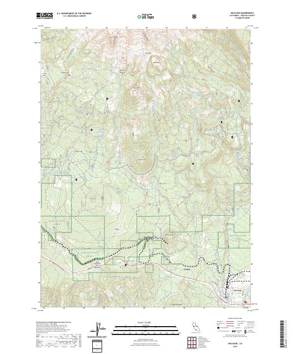
 1954 Shasta1956 Print · USGSSiskiyou County at the height of the mid-century timber era showcases the towering ice-capped peaks and the bustling mill town of McCloud. Trace the routes of the Mc Cloud River RR and locate historic backcountry sites like Shasta Alpine Lodge and Wagon Camp.8 unique versions available
 - 1958 Map of Weed, 1963 Print
 1958 Weed1963 Print · USGSThe Northern California high country of the late fifties is defined by the towering presence of Mt Shasta and the logging railroads of the Siskiyou range. Genealogists and researchers can trace remote mining sites like the China Mine and mountain settlements such as Sawyers Bar and Seiad Valley.3 unique versions available
 - 1963 Map of Weed
 1963 Weed1963 Print · USGSNorthern California during the early 1960s shows a landscape of steep mountain ranges and river-fed valleys at the height of the timber era. Researchers can trace the routes of the McCloud River RR, locate remote sites like the Holiday Mine, or find ancestral markers at the Scott Valley Cem.
 - 1979 Map of Mount Shasta
 1979 Mount Shasta1979 Print · USGSUpper California's mountainous landscape appears in the late seventies as a busy network of timber towns, railroads, and high-altitude mining claims. Trace the legacy of extraction and industry through the Southern Pacific rail line and sites like McCloud and the Bonanza King Mine.3 unique versions available
 - 1986 Map of McCloud
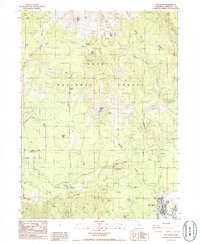 1986 McCloud1986 Print · USGSMount Shasta's southern slopes meet the timber and rail town of Mc Cloud in the mid-eighties as the region's wilderness character remains preserved. Genealogists and local historians can locate early landmarks like Wagon Camp, the Panther Meadow Campground, and remote McGinnis Springs.
 - 1998 Map of Mc Cloud, 2003 Print
 1998 Mc Cloud2003 Print · USGSThe town of Mc Cloud and the southern slopes of Mount Shasta are captured here in the late nineties, showing a landscape defined by forestry and recreation. Researchers can locate the First Baptist Ch, trace the Everitt Memorial Highway, and identify mountain landmarks like Gray Butte and Wagon Camp.
 - 2012 Map of McCloud, 2012 Print
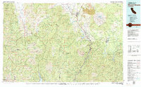
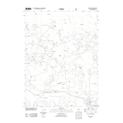 2012 McCloud2012 Print · USGSCovers Hooper, including McCloud, Signal Butte, and other nearby areas
 - 2015 Map of McCloud, 2015 Print
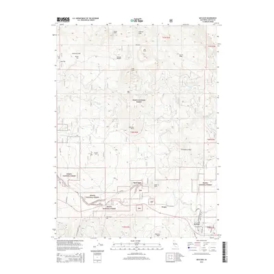 2015 McCloud2015 Print · USGSCovers Hooper, including McCloud, Signal Butte, and other nearby areas
 - 2018 Map of McCloud, 2018 Print
 2018 McCloud2018 Print · USGSCovers Hooper, including McCloud, Signal Butte, and other nearby areas
 - 2022 Map of McCloud, 2022 Print
 2022 McCloud2022 Print · USGSCovers Hooper, including McCloud, Signal Butte, and other nearby areas
 - 2023 Map of McCloud, 2023 Print
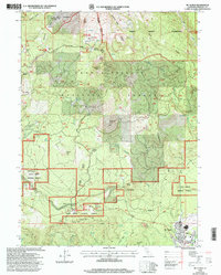
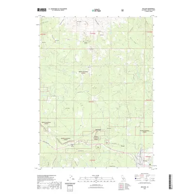
 2023 McCloud2023 Print · USGSMcCloud and the timberlands of the southern Cascades are captured here in the early 2020s. Researchers can trace local landmarks like Snowmans Hill, the settlement of Hooper, and the various springs and trails winding through the Shasta National Forest.
End of results
Showing maps 1-16 of 16
Top cities near Hooper
Frequently asked questions
- What are the different types of historical maps available for Hooper?
- What is the oldest map of Hooper?
- Where can I purchase historical maps of Hooper for my home or office?
- Where can I download high-res historical maps of Hooper?
- Are there historical topographic maps available for Hooper?
- Is there historical aerial imagery available for Hooper?
- Where are historical maps of Hooper sourced from?