
1954 Map of Shasta
USGS Topo · Published 1956About this map
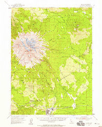
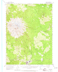
The massive volcanic profile of Mt Shasta and its subsidiary peak Shastina dominate this 1950s survey of the High Cascades. The map illustrates a landscape of extreme glacial activity, naming several active ice bodies including the Whitney, Hotlum, and Konwakiton Glacier. At the mountain's southern base, the logging and timber town of McCloud serves as a hub for the Mc Cloud River RR, showing the industrial footprint of the era through a nearby Sawmill and the local Landing Field.
Find a feature on this map
97 named features on this map. Tap any name to fly to it.
Don’t see what you’re looking for? This feature index may not catch every label — zoom into the map to look around manually.
Map Details
Editions of this 1954 Shasta Map
8 editions found
Other maps of this area

1886 · Modoc Lava Bed
USGS Topo · 1:250,000

1886 · Shasta
USGS Topo · 1:250,000

1892 · Modoc Lava-Bed
USGS Topo · 1:250,000

1894 · Shasta
USGS Topo · 1:250,000

1932 · Bartle
USGS Topo · 1:96,000

1934 · Macdoel
USGS Topo · 1:96,000

1935 · Dunsmuir
USGS Topo · 1:125,000

1939 · Bartle
USGS Topo · 1:125,000

1941 · Macdoel
USGS Topo · 1:125,000

1948 · Weed
USGS Topo · 1:250,000