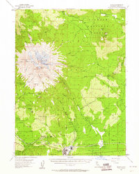
1954 Map of Shasta
USGS Topo · Published 1960About this map
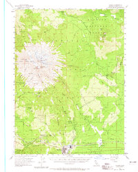
The glacial peaks and logging corridors of Siskiyou County are documented in this mid-century survey, dominated by the massive profile of Mt Shasta and its subsidiary peak, Shastina. The landscape is defined by its active ice flows, including the Bolam Glacier, Whitney Glacier, and Konwakiton Glacier, which feed a network of creeks like Whitney Creek and Mud Creek. In the south, the timber-reliant economy of McCloud is visible, situated along the McCloud River Railroad. This rail line and its associated Ash Creek Junction siding indicate the region's industrial infrastructure during the 1950s.
Find a feature on this map
84 named features on this map. Tap any name to fly to it.
Don’t see what you’re looking for? This feature index may not catch every label — zoom into the map to look around manually.
Map Details
Editions of this 1954 Shasta Map
8 editions found

Other maps of this area

1886 · Modoc Lava Bed
USGS Topo · 1:250,000

1886 · Shasta
USGS Topo · 1:250,000

1892 · Modoc Lava-Bed
USGS Topo · 1:250,000

1894 · Shasta
USGS Topo · 1:250,000

1932 · Bartle
USGS Topo · 1:96,000

1934 · Macdoel
USGS Topo · 1:96,000

1935 · Dunsmuir
USGS Topo · 1:125,000

1939 · Bartle
USGS Topo · 1:125,000

1941 · Macdoel
USGS Topo · 1:125,000

1948 · Weed
USGS Topo · 1:250,000