2000s (21st Century) Maps of Hooperville, California
Explore 5 historic maps of Hooperville from the 2000s (21st Century). These maps offer a rare glimpse into what life looked like during the 2000s — showing old roads, neighborhoods, homes, and landmarks that have changed or disappeared over time.
Whether you're researching your family's past, planning a metal detecting trip, or studying how Hooperville's landscape evolved across the 2000s, these high-resolution maps are a powerful tool for exploring the history of this region.
- Focus on a specific era: All maps on this page are from the 2000s, giving you a focused view of this time period.
- See what’s changed: Compare century-old streets, trails, and buildings to today's modern landscape using overlays and satellite layers.
- Research with precision: Use these maps for genealogy, historical research, land use analysis, or educational projects.
- View, download, or print: Maps are fully viewable online in high resolution, and can be downloaded or printed for your own records.
Start exploring Hooperville's history through authentic maps from the 2000s. This is your window into the past.
Hooperville, CA maps
(5)- 2001 Map of Indian Creek Baldy, 2004 Print
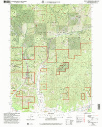 2001 Indian Creek Baldy2004 Print · USGSSiskiyou County's mining history is etched into the landscape of the Klamath National Forest at the turn of the twenty-first century. Researchers can trace the legacy of gold extraction through the Schroeder Mine and the sites of vanished settlements like Deadwood.
 - 2012 Map of Indian Creek Baldy, 2012 Print
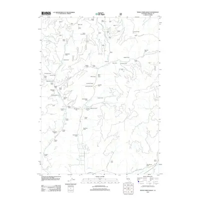 2012 Indian Creek Baldy2012 Print · USGSCovers Hooperville, including Siskiyou County, United States, and other nearby areas
 - 2015 Map of Indian Creek Baldy, 2015 Print
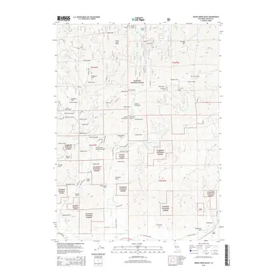 2015 Indian Creek Baldy2015 Print · USGSCovers Hooperville, including Siskiyou County, United States, and other nearby areas
 - 2018 Map of Indian Creek Baldy, 2018 Print
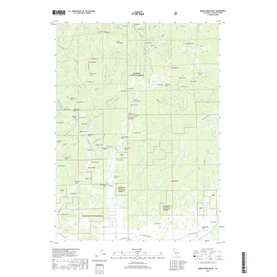 2018 Indian Creek Baldy2018 Print · USGSCovers Hooperville, including Siskiyou County, United States, and other nearby areas
 - 2022 Map of Indian Creek Baldy, 2022 Print
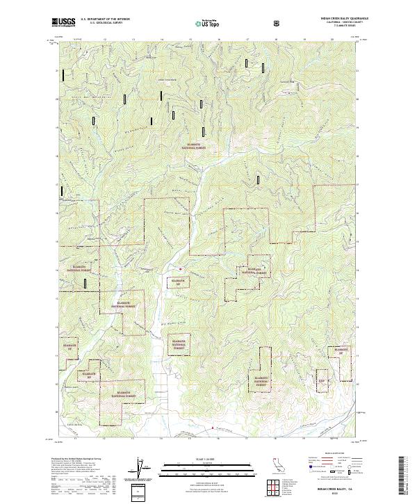 2022 Indian Creek Baldy2022 Print · USGSSiskiyou County's high country is documented in 2022, showcasing the steep ridges of the Scott Bar Mountains and the northern fringe of Scott Valley. Researchers can trace old timber and mining access via Schoolhouse Gap Road to reach landmarks like Gunsight Peak and Indian Creek Baldy.
End of results
Showing maps 1-5 of 5
Top cities near Hooperville
Frequently asked questions
- What are the different types of historical maps available for Hooperville?
- What is the oldest map of Hooperville?
- Where can I purchase historical maps of Hooperville for my home or office?
- Where can I download high-res historical maps of Hooperville?
- Are there historical topographic maps available for Hooperville?
- Is there historical aerial imagery available for Hooperville?
- Where are historical maps of Hooperville sourced from?