2000s (21st Century) Maps of Lake Shastina, California
Explore 5 historic maps of Lake Shastina from the 2000s (21st Century). These maps offer a rare glimpse into what life looked like during the 2000s — showing old roads, neighborhoods, homes, and landmarks that have changed or disappeared over time.
Whether you're researching your family's past, planning a metal detecting trip, or studying how Lake Shastina's landscape evolved across the 2000s, these high-resolution maps are a powerful tool for exploring the history of this region.
- Focus on a specific era: All maps on this page are from the 2000s, giving you a focused view of this time period.
- See what’s changed: Compare century-old streets, trails, and buildings to today's modern landscape using overlays and satellite layers.
- Research with precision: Use these maps for genealogy, historical research, land use analysis, or educational projects.
- View, download, or print: Maps are fully viewable online in high resolution, and can be downloaded or printed for your own records.
Start exploring Lake Shastina's history through authentic maps from the 2000s. This is your window into the past.
Lake Shastina, CA maps
(5)- 2001 Map of Juniper Flat, 2004 Print
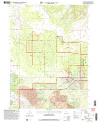 2001 Juniper Flat2004 Print · USGSNorthern Siskiyou County at the turn of the millennium shows a landscape defined by volcanic geology and recreational growth. Trace the development of the Lake Shastina Golf Resort near Dwinnell Dam and locate rural landmarks like Conrad Ranch and the Lava Tubes.
 - 2012 Map of Juniper Flat, 2012 Print
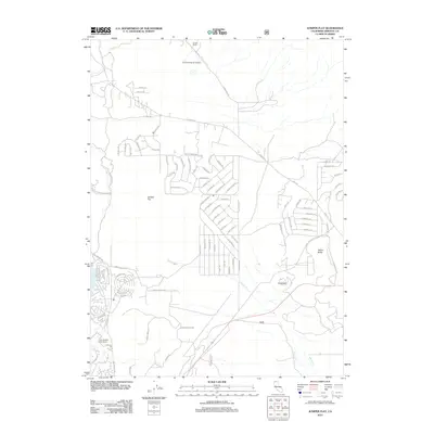 2012 Juniper Flat2012 Print · USGSCovers Lake Shastina, including Siskiyou County, United States, and other nearby areas
 - 2015 Map of Juniper Flat, 2015 Print
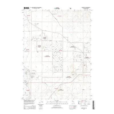 2015 Juniper Flat2015 Print · USGSCovers Lake Shastina, including Siskiyou County, United States, and other nearby areas
 - 2018 Map of Juniper Flat, 2018 Print
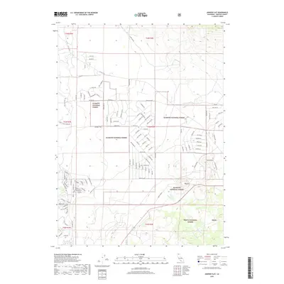 2018 Juniper Flat2018 Print · USGSCovers Lake Shastina, including Siskiyou County, United States, and other nearby areas
 - 2021 Map of Juniper Flat, 2021 Print
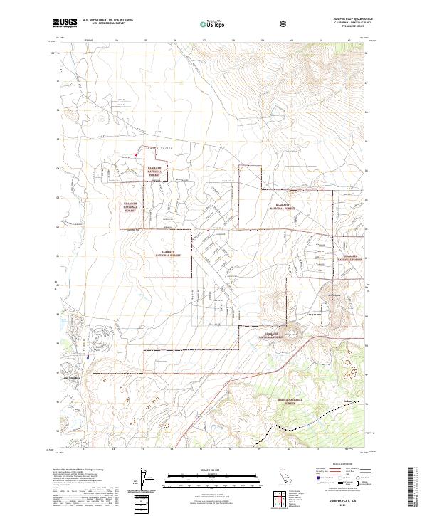 2021 Juniper Flat2021 Print · USGSSiskiyou County's volcanic and forest landscapes are captured here in the early 2020s, showcasing the intersection of wilderness and rural living. Researchers can trace the development of Lake Shastina and the remote high-desert terrain near Juniper Flat and Yellow Butte.
End of results
Showing maps 1-5 of 5
Top cities near Lake Shastina
- Yreka historical maps
- Mount Shasta historical maps
- Weed historical maps
- Montague historical maps
- Grenada historical maps
Frequently asked questions
- What are the different types of historical maps available for Lake Shastina?
- What is the oldest map of Lake Shastina?
- Where can I purchase historical maps of Lake Shastina for my home or office?
- Where can I download high-res historical maps of Lake Shastina?
- Are there historical topographic maps available for Lake Shastina?
- Is there historical aerial imagery available for Lake Shastina?
- Where are historical maps of Lake Shastina sourced from?