2000s (21st Century) Maps of Fairfield, California
Explore 20 historic maps of Fairfield from the 2000s (21st Century). These maps offer a rare glimpse into what life looked like during the 2000s — showing old roads, neighborhoods, homes, and landmarks that have changed or disappeared over time.
Whether you're researching your family's past, planning a metal detecting trip, or studying how Fairfield's landscape evolved across the 2000s, these high-resolution maps are a powerful tool for exploring the history of this region.
- Focus on a specific era: All maps on this page are from the 2000s, giving you a focused view of this time period.
- See what’s changed: Compare century-old streets, trails, and buildings to today's modern landscape using overlays and satellite layers.
- Research with precision: Use these maps for genealogy, historical research, land use analysis, or educational projects.
- View, download, or print: Maps are fully viewable online in high resolution, and can be downloaded or printed for your own records.
Start exploring Fairfield's history through authentic maps from the 2000s. This is your window into the past.
Fairfield, CA maps
(20)- 2012 Map of Fairfield North, 2012 Print
 2012 Fairfield North2012 Print · USGSCovers Fairfield, including Vacaville, Suisun City, and other nearby areas
 - 2012 Map of Cordelia, 2012 Print
 2012 Cordelia2012 Print · USGSCovers Fairfield, including Vallejo, American Canyon, and other nearby areas
 - 2012 Map of Fairfield South, 2012 Print
 2012 Fairfield South2012 Print · USGSCovers Fairfield, including Suisun City, Willota, and other nearby areas
 - 2012 Map of Elmira, 2012 Print
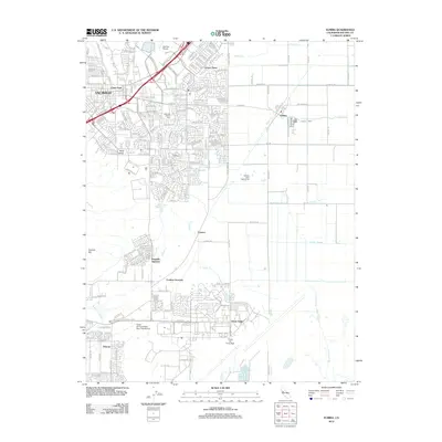 2012 Elmira2012 Print · USGSCovers Fairfield, including Vacaville, Suisun City, and other nearby areas
 - 2012 Map of Denverton, 2012 Print
 2012 Denverton2012 Print · USGSCovers Fairfield, including Suisun City, Denverton, and other nearby areas
 - 2015 Map of Fairfield South, 2015 Print
 2015 Fairfield South2015 Print · USGSCovers Fairfield, including Suisun City, Willota, and other nearby areas
 - 2015 Map of Cordelia, 2015 Print
 2015 Cordelia2015 Print · USGSCovers Fairfield, including Vallejo, American Canyon, and other nearby areas
 - 2015 Map of Fairfield North, 2015 Print
 2015 Fairfield North2015 Print · USGSCovers Fairfield, including Vacaville, Suisun City, and other nearby areas
 - 2015 Map of Elmira, 2015 Print
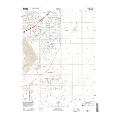 2015 Elmira2015 Print · USGSCovers Fairfield, including Vacaville, Suisun City, and other nearby areas
 - 2015 Map of Denverton, 2015 Print
 2015 Denverton2015 Print · USGSCovers Fairfield, including Suisun City, Denverton, and other nearby areas
 - 2018 Map of Cordelia, 2018 Print
 2018 Cordelia2018 Print · USGSCovers Fairfield, including Vallejo, American Canyon, and other nearby areas
 - 2018 Map of Fairfield South, 2018 Print
 2018 Fairfield South2018 Print · USGSCovers Fairfield, including Suisun City, Willota, and other nearby areas
 - 2018 Map of Fairfield North, 2018 Print
 2018 Fairfield North2018 Print · USGSCovers Fairfield, including Vacaville, Suisun City, and other nearby areas
 - 2018 Map of Denverton, 2018 Print
 2018 Denverton2018 Print · USGSCovers Fairfield, including Suisun City, Denverton, and other nearby areas
 - 2018 Map of Elmira, 2018 Print
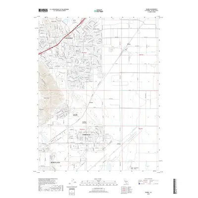 2018 Elmira2018 Print · USGSCovers Fairfield, including Vacaville, Suisun City, and other nearby areas
 - 2021 Map of Fairfield North, 2021 Print
 2021 Fairfield North2021 Print · USGSNorthern Solano County comes into focus in this 2021 study of the growing corridor between Fairfield and Vacaville. Genealogists can locate Fairmont Memorial Park and the Old Solano County Courthouse while tracing old crossroads like Mankas Corner.
 - 2021 Map of Denverton, 2021 Print
 2021 Denverton2021 Print · USGSSolano County’s marshlands and low hills are captured here in the early twenty-first century as urban growth nears the Suisun Marsh. Researchers can trace rural landmarks like Shiloh Cem and the quiet settlement of Denverton alongside Travis Air Force Base.
 - 2022 Map of Elmira, 2022 Print
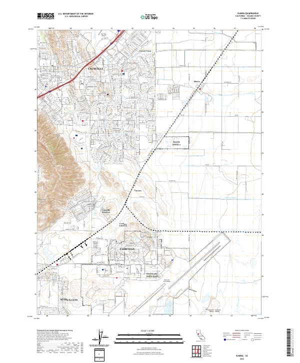 2022 Elmira2022 Print · USGSThe Solano County corridor at the start of the 2020s shows a landscape of suburban expansion and military strategic importance. Genealogists and local historians can trace the growth of Vacaville and Fairfield alongside the Vacaville-Elmira Cem and the vast grounds of Travis Air Force Base.
 - 2022 Map of Cordelia, 2022 Print
 2022 Cordelia2022 Print · USGSThe foothills of the Howell Mountains meet the expanding north bay communities in the early 2020s. Genealogists and historians can trace the development of Vallejo neighborhoods and find old landmarks like Elkhorn Peak, Cordelia, and the Terminal Reservoir.
 - 2022 Map of Fairfield South, 2022 Print
 2022 Fairfield South2022 Print · USGSThe Suisun Marsh and the North Bay hinterlands are revealed in this detailed look at Solano County. Local historians can trace the intricate waterways of Montezuma Slough and locate landmarks like the Rockville Cem and Grizzly Island.
End of results
Showing maps 1-20 of 20
Top cities near Fairfield
- Concord historical maps
- Vallejo historical maps
- Antioch historical maps
- Richmond historical maps
- Vacaville historical maps
- Napa historical maps
See more
Top neighborhoods of Fairfield
- Cordero Junction historical maps
- Tolenas historical maps
- Cordelia Junction historical maps
- Subeet historical maps
- Thomasson historical maps
- Vacaville Junction historical maps
See more
Frequently asked questions
- What are the different types of historical maps available for Fairfield?
- What is the oldest map of Fairfield?
- Where can I purchase historical maps of Fairfield for my home or office?
- Where can I download high-res historical maps of Fairfield?
- Are there historical topographic maps available for Fairfield?
- Is there historical aerial imagery available for Fairfield?
- Where are historical maps of Fairfield sourced from?