Old Maps of Bailhache, California for Genealogy
Trace your family roots with 16 historic maps of Bailhache. These high-res maps reveal old neighborhoods, homesites, landmarks, and streets — helping you uncover where your ancestors lived and how the area evolved over time.
- Explore historic neighborhoods: Identify where your relatives may have lived in the 1800s or 1900s.
- Compare maps over time: Trace the changes in streets, buildings, and landmarks for multi-generational research.
- Perfect for genealogy & ancestry research: Used by family historians and researchers to map out lineage and migration.
These maps are an incredible resource for exploring your personal connection to Bailhache's past.
Bailhache, CA maps
(16)- 1920 Map of Healdsburg
 1920 Healdsburg1920 Print · USGSThe Russian River valley in the early twentieth century was a landscape of expanding viticulture and rail transit. Genealogists and historians can trace the old depots and homesteads from Geyserville to Windsor, finding specific landmarks like the Orphans Home and Olive Hill Cem.
 - 1933 Map of Healdsburg
 1933 Healdsburg1933 Print · USGSSonoma County's wine and river country comes alive in the early 1930s, showing the early footprints of HEALDSBURG and Geyserville. Researchers can trace the Northwestern Pacific rail line to vanished sidings and schools like Grape Sch and Sotoyome Sch.
 - 1940 Map of Healdsburg
 1940 Healdsburg1940 Print · USGSSonoma County's wine and timber country is captured here just before the mid-century, following the winding Russian River through thriving valley towns. Genealogists can locate family-named landmarks and rural schoolhouses like Guilford Sch, Lytton Sch, and the Oak Mound Cem.3 unique versions available
 - 1947 Map of Santa Rosa
 1947 Santa Rosa1947 Print · USGSNorthern California in the late 1940s was a landscape of agricultural valleys and vital rail hubs. Trace the historic routes of the Northwestern Pacific through Healdsburg or explore the mid-century waterfronts of Vallejo and Benicia near Mare Island.
 - 1949 Map of Santa Rosa
 1949 Santa Rosa1949 Print · USGSThe North Bay and Wine Country appear here in the late 1940s, when the Northwestern Pacific RR still dominated regional transit. Genealogists and historians can trace old coastal outposts like Anchor Bay Settlement and the early layout of Santa Rosa.2 unique versions available
 - 1955 Map of Healdsburg, 1956 Print
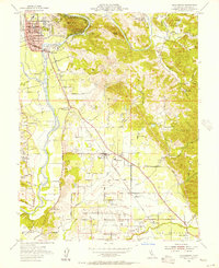 1955 Healdsburg1956 Print · USGSMid-century Sonoma County comes alive along the Russian River in this detailed survey of the valley floor and its surrounding peaks. Genealogists and local historians can locate rural landmarks like Shiloh Cem, the Grange Hall near Windsor, and the Northwestern Pacific rail line.3 unique versions available
 - 1955 Map of Healdsburg, 1959 Print
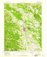 1955 Healdsburg1959 Print · USGSIn the mid-1950s, the Russian River valley supported a flourishing network of orchards, ranches, and small rail stops before the onset of modern development. Genealogists and local historians can trace rural roots at Shiloh Church, Beeson Cemetery, and vanished school sites like Felta Sch.2 unique versions available
 - 1958 Map of Santa Rosa, 1968 Print
 1958 Santa Rosa1968 Print · USGSThe North Bay and Wine Country are captured in the mid-twentieth century as the region balanced its agricultural roots with a growing military and recreational footprint. Researchers can trace the Northwestern Pacific RR through the Russian River valley or locate landmarks like the Petaluma Adobe Historical Monument and The Geysers Resort.3 unique versions available
 - 1962 Map of Santa Rosa
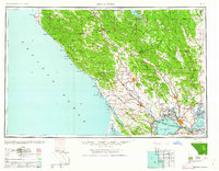 1962 Santa Rosa1962 Print · USGSThe North Bay and Wine Country were entering a period of significant growth in the early sixties, anchored by established rail corridors and coastal maritime commerce. Genealogists and historians can trace the development of Santa Rosa, locate the Mare Island Naval Shipyard, and follow the Northwestern Pacific RR through the Cotati Valley.
 - 1964 Map of Santa Rosa
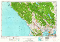 1964 Santa Rosa1964 Print · USGSThe North Bay and Wine Country appear in the mid-fifties during a period of significant military and educational growth. Trace old rail lines like the Northwestern Pacific RR and explore historic sites from Petaluma to the Benicia Arsenal.
 - 1972 Map of Healdsburg, 1975 Print
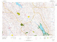 1972 Healdsburg1975 Print · USGSNorthern California wine country and the lower Lake County basins appear here during the early seventies. Trace the Northwestern Pacific rail line and discover foothill communities like Middletown and Loch Lomond.2 unique versions available
 - 1993 Map of Healdsburg
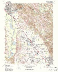 1993 Healdsburg1993 Print · USGSSonoma County's wine country is captured in the early nineties as Healdsburg and Windsor expanded along the Russian River. Genealogists and researchers can trace the Northwestern Pacific rail line and locate the historic Shiloh Cem or the local Grange Hall.2 unique versions available
 - 2012 Map of Healdsburg, 2012 Print
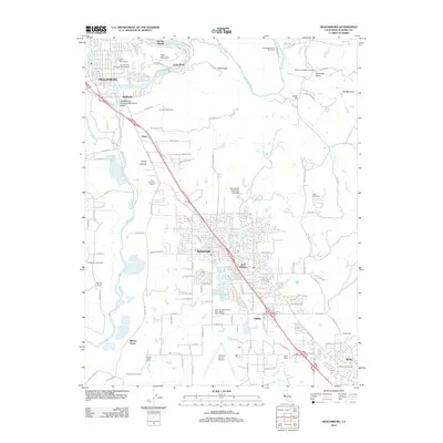 2012 Healdsburg2012 Print · USGSHealdsburg and the Russian River valley are shown in the early 2010s during a period of established viticulture and suburban growth. Researchers can trace family sites at Oak Mound Cem or explore the corridor between Windsor and Wikiup.
 - 2015 Map of Healdsburg, 2015 Print
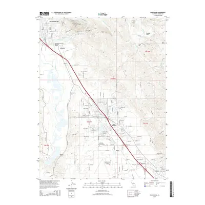 2015 Healdsburg2015 Print · USGSIn the heart of the Sonoma wine country, this survey shows the corridor from Healdsburg south toward Wikiup during a period of modern growth. Researchers can trace the legacy of local families at Oak Mound Cemetery and Faught Cemetery or locate landmarks like Fitch Mtn.
 - 2018 Map of Healdsburg, 2018 Print
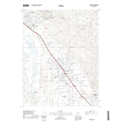 2018 Healdsburg2018 Print · USGSSonoma County's vineyard-rich valley floor comes into focus during this 2018 survey as it follows the Russian River corridor. Genealogists and local researchers can pinpoint historical burial sites like Shiloh Cem or trace the geography of smaller settlements such as Bailhache and Grant.
 - 2021 Map of Healdsburg, 2021 Print
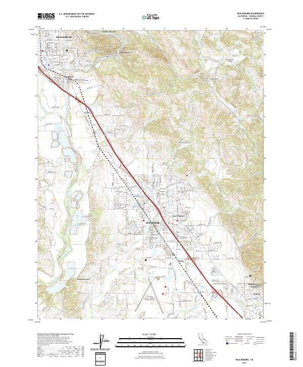 2021 Healdsburg2021 Print · USGSCentrally located in Sonoma County, this recent survey captures the modern landscape of the Russian River valley and its surrounding hills. Researchers can trace family history through Oak Mound Cem, locate the Charles M Schulz - Sonoma County Airport, and follow the historic Northwestern Pacific RR.
End of results
Showing maps 1-16 of 16
Top cities near Bailhache
- Santa Rosa historical maps
- Windsor historical maps
- Villa Grande historical maps
- Healdsburg historical maps
- Cloverdale historical maps
- Sebastopol historical maps
See more
Frequently asked questions
- What are the different types of historical maps available for Bailhache?
- What is the oldest map of Bailhache?
- Where can I purchase historical maps of Bailhache for my home or office?
- Where can I download high-res historical maps of Bailhache?
- Are there historical topographic maps available for Bailhache?
- Is there historical aerial imagery available for Bailhache?
- Where are historical maps of Bailhache sourced from?