2000s (21st Century) Maps of Turlock, California
Explore 16 historic maps of Turlock from the 2000s (21st Century). These maps offer a rare glimpse into what life looked like during the 2000s — showing old roads, neighborhoods, homes, and landmarks that have changed or disappeared over time.
Whether you're researching your family's past, planning a metal detecting trip, or studying how Turlock's landscape evolved across the 2000s, these high-resolution maps are a powerful tool for exploring the history of this region.
- Focus on a specific era: All maps on this page are from the 2000s, giving you a focused view of this time period.
- See what’s changed: Compare century-old streets, trails, and buildings to today's modern landscape using overlays and satellite layers.
- Research with precision: Use these maps for genealogy, historical research, land use analysis, or educational projects.
- View, download, or print: Maps are fully viewable online in high resolution, and can be downloaded or printed for your own records.
Start exploring Turlock's history through authentic maps from the 2000s. This is your window into the past.
Turlock, CA maps
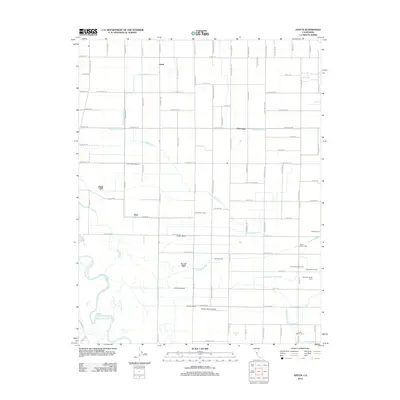
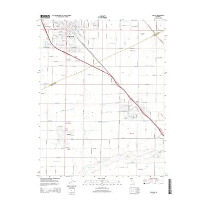
(16)- 2012 Map of Denair, 2012 Print
 2012 Denair2012 Print · USGSCovers Turlock, including Hughson, Denair, and other nearby areas
 - 2012 Map of Hatch, 2012 Print
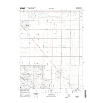
 2012 Hatch2012 Print · USGSCovers Turlock, including Hatch, Chemurgic, and other nearby areas
 - 2012 Map of Ceres, 2012 Print
 2012 Ceres2012 Print · USGSCovers Turlock, including Modesto, Ceres, and other nearby areas
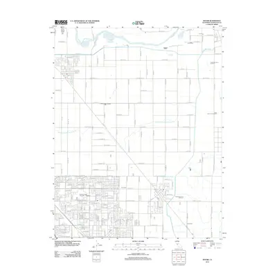
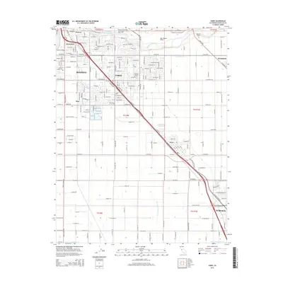
 - 2012 Map of Turlock, 2012 Print
 2012 Turlock2012 Print · USGSCovers Turlock, including Livingston, Delhi, and other nearby areas
 - 2015 Map of Hatch, 2015 Print
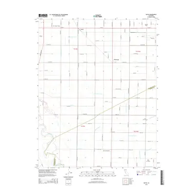 2015 Hatch2015 Print · USGSCovers Turlock, including Hatch, Chemurgic, and other nearby areas
 - 2015 Map of Ceres, 2015 Print
 2015 Ceres2015 Print · USGSCovers Turlock, including Modesto, Ceres, and other nearby areas
 - 2015 Map of Turlock, 2015 Print
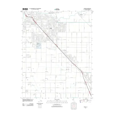
 2015 Turlock2015 Print · USGSCovers Turlock, including Livingston, Delhi, and other nearby areas
 - 2015 Map of Denair, 2015 Print
 2015 Denair2015 Print · USGSCovers Turlock, including Hughson, Denair, and other nearby areas
 - 2018 Map of Denair, 2018 Print
 2018 Denair2018 Print · USGSCovers Turlock, including Hughson, Denair, and other nearby areas
 - 2018 Map of Ceres, 2018 Print
 2018 Ceres2018 Print · USGSCovers Turlock, including Modesto, Ceres, and other nearby areas
 - 2018 Map of Turlock, 2018 Print
 2018 Turlock2018 Print · USGSCovers Turlock, including Livingston, Delhi, and other nearby areas
 - 2018 Map of Hatch, 2018 Print
 2018 Hatch2018 Print · USGSCovers Turlock, including Hatch, Chemurgic, and other nearby areas
 - 2021 Map of Denair, 2021 Print
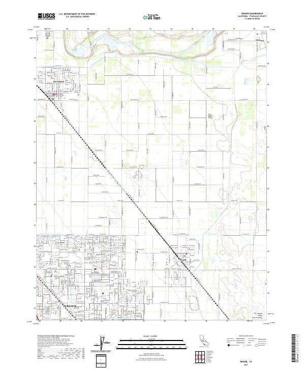 2021 Denair2021 Print · USGSThe northern San Joaquin Valley in the twenty-first century reveals a landscape shaped by massive irrigation works and historic rail towns. Genealogists and local historians can trace the foundations of Hughson and Denair or locate family plots at the Denair Cem.
 - 2021 Map of Hatch, 2021 Print
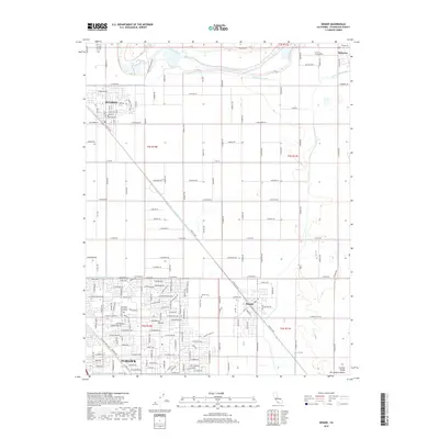
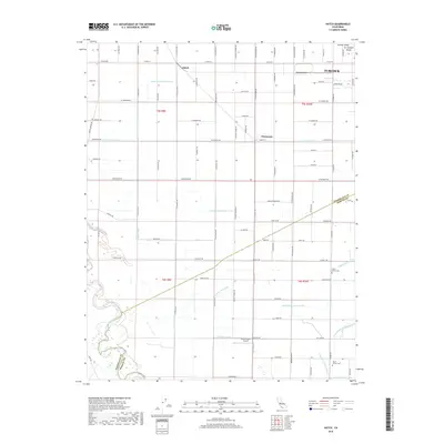
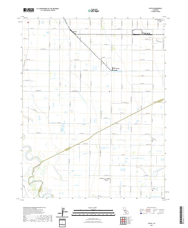 2021 Hatch2021 Print · USGSThe San Joaquin Valley landscape is captured here in the early twenty-first century, showing the sophisticated irrigation network that fuels the region's agriculture. Genealogists and local historians can locate the North Hilmar Cem, South Hilmar Cem, and the small community of Hatch.
 - 2021 Map of Ceres, 2021 Print
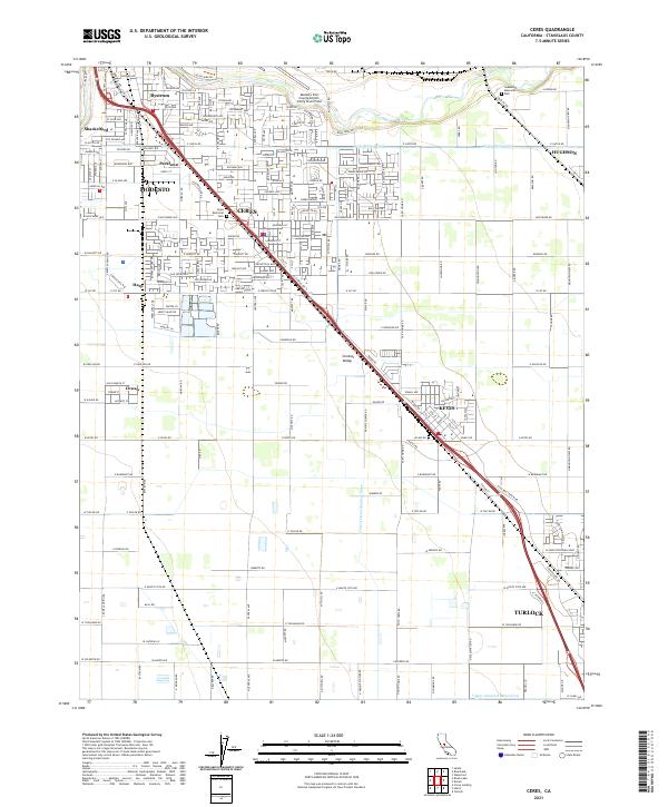 2021 Ceres2021 Print · USGSCentral Valley agricultural life and urban expansion meet in this 2020s survey of Stanislaus County. Genealogists and researchers can trace the growth of Ceres and Modesto alongside landmarks like Ceres Memorial Park and the vital Ceres-Main-Canal.
 - 2021 Map of Turlock, 2021 Print
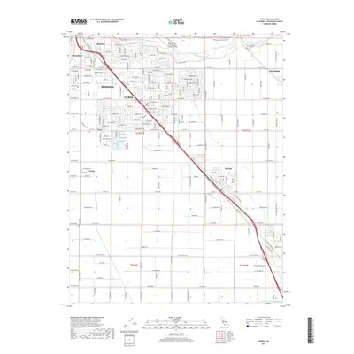
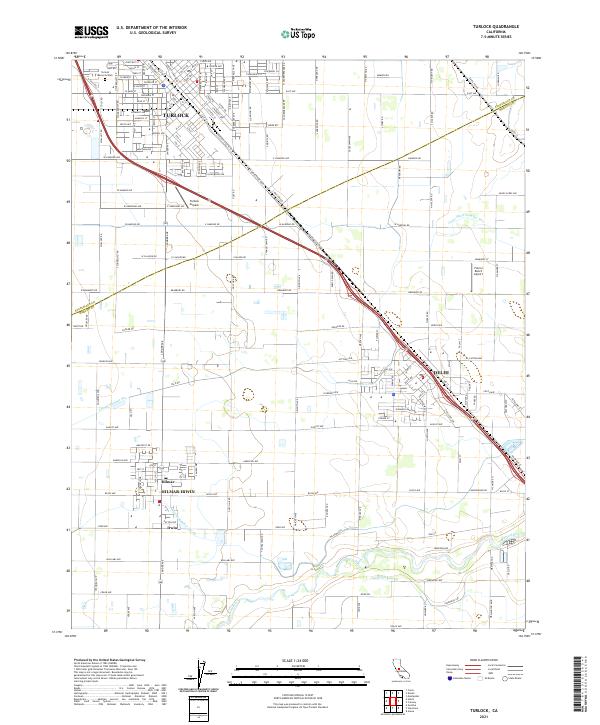 2021 Turlock2021 Print · USGSTurlock and the surrounding Central Valley farmlands are seen here in the early 2020s, showing a landscape defined by irrigation and rail history. Researchers can trace local landmarks like Turlock Memorial Park, the Merced River, and the irrigation network of Garibaldi Lateral.
End of results
Showing maps 1-16 of 16
Top cities near Turlock
- Modesto historical maps
- Ceres historical maps
- Riverbank historical maps
- Livingston historical maps
- Delhi historical maps
- Newman historical maps
See more
Frequently asked questions
- What are the different types of historical maps available for Turlock?
- What is the oldest map of Turlock?
- Where can I purchase historical maps of Turlock for my home or office?
- Where can I download high-res historical maps of Turlock?
- Are there historical topographic maps available for Turlock?
- Is there historical aerial imagery available for Turlock?
- Where are historical maps of Turlock sourced from?