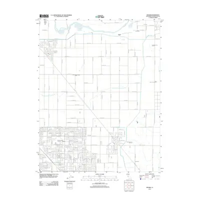
2012 Map of Denair
USGS Topo · Published 2012About this map
The Tuolumne River winds across the northern edge of this landscape, a vital water source that supports a complex network of agricultural irrigation. A sophisticated system of man-made waterways, including the Ceres Main Canal and the Turlock Main Canal, branches into numerous laterals such as Upper Lateral Number Two and Upper Lateral Number Three. This infrastructure underpins the region's dairy industry, evidenced by multiple facilities like Foster Dairy Farms Number 3 and Alberto Dairy scattered throughout the rural sections.
Find a feature on this map
153 named features on this map. Tap any name to fly to it.
Don’t see what you’re looking for? This feature index may not catch every label — zoom into the map to look around manually.
Map Details
Editions of this 2012 Denair Map
This is the sole edition of this map. No revisions or reprints were ever made.
Other maps of this area

1915 · Paulsell
USGS Topo · 1:31,680

1916 · Mitchell School
USGS Topo · 1:31,680

1916 · Cressey
USGS Topo · 1:31,680

1916 · Montpellier
USGS Topo · 1:31,680

1916 · Riverbank
USGS Topo · 1:31,680

1916 · Denair
USGS Topo · 1:31,680

1916 · Waterford
USGS Topo · 1:31,680

1916 · Ceres
USGS Topo · 1:31,680

1917 · Turlock
USGS Topo · 1:31,680

1939 · Modesto East
USGS Topo · 1:62,500