2020s Maps of Mineral, California
Explore 4 historic maps of Mineral from the 2020s. These maps offer a rare glimpse into what life looked like during the 2020s — showing old roads, neighborhoods, homes, and landmarks that have changed or disappeared over time.
Whether you're researching your family's past, planning a metal detecting trip, or studying how Mineral's landscape evolved across the 2020s, these high-resolution maps are a powerful tool for exploring the history of this region.
- Focus on a specific era: All maps on this page are from the 2020s, giving you a focused view of this time period.
- See what’s changed: Compare century-old streets, trails, and buildings to today's modern landscape using overlays and satellite layers.
- Research with precision: Use these maps for genealogy, historical research, land use analysis, or educational projects.
- View, download, or print: Maps are fully viewable online in high resolution, and can be downloaded or printed for your own records.
Start exploring Mineral's history through authentic maps from the 2020s. This is your window into the past.
Mineral, CA maps
(4)- 2021 Map of Grays Peak, 2021 Print
 2021 Grays Peak2021 Print · USGSThe high timber country of the Shasta and Tehama border is mapped here in the early twenty-first century. Researchers can trace forest access routes like Forwards Mill Rd and locate natural landmarks such as Grays Peak and the springs of Sugarpine Flat.
 - 2022 Map of Lassen Peak, 2022 Print
 2022 Lassen Peak2022 Print · USGSThe southern Cascade Range and Lassen Highlands are captured here in the early twenty-first century, showing the volcanic peaks and geothermal basins of Tehama County. Researchers can trace the proximity of the settlement at Mineral to thermal features like Bumpass Hell and Morgan Hot Spring.
 - 2022 Map of Lyonsville, 2022 Print
 2022 Lyonsville2022 Print · USGSIn the highlands of eastern Tehama County, this contemporary survey documents the enduring landscape of the Lassen National Forest. Researchers can locate the site of Lyonsville, trace ancestral ties at Belle Mill Cem, and map the rugged drainage of Deadhorse Falls.
 - 2022 Map of Mineral, 2022 Print
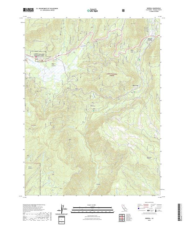 2022 Mineral2022 Print · USGSTehama County's high-country meadows and volcanic peaks appear here as they stood in the early 2020s. Trace the seasonal waterways and forest roads leading to Morgan Springs, Pear Lake, and the distinctive Hole in the Ground.
End of results
Showing maps 1-4 of 4
Top neighborhoods of Mineral
Frequently asked questions
- What are the different types of historical maps available for Mineral?
- What is the oldest map of Mineral?
- Where can I purchase historical maps of Mineral for my home or office?
- Where can I download high-res historical maps of Mineral?
- Are there historical topographic maps available for Mineral?
- Is there historical aerial imagery available for Mineral?
- Where are historical maps of Mineral sourced from?