Old Maps of Luckie Place, California for Metal Detecting
Plan your next treasure hunt with 11 historic maps of Luckie Place. Find old homesites, ghost towns, trails, and gathering spots that may be lost to time — perfect for identifying promising metal detecting locations.
- Locate forgotten sites: Uncover places like long-lost settlements, abandoned rail lines, or gathering spots.
- Plan better hunts: Use map overlays combined with LiDAR or satellite views to narrow in on historically rich areas.
- Made for detectorists: Thousands of hobbyists use these maps to discover relics, coins, and hidden history.
Use these historic maps to boost your research and find new opportunities beneath the surface of Luckie Place.
Luckie Place, CA maps
(11)- 1909 Map of Big Bar
 1909 Big Bar1909 Print · USGSTrinity County at the turn of the century shows a land defined by deep river canyons and remote mountain settlements. Genealogists and local historians can trace early footprints at Hyampom and Hayfork, or locate the high ridges of Barker Mtn and Thompson Peak.2 unique versions available
 - 1915 Map of Big Bar and Vicinity
 1915 Big Bar and Vicinity1915 Print · USGSThe Trinity River wilderness in the early twentieth century was a landscape of isolated mining outposts and river settlements. Genealogists and historians can trace the early footprints of Junction City, Helena, and Hyampom alongside remote landmarks like Keystone Cabin.5 unique versions available
 - 1951 Map of Hayfork, 1953 Print
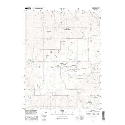
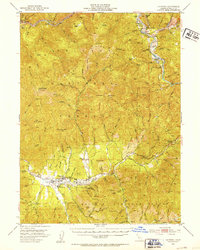 1951 Hayfork1953 Print · USGSTrinity County in the early fifties remains a rugged territory of mountain ranches and deep-canyon mining claims. Researchers can trace the local economy through sites like the Trinity County Fairground in Hayfork and numerous mountain mines including the Kelly Mine and Kellogg Mine.6 unique versions available
 - 1958 Map of Redding
 1958 Redding1958 Print · USGSNorthern California's valley and mountain landscapes are captured in the late fifties, showing the region as new reservoirs reshaped the river systems. Genealogists and historians can trace rail-side towns like Cottonwood, the military presence at Red Bluff Air Force Station, and mountain outposts like Weaverville.5 unique versions available
 - 1982 Map of Hayfork
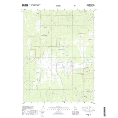
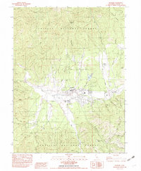 1982 Hayfork1982 Print · USGSHayfork and the surrounding Trinity County mountains are captured here in the early eighties, showing the town at the heart of the valley. Local historians can trace the sites of the Kelly Mine, Big Creek Ranch, and the County Fairgrounds.2 unique versions available
 - 1982 Map of Hayfork, 1983 Print
 1982 Hayfork1983 Print · USGSTrinity and Humboldt counties appear here in the early eighties as a landscape of timber and mining. Researchers can trace remote river settlements like Hyampom and Burnt Ranch or locate old operations such as the Yellowstone Mine and Index Mine.
 - 1998 Map of Hayfork, 2003 Print
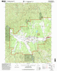 1998 Hayfork2003 Print · USGSHayfork and the surrounding Shasta-Trinity National Forest are captured in the late nineties as a landscape defined by ranching and resource extraction. Genealogists and local historians can trace family-named sites like Luckie Place and Big Creek Ranch or locate the Kelly Mine and Layman Mine.
 - 2012 Map of Hayfork, 2012 Print
 2012 Hayfork2012 Print · USGSCovers Luckie Place, including Hayfork, Trinity County, and other nearby areas
 - 2015 Map of Hayfork, 2015 Print
 2015 Hayfork2015 Print · USGSCovers Luckie Place, including Hayfork, Trinity County, and other nearby areas
 - 2018 Map of Hayfork, 2018 Print
 2018 Hayfork2018 Print · USGSCovers Luckie Place, including Hayfork, Trinity County, and other nearby areas
 - 2021 Map of Hayfork, 2021 Print
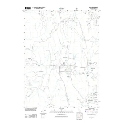
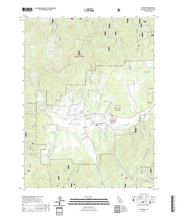 2021 Hayfork2021 Print · USGSHayfork sits at the heart of this Trinity County mountain valley as it appeared in the early 2020s. Researchers can locate specific sites like Hayfork Cem, the Hayfork Airport, and various named drainages such as Mc Covey Gulch and Sawmill Gulch.
End of results
Showing maps 1-11 of 11
Top cities near Luckie Place
Frequently asked questions
- What are the different types of historical maps available for Luckie Place?
- What is the oldest map of Luckie Place?
- Where can I purchase historical maps of Luckie Place for my home or office?
- Where can I download high-res historical maps of Luckie Place?
- Are there historical topographic maps available for Luckie Place?
- Is there historical aerial imagery available for Luckie Place?
- Where are historical maps of Luckie Place sourced from?