Old Maps of Peanut, California for Genealogy
Trace your family roots with 11 historic maps of Peanut. These high-res maps reveal old neighborhoods, homesites, landmarks, and streets — helping you uncover where your ancestors lived and how the area evolved over time.
- Explore historic neighborhoods: Identify where your relatives may have lived in the 1800s or 1900s.
- Compare maps over time: Trace the changes in streets, buildings, and landmarks for multi-generational research.
- Perfect for genealogy & ancestry research: Used by family historians and researchers to map out lineage and migration.
These maps are an incredible resource for exploring your personal connection to Peanut's past.
Peanut, CA maps
(11)- 1931 Map of Hoaglin
 1931 Hoaglin1931 Print · USGSThe Trinity and Van Duzen river systems define this high country during the early 1930s, when remote ranches and forest stations provided the primary human footprint. Researchers can trace family-named sites like Haine Ranch and Blossom Cabin, or locate the isolated Lake Mtn Sch.
 - 1935 Map of Hoaglin
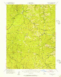
 1935 Hoaglin1935 Print · USGSTrinity and Mendocino counties are captured here in the mid-1930s, documenting a landscape of isolated valleys and mountain ranches. Researchers can trace family homesteads like Russ Place and Shannon Place or locate early schools including Cover Sch and Lake Mtn Sch.3 unique versions available
 - 1954 Map of Dubakella Mtn, 1956 Print
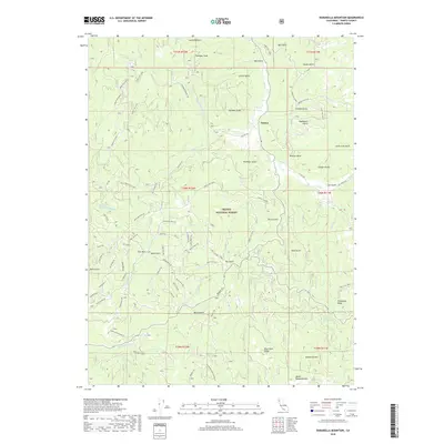
 1954 Dubakella Mtn1956 Print · USGSMid-century Trinity County comes into focus in this survey of the mountainous terrain where Six Rivers National Forest meets the Shasta border. Researchers can trace old homesteads and mountain outposts like Peanut, Shiell Ranch, and the Old Bill Mine.3 unique versions available
 - 1958 Map of Redding
 1958 Redding1958 Print · USGSNorthern California's valley and mountain landscapes are captured in the late fifties, showing the region as new reservoirs reshaped the river systems. Genealogists and historians can trace rail-side towns like Cottonwood, the military presence at Red Bluff Air Force Station, and mountain outposts like Weaverville.5 unique versions available
 - 1979 Map of Garberville, 1996 Print
 1979 Garberville1996 Print · USGSThe redwood forests and river canyons of Humboldt and Trinity counties are shown here in the late seventies. Genealogists and historians can trace rail-side life along the Northwestern Pacific RR or locate small settlements like Fort Seward, Alderpoint, and Zenia.
 - 1981 Map of Dubakella Mtn
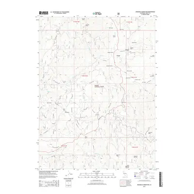
 1981 Dubakella Mtn1981 Print · USGSThe Trinity and Shasta County borderlands are mapped here in the early 1980s, showcasing a network of forest roads and remote settlements. Researchers can locate the Wildwood Sch, trace the Blue Point Ditch, and find the Shiell Ranch (Site).2 unique versions available
 - 1998 Map of Dubakella Mountain, 2003 Print
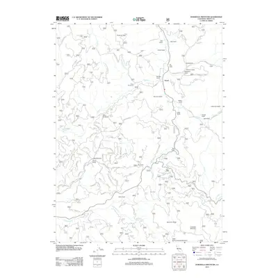
 1998 Dubakella Mountain2003 Print · USGSThe Shasta Trinity National Forest landscape near the turn of the millennium shows a remote mountain region defined by timber and recreation. Researchers can trace the water path of the Blue Point Ditch or locate Peanut and the Plummer Peak Lookout Tower.
 - 2012 Map of Dubakella Mountain, 2012 Print
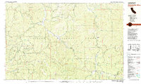
 2012 Dubakella Mountain2012 Print · USGSCovers Peanut, including Trinity County, United States, and other nearby areas
 - 2015 Map of Dubakella Mountain, 2015 Print
 2015 Dubakella Mountain2015 Print · USGSCovers Peanut, including Trinity County, United States, and other nearby areas
 - 2018 Map of Dubakella Mountain, 2018 Print
 2018 Dubakella Mountain2018 Print · USGSCovers Peanut, including Trinity County, United States, and other nearby areas
 - 2021 Map of Dubakella Mountain, 2021 Print
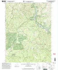
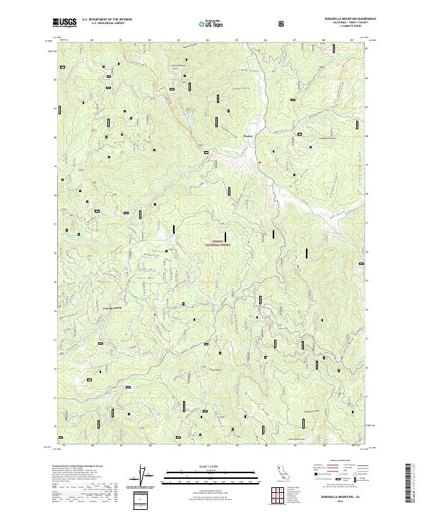 2021 Dubakella Mountain2021 Print · USGSTrinity County's high forest country is captured here in the early twenty-first century, showing the remote settlement of Peanut and the residential growth around Post Mountain. Genealogists and historians can trace local development through family-named landmarks and infrastructure like Chrome Mine Rd and Telephone Ridge.
End of results
Showing maps 1-11 of 11
Top cities near Peanut
Frequently asked questions
- What are the different types of historical maps available for Peanut?
- What is the oldest map of Peanut?
- Where can I purchase historical maps of Peanut for my home or office?
- Where can I download high-res historical maps of Peanut?
- Are there historical topographic maps available for Peanut?
- Is there historical aerial imagery available for Peanut?
- Where are historical maps of Peanut sourced from?