1900s (20th Century) Maps of Stony Creek Village, California
Explore 13 historic maps of Stony Creek Village from the 1900s (20th Century). These maps offer a rare glimpse into what life looked like during the 1900s — showing old roads, neighborhoods, homes, and landmarks that have changed or disappeared over time.
Whether you're researching your family's past, planning a metal detecting trip, or studying how Stony Creek Village's landscape evolved across the 1900s, these high-resolution maps are a powerful tool for exploring the history of this region.
- Focus on a specific era: All maps on this page are from the 1900s, giving you a focused view of this time period.
- See what’s changed: Compare century-old streets, trails, and buildings to today's modern landscape using overlays and satellite layers.
- Research with precision: Use these maps for genealogy, historical research, land use analysis, or educational projects.
- View, download, or print: Maps are fully viewable online in high resolution, and can be downloaded or printed for your own records.
Start exploring Stony Creek Village's history through authentic maps from the 1900s. This is your window into the past.
Stony Creek Village, CA maps
(13)- 1903 Map of Tehipite, 1953 Print
 1903 Tehipite1953 Print · USGSThe High Sierra backcountry in the early twentieth century shows a landscape of early timber works and newly formed preserves. Trace family roots and old park outposts near Hume, Kanawyers, and the historic Abbott Mill.
 - 1905 Map of Tehipite
 1905 Tehipite1905 Print · USGSThe High Sierra at the start of the twentieth century shows a landscape where early tourism and timber industry met. Researchers can trace the original footprint of General Grant National Park and find old lumber sites like Millwood and Harts Sawmill.8 unique versions available
 - 1948 Map of Fresno
 1948 Fresno1948 Print · USGSThe San Joaquin Valley and the High Sierra met during a period of rapid post-war growth and industrial expansion. Genealogists and researchers can trace family lines through small rail towns like Calwa City, find early aviation sites at Fresno-Chandler, or locate the Fresno Copper Mine.
 - 1955 Map of Fresno
 1955 Fresno1955 Print · USGSThe Central Valley and High Sierra meet in this mid-fifties study of California’s agricultural and wilderness heart. Researchers can trace the rail-side growth of Sanger, Selma, and Reedley or locate high-altitude landmarks like Mt Whitney and Hume Lake.
 - 1956 Map of Fresno
 1956 Fresno1956 Print · USGSThe Central Valley and High Sierra meet in this mid-fifties survey of a rapidly developing California interior. Researchers can trace the rail-and-water networks of Visalia, the footprint of Tulare Lake, and the remote heights of Sequoia National Park.
 - 1956 Map of Giant Forest, 1958 Print
 1956 Giant Forest1958 Print · USGSThe High Sierra groves were transitioning into a major recreational destination in the late 1950s. Genealogists and historians can trace the early park infrastructure at Colony Mill Ranger Station, find the small community of Wilsonia, and locate the iconic General Sherman Tree.4 unique versions available
 - 1958 Map of Fresno
 1958 Fresno1958 Print · USGSThe Central Valley and High Sierra meet in this mid-century survey of the California heartland. Researchers can trace the rail-and-road network connecting Fresno and Visalia or locate high-country landmarks like Mt Whitney and Sequoia National Park.
 - 1960 Map of Fresno
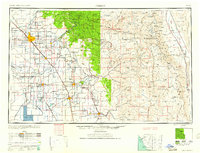 1960 Fresno1960 Print · USGSThe San Joaquin Valley's mid-century agricultural boom meets the high peaks of the Sierra Nevada in this detailed survey. Genealogists and historians can trace the rail-driven growth of Fresno, Tulare, and Visalia or locate family roots in smaller towns like Raisin City and Calwa City.2 unique versions available
 - 1962 Map of Fresno, 1968 Print
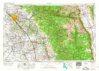 1962 Fresno1968 Print · USGSThe Central Valley and High Sierra meet in this mid-century survey, capturing the region's massive irrigation systems and mountain wilderness. Researchers can trace the rail corridors of the Southern Pacific and locate landmarks like the Tulare Lake Bed and Mount Whitney.3 unique versions available
 - 1966 Map of Fresno
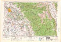 1966 Fresno1966 Print · USGSCentral California in the mid-1960s showcases a high-production agricultural valley rising into the granite peaks of the High Sierra. Researchers can trace irrigation networks, rail spurs like the Southern Pacific, and landmarks from Mount Whitney to the Lemoore Naval Air Station.
 - 1978 Map of Mount Whitney, 1992 Print
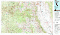 1978 Mount Whitney1992 Print · USGSThe high Sierra and Owens Valley meet in the late 1970s, showcasing the transition from alpine wilderness to valley floor settlements. Trace historical mining operations like the Green Monster Mine or find early routes to the summit near Whitney Portal.
 - 1987 Map of Muir Grove
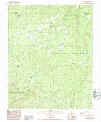 1987 Muir Grove1987 Print · USGSThe high Sierra backcountry of Tulare County is documented here during the late eighties, showing the convergence of several major protected forests. Trace the paths to Stony Creek Village, the ancient sequoias of Muir Grove, and high-altitude landmarks like Poop Out Pass.
 - 1993 Map of Muir Grove, 1994 Print
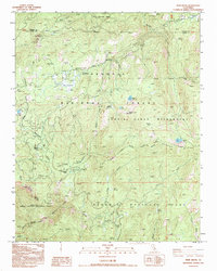 1993 Muir Grove1994 Print · USGSThe High Sierra backcountry of Tulare County is captured here in the early nineties, showing where the national park and forest lands meet. Researchers can trace the developed corridor of Generals Hwy to find Stony Creek Village, Lost Grove, and the Lookout atop Buck Rock.
End of results
Showing maps 1-13 of 13
Frequently asked questions
- What are the different types of historical maps available for Stony Creek Village?
- What is the oldest map of Stony Creek Village?
- Where can I purchase historical maps of Stony Creek Village for my home or office?
- Where can I download high-res historical maps of Stony Creek Village?
- Are there historical topographic maps available for Stony Creek Village?
- Is there historical aerial imagery available for Stony Creek Village?
- Where are historical maps of Stony Creek Village sourced from?