2000s (21st Century) Maps of Camp Earnest, California
Explore 5 historic maps of Camp Earnest from the 2000s (21st Century). These maps offer a rare glimpse into what life looked like during the 2000s — showing old roads, neighborhoods, homes, and landmarks that have changed or disappeared over time.
Whether you're researching your family's past, planning a metal detecting trip, or studying how Camp Earnest's landscape evolved across the 2000s, these high-resolution maps are a powerful tool for exploring the history of this region.
- Focus on a specific era: All maps on this page are from the 2000s, giving you a focused view of this time period.
- See what’s changed: Compare century-old streets, trails, and buildings to today's modern landscape using overlays and satellite layers.
- Research with precision: Use these maps for genealogy, historical research, land use analysis, or educational projects.
- View, download, or print: Maps are fully viewable online in high resolution, and can be downloaded or printed for your own records.
Start exploring Camp Earnest's history through authentic maps from the 2000s. This is your window into the past.
Camp Earnest, CA maps
(5)- 2001 Map of Twain Harte, 2004 Print
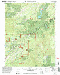 2001 Twain Harte2004 Print · USGSThe Sierra foothills around Twain Harte are shown here as a landscape of timber, mines, and mountain communities at the start of the millennium. Trace the legacy of early industry at the Hess Mill (Site) and historic workings like the Confidence Mine or Geraldine Mine.2 unique versions available
 - 2012 Map of Twain Harte, 2012 Print
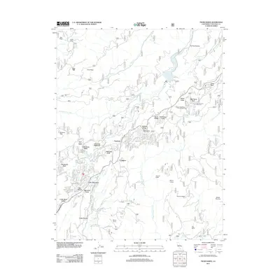 2012 Twain Harte2012 Print · USGSCovers Camp Earnest, including Sierra Village, Brentwood Park, and other nearby areas
 - 2015 Map of Twain Harte, 2015 Print
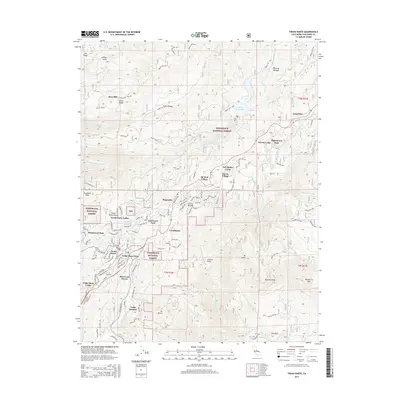 2015 Twain Harte2015 Print · USGSCovers Camp Earnest, including Sierra Village, Brentwood Park, and other nearby areas
 - 2018 Map of Twain Harte, 2018 Print
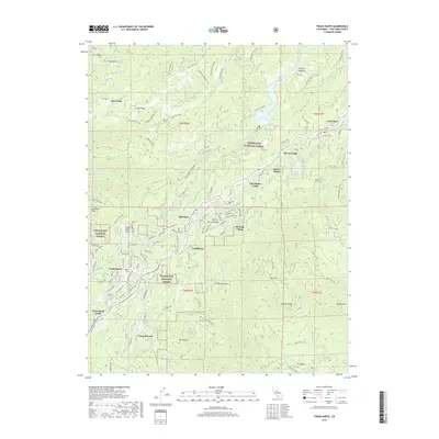 2018 Twain Harte2018 Print · USGSCovers Camp Earnest, including Sierra Village, Brentwood Park, and other nearby areas
 - 2021 Map of Twain Harte, 2021 Print
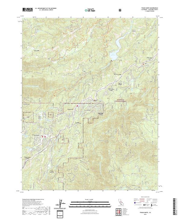 2021 Twain Harte2021 Print · USGSTuolumne County's mountain communities are shown in fine detail during the early 2020s, revealing the intersection of forest life and residential growth. Researchers can trace old timber and recreation sites like Hess Mill, Confidence, and the waters of Lyons Reservoir.
End of results
Showing maps 1-5 of 5
Top cities near Camp Earnest
- Sonora historical maps
- Jamestown historical maps
- Sonora Meadows historical maps
- Groveland historical maps
Frequently asked questions
- What are the different types of historical maps available for Camp Earnest?
- What is the oldest map of Camp Earnest?
- Where can I purchase historical maps of Camp Earnest for my home or office?
- Where can I download high-res historical maps of Camp Earnest?
- Are there historical topographic maps available for Camp Earnest?
- Is there historical aerial imagery available for Camp Earnest?
- Where are historical maps of Camp Earnest sourced from?