Old Maps of Chatsworth Lake Manor (Ventura County), Box Canyon for Metal Detecting
Plan your next treasure hunt with 20 historic maps of Chatsworth Lake Manor (Ventura County). Find old homesites, ghost towns, trails, and gathering spots that may be lost to time — perfect for identifying promising metal detecting locations.
- Locate forgotten sites: Uncover places like long-lost settlements, abandoned rail lines, or gathering spots.
- Plan better hunts: Use map overlays combined with LiDAR or satellite views to narrow in on historically rich areas.
- Made for detectorists: Thousands of hobbyists use these maps to discover relics, coins, and hidden history.
Use these historic maps to boost your research and find new opportunities beneath the surface of Chatsworth Lake Manor (Ventura County).
Chatsworth Lake Manor (Ventura County), Box Canyon maps
(20)- 1903 Map of Calabasas
 1903 Calabasas1903 Print · USGSThe northern reaches of the Santa Monica Mountains and the western San Fernando Valley are shown here at the turn of the century. Genealogists and historians can trace early ranch boundaries like Encino and Las Virgenes, or locate the original sites of Grape Arbor and the Chatsworth Park Branch railroad.8 unique versions available
 - 1903 Map of Camulos
 1903 Camulos1903 Print · USGSSouthern California at the dawn of the twentieth century shows a landscape of ranchos and early rail towns. Trace the old routes through Simi and Camulos, or locate vanished stops like Ternez Siding and the coastal piers at Port Los Angeles.5 unique versions available
 - 1925 Map of Chatsworth
 1925 Chatsworth1925 Print · USGSThe western San Fernando Valley appears here in the mid-1920s as a landscape of new reservoirs and expanding rail lines. Genealogists and local historians can trace the early streets of Chatsworth, the grounds of Oakwood Cemetery, and the historic El Escorpion tract.
 - 1927 Map of Chatsworth
 1927 Chatsworth1927 Print · USGSIn the mid-1920s, the western San Fernando Valley was a landscape of emerging townsets and critical water infrastructure. Trace early street grids and rail lines near Chatsworth, Owensmouth, and the Chatsworth Reservoir.
 - 1929 Map of Chatsworth
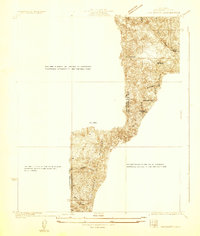 1929 Chatsworth1929 Print · USGSThe foothills of the Santa Susana Mountains come into focus in the late 1920s as Los Angeles began its westward expansion. Genealogists and historians can trace the early boundaries of Oakwood Cemetery, the Southern Pacific rail line, and the fledgling Twin Lakes Addition.
 - 1933 Map of Chatsworth
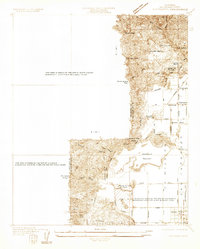 1933 Chatsworth1933 Print · USGSThe Chatsworth area in the early thirties shows a unique blend of old ranching estates and new valley subdivisions. You can trace early property lines at Rancho Sombra del Roble or locate historic landmarks like the Garden of The Gods and Oakwood Cemetery.
 - 1940 Map of Chatsworth
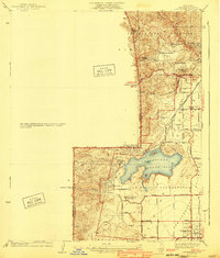 1940 Chatsworth1940 Print · USGSThe northwest San Fernando Valley appears in the 1940s as a land of iconic movie ranches and burgeoning citrus communities. Researchers can trace the early footprints of Chatsworth and Canoga Park or locate family-named sites like Iverson Ranch and Brandies Ranch.
 - 1944 Map of Calabasas
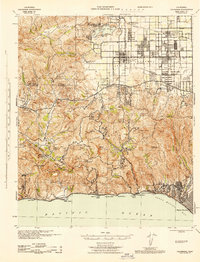 1944 Calabasas1944 Print · USGSMid-century Los Angeles County unfolds here, showing the grid of the San Fernando Valley meeting the Santa Monica Mountains. Trace old ranch boundaries at Platt Ranch or locate early landmarks like the Will Rogers Memorial and Topanga Lookout.
 - 1949 Map of Los Angeles
 1949 Los Angeles1949 Print · USGSSouthern California and the South Coast appear at the onset of the post-war boom, from the Channel Islands to the Mojave Desert. Trace early aviation sites like Lockheed Air Terminal and mining history at the Redrock Quicksilver Mine and Redrover Mine.2 unique versions available
 - 1952 Map of Calabasas, 1953 Print
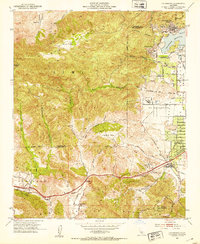 1952 Calabasas1953 Print · USGSThe western San Fernando Valley meets the Simi Hills in the early fifties, showing a landscape of foothill ranching and early canyon communities. Genealogists can locate family landmarks like Chatsworth Lake Manor, the L A Pet Cemetery, and Las Virgenes School.9 unique versions available
 - 1955 Map of Los Angeles
 1955 Los Angeles1955 Print · USGSThe mid-century transformation of Southern California comes into focus as the urban sprawl of Los Angeles meets the wilderness of the Santa Monica Mountains. Researchers can trace the development of post-war suburbs alongside historic landmarks like the Santa Barbara Lighthouse and early industrial sites such as the Good Luck Mine.
 - 1959 Map of Los Angeles
 1959 Los Angeles1959 Print · USGSCoastal California and the high desert met in a period of booming growth after the war. Researchers can trace early aviation and military history at the Point Mugu Air Missile Test Ctr or locate desert mining sites like the Double Eagle Mine.3 unique versions available
 - 1966 Map of Los Angeles
 1966 Los Angeles1966 Print · USGSSouthern California underwent a mid-century transformation as suburban grids reached the base of the San Gabriel Mountains. Researchers can trace the path of the Los Angeles Aqueduct or locate defense landmarks like Edwards Air Force Base.
 - 1975 Map of Los Angeles, 1977 Print
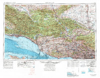 1975 Los Angeles1977 Print · USGSSouthern California is captured in a period of significant growth during the mid-seventies, showing the urban sprawl from the coast to the high desert. Researchers can trace the development of the Pacific Coast Hwy and find aerospace landmarks like Edwards Air Force Base and the Flight Test Center (NASA).2 unique versions available
 - 1976 Map of Calabasas, 1980 Print
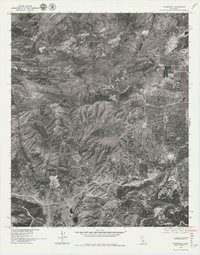 1976 Calabasas1980 Print · USGSCovers Chatsworth Lake Manor (Ventura County), including Los Angeles, Simi Valley, and other nearby areas2 unique versions available
 - 1979 Map of Los Angeles
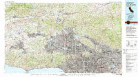 1979 Los Angeles1979 Print · USGSSouthern California at the close of the 1970s reveals a sprawling network of suburban growth and massive infrastructure projects. Researchers can trace established rail lines like the Southern Pacific alongside newer settlements and landmarks like Virginia Colony and Griffith Park.
 - 2012 Map of Calabasas, 2012 Print
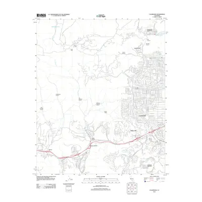 2012 Calabasas2012 Print · USGSCovers Chatsworth Lake Manor (Ventura County), including Los Angeles, Simi Valley, and other nearby areas
 - 2015 Map of Calabasas, 2015 Print
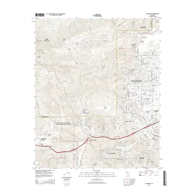 2015 Calabasas2015 Print · USGSCovers Chatsworth Lake Manor (Ventura County), including Los Angeles, Simi Valley, and other nearby areas
 - 2018 Map of Calabasas, 2018 Print
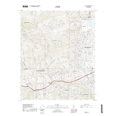 2018 Calabasas2018 Print · USGSCovers Chatsworth Lake Manor (Ventura County), including Los Angeles, Simi Valley, and other nearby areas
 - 2022 Map of Calabasas, 2022 Print
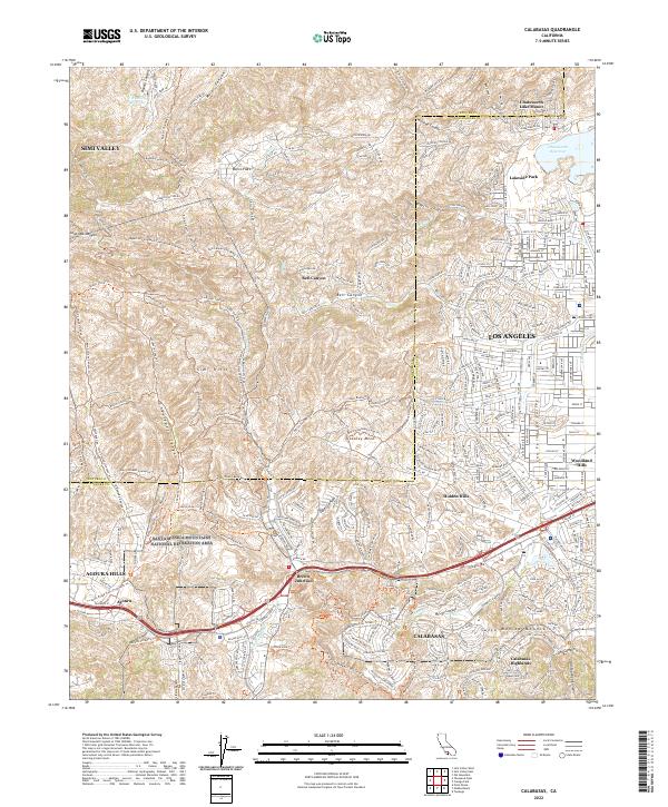 2022 Calabasas2022 Print · USGSThe western San Fernando Valley meets the Santa Monica Mountains in this modern survey of the Los Angeles and Ventura border. Trace the extensive trail network through Laskey Mesa or locate neighborhoods from Hidden Hills to Brents Junction.
End of results
Showing maps 1-20 of 20
Top cities near Chatsworth Lake Manor (Ventura County)
- Los Angeles historical maps
- Santa Clarita historical maps
- Thousand Oaks historical maps
- Simi Valley historical maps
- Santa Monica historical maps
- Culver City historical maps
See more
Frequently asked questions
- What are the different types of historical maps available for Chatsworth Lake Manor (Ventura County)?
- What is the oldest map of Chatsworth Lake Manor (Ventura County)?
- Where can I purchase historical maps of Chatsworth Lake Manor (Ventura County) for my home or office?
- Where can I download high-res historical maps of Chatsworth Lake Manor (Ventura County)?
- Are there historical topographic maps available for Chatsworth Lake Manor (Ventura County)?
- Is there historical aerial imagery available for Chatsworth Lake Manor (Ventura County)?
- Where are historical maps of Chatsworth Lake Manor (Ventura County) sourced from?